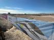
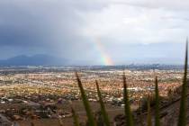
Stormy conditions possible Friday afternoon around Las Vegas


It could be a wet and windy Friday afternoon in and around Las Vegas.
“Some brief but heavy rainfall is possible,” National Weather Service meteorologist Chelsea Kryston said. “The storms will primarily develop first in the higher terrain south and west of Las Vegas in the Spring Mountains, but some heavy rains could occur in the valley.”
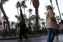
Gusty outflow winds of 30 to 40 mph with gusts to 50 mph are possible.
“A good amount of the rainfall will evaporate out before hitting the ground, but there could be some brief heavy rainfall,” she said.
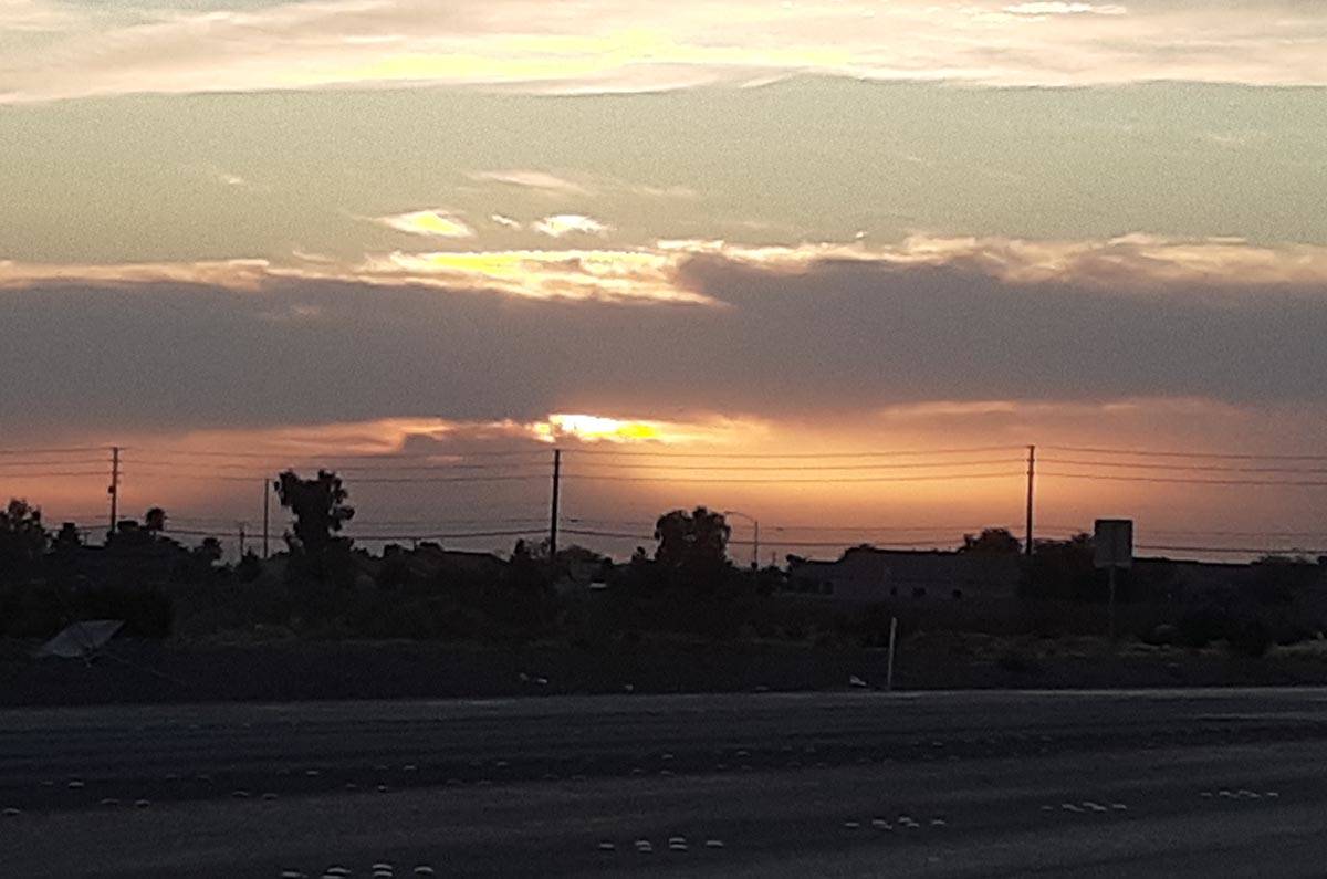
Storms are possible after 1 p.m. and could develop as the sun sets or a bit later.
The forecast high is 104 with light and variable winds. The early Saturday low will be around 75.
Sunday’s forecast calls for a mostly sunny sky with a high of 102. Some patchy blowing dust after 10 a.m. is possible.
Much cooler Monday
A low-pressure system is expected to move through the valley early Monday, bringing temperatures about 12 to 15 degrees lower than the 102 forecast for Sunday.
“We could have winds of 40-50 mph and perhaps even higher,” Kryston said.
Fire weather watch
A fire-weather watch that covers the region begins at 7 a.m. Sunday and continues through 9 p.m. Monday, the weather service said.
Southwest winds of 20 to 30 mph with gusts to 40 mph are possible. When combined with low humidity of 10-20 percent and dry fuels, fires could spread rapidly.
The watch could develop into a red flag warning, and Kryston said a wind advisory would probably be issued soon.
Contact Marvin Clemons at mclemons@reviewjournal.com or 702-863-4285. Follow @Marv_in_Vegas on Twitter.