FAST not perfect; leave on trips early


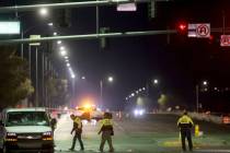
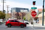
There’s been a fair amount of fiction among the “facts” a number of readers have shared about the Freeway and Arterial System of Transportation operated by the Regional Transportation Commission of Southern Nevada.
Many have mocked the FAST system, calling on the commission to overhaul the system of cameras, sensors, meters, dynamic signs and timed traffic signals that are designed to help traffic flow smoothly through the Las Vegas Valley.
After a series of reader rants quick to bash FAST, I chatted with Brian Hoeft, who oversees the decade-old intelligent traffic management system, to see whether the complaints are justified.
In some cases, they are. Hoeft said several conditions have changed over the years resulting in what appears to be an uncoordinated tangle of traffic signals that effectively lengthen the journey between Point A and Point B.
He said the biggest misconception about the system is that it is designed to provide motorists a river of green lights.
“Ideally, we like to see vehicles travel in platoons that give the motorist a good ride,” Hoeft said. “That doesn’t mean you’re going to get a green light at every intersection.”
There are several variables that affect providing that good ride. The biggest is traffic volume.
The laws of physics limit the number of vehicles that can move smoothly at any one time. More traffic means more potential delays.
These days, for example, there is more traffic on my primary commute route, Martin Luther King Boulevard, because there is road construction on southbound Interstate 15, and that encourages more motorists to choose MLK as a better alternative.
Another variable: speed limits. The speed limit on a portion of Martin Luther King was reduced from 45 mph to 35 mph near Lake Mead Boulevard recently for safety reasons.
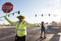
Still another variable: Federal government standards on pedestrian movement in crosswalks have changed. Hoeft said the feds now say the average pedestrian moves at 3.5 feet per second instead of the previous standard of 4 feet per second. That means when a street is 100 feet wide, the recommended crossing time is five seconds longer and the light stays red for those waiting.
The commission and the Nevada Transportation Department, which share responsibilities for FAST, must coordinate with municipalities. A speed limit change in Las Vegas might change the variables for North Las Vegas.
“We all have to be on the same page,” Hoeft said. “Our primary goal is safety and to move traffic as efficiently as possible. People take the system for granted and oversimplify what’s going on around them. It’s human nature for people to think just about themselves on their trip.”
The best solution is to leave five minutes earlier for your destination because the lights aren’t going to be all green on your trip.
The system never will be perfect, and the sooner that motorists realize that, the better the commute will be.
WET ‘N’ WILD TRAFFIC
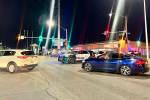
As promised, Clark County last week delivered the first of two traffic signals on Fort Apache Road near the Wet ’n’ Wild water park in the southwest valley.
When the project was announced in May, officials said a light at Fort Apache and Maule Avenue would be activated by mid-July, and a second at Fort Apache and Warm Springs would be turned on in mid-August. The project, costing a total $1.1 million, is eliminating a pair of four-way stop signs. The Maule light will improve the flow in and out of the water park parking area. The added benefit is that it will provide a safe crossing for students attending Faiss Middle School.
The ceremony to activate the light apparently caused a minor traffic jam at 6:30 a.m. Thursday.
PERSONAL ROAD TRIP
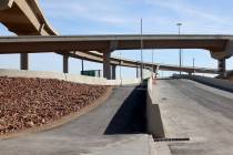
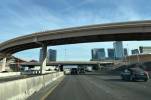
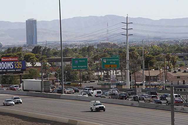
Last week, I traveled through the Interstate 15 cone zones that have caused so much anxiety, and my firsthand report is that whether you’re slowed down for a few minutes, trapped in stop-and-go traffic or zip through with no delay is all a matter of when you’re there and luck.
I hit the notorious 26-mile one-lane stretch of northbound I-15 near Hidden Valley about 7 a.m., and it was a smooth ride. Even the one-lane stretches in the Virgin River Gorge in Arizona produced minimal heartburn.
The key takeaway: If you can, go early. Later in the day, truck traffic picks up, and it’s bound to be a slower journey.
It’s understandable why residents of Overton, Logandale and the Moapa Valley are distressed about the traffic management solution the Nevada Transportation Department devised.
Northbound traffic is segregated by concrete barriers just south of the state Route 169 exit of I-15 for about four miles. That means local residents who use that exit and are heading for Mesquite must fall in with trucks that trudge up a steep incline just north of the exit.
It helps the through traffic but creates havoc for exiting locals.
Questions and comments should be sent to roadwarrior@reviewjournal.com. Please include your phone number. Follow the Road Warrior on Twitter @RJroadwarrior.