City, county, state to swap various Las Vegas Valley roadways
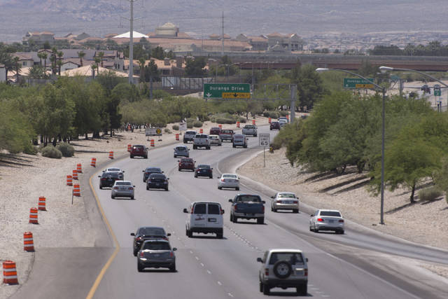


After three years of talks, officials have agreed that management of various roadways in the valley will be transferred by different government agencies.
The right-of-way transfer of roads between the Nevada Department of Transportation, Clark County and the City of Las Vegas will occur over the next 12 to 18 months. The move is aimed at increasing the operations and maintenance of those roads.
“This swap helps us focus upon high-volume, high-speed corridors with limited access and multi-lane capacity, such as freeways and expressways, which is more in line with the mission of a state department of transportation,” said Robert Madewll, chief of NDOT’s road data and research division. “Surface roads and arterials to cities and counties mainly service their populations. They were never intended to be part of a state transportation system. Additionally, changes in road classification types now enable cities, counties and other regional municipalities to pursue federal road funding independently.”
Nevada refined statute says NDOT can relinquish any road that exceeds its needs to a city or county. State-owned local arterials serve local business and residential interests, which should be the responsibility of local agencies, NDOT said. Additionally, NDOT can accept roads from cities and counties that the department believes qualifies to join the state highway system. High volume, multi-lane, access controlled, long distance roads, such as the 215 Beltway, meet the criteria for joining the state highway system.
The following roadways will be transferred:
From City of Las Vegas to State of Nevada
— Summerlin Parkway, 215 Beltway to Tenaya Way (the current start of the state highway without U.S. Highway 95).
From State of Nevada to Clark County
State Route 159 (Charleston Boulevard)
— Charleston, south half from the east right-of-way of the 215 Beltway to approximately 500 feet west of Hualapai Way (Las Vegas city limit).
State Route 589 (Sahara Avenue)
— Sahara, south half from the east right-of-way line of Rainbow Boulevard to Las Vegas limits east of Decatur Boulevard.
— Sahara, south half from the east right-of-way line of south Bridge Street to west right-of-way line of Boulder Highway.
— Sahara, full width from the east right-of-way line of Boulder Highway to west right-of-way line of Nellis Avenue.
State Route 594 (Russell Road)
— Russell, full width from the east right-of-way line of Polaris Avenue to the west right-of-way line of Las Vegas Boulevard.
State Route 593 (Tropicana Avenue)
— Tropicana, full width from the east right-of-way line of Las Vegas Boulevard to east right-of-way line of Maryland Parkway:
State Route 596 (Jones Boulevard)
— Jones, full width from the north right-of-way line of Tropicana to the south right-of-way line of Sahara.
From Clark County to State of Nevada
215 Beltway
— From Warm Springs Road to the bridge deck east edge at Pecos Road will be transferred after the completion of a county project to expand the beltway in each direction. The state will take over operation and maintenance upon project completion later this year.
— From Pecos Road to Stephanie Street (current start of the 215 Beltway).
From State of Nevada to City of Las Vegas
State Route 159 (Charleston)
— Charleston, north half from the east right-of-way of 215 Beltway to approximately 500 feet west of Hualapai (Las Vegas city limit). Then, the full right-of-way from this point to the western edge of the Martin Luther King Boulevard bridge deck at Interstate 15.
— Charleston, full width from west of the right-of-way line of Commerce Street to center extension of 15th Avenue, including the intersection of Fremont Street/Boulder Highway/Charleston.
State Route 582 (Fremont Street)
— Fremont, full width from the beginning of the state-maintained portion at 8th Street to Charleston.
State Route 589 (Sahara)
— Sahara north half from the east right-of-way line of Rainbow Boulevard to Las Vegas city limits east of Decatur Boulevard. Then, the full width from city limit to the west right-of-way line of Rancho Drive. Note: the south side of Sahara at Rancho Drive will remain under state control for approximately 500 feet west due to I-15 control of access issues.
Contact Mick Akers at makers@reviewjournal.com or 702-387-2920. Follow @mickakers on Twitter.