Evening winds up to 40 mph expected in Las Vegas Valley
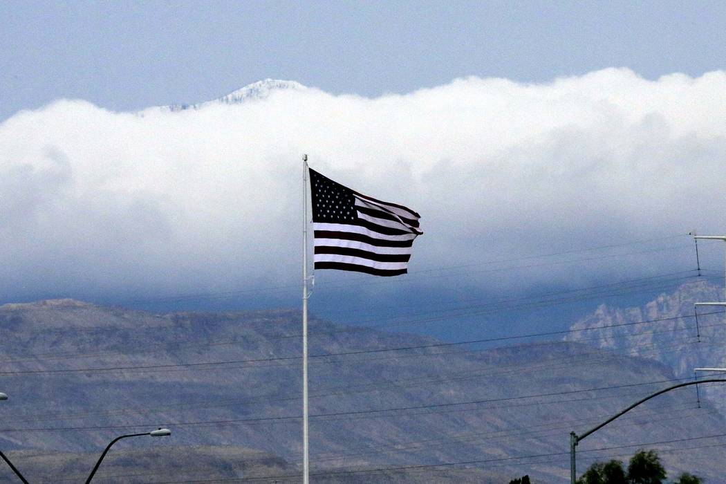


Wind gusts of up to 40 mph were expected Wednesday night in the Las Vegas Valley as a strong cold front moves in from the north.
The National Weather Service had already measured gusts up to 30 mph by 9:15 p.m. Wednesday, meteorologist Trevor Boucher said. A wind advisory and red flag warning for increased fire risk is in effect until 5 p.m. Thursday.
Winds will remain elevated through Thursday. Northerly winds will be 30-40 mph at their highest, said National Weather Service meteorologist Jenn Varian.
Wednesday’s high reached 92, but temperatures are expected to plummet over the next few days. As the cold front arrives, the overnight low will drop into the low 50s and high 40s.
Thursday will be sunny and windy with a high near 68.
Friday will see a high of 71, followed by highs of 77 on Saturday and 80 on Sunday. The weekend will see calm winds and will be followed by a high of 82 on Monday, the weather service said.
The normal temperature for this time of year is 84.
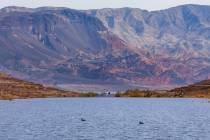
Areas covered by the wind advisory include Southern Nevada, southeast California and the Lower Colorado River Valley, including Lakes Mead, Mohave and Havasu.
The combination of strong winds, low humidity and warm temperatures can contribute to extreme fire behavior, the weather service warned.
Motorists should use caution when driving, especially high-profile vehicles. Blowing dust could make visibility near zero at certain times.