Las Vegas airport records first freezing temperature in 674 days
A Saturday morning low of 32 was the first freezing temperature in 674 days at McCarran International Airport, the official weather station for the Las Vegas Valley.
The overnight low was reached around 6:20 a.m. The last freezeing day at the airport was Feb, 5, 2020.
“We’ve warmed up to 33, so 32 looks like it will be the low although the freeze warning ends at 8 a.m.,” National Weather Service meteorologist Jenn Varian said shortly before 7 a.m.
Henderson Executive Airport dipped to 27, the lowest reading in the valley. Nellis Air Force Base dropped to 29 with the North Las Vegas Airport dipped to 32. Desert Rock Airport had dropped to 28. The Boulder City Airport reached a low of 34.
Arroyo Grande Sports Complex in Henderson was at 32 as was Eagle Crest Gold Course in Summerlin.
Welcome news for snow fun
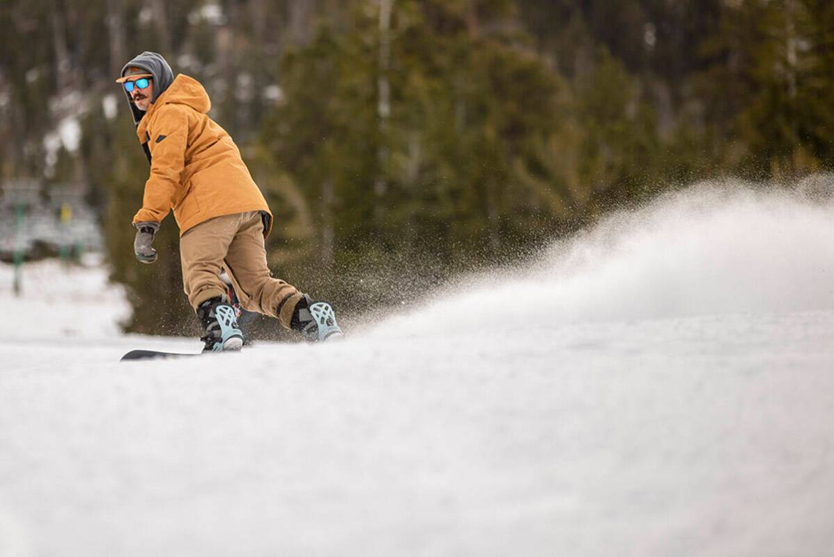
The freezing temperatures might pose trouble for valley residents, but the weekend cold snap is welcome news for skiers and snowboarders.
Several parts of the valley — especially in the outskirts and higher elevations — are expected to see Saturday morning temperatures below 30, says the National Weather Service.
“McCarran (International Airport) is forecast to drop to 35, so places such as Southern Highlands, Mountain’s Edge and Summerlin will likely be in the upper 20s in the morning,” meteorologist Andy Gorelow said Friday evening. “We’re pretty sure that the foothills and outskirts will be below freezing.”
Residents are advised to protect plants, pipes and people, Gorelow said.
“Take steps now to protect tender plants from the cold. To prevent freezing and possible bursting of outdoor water pipes they should be wrapped, drained, or allowed to drip slowly. Those that have in-ground sprinkler systems should drain them and cover above-ground pipes to protect them from freezing,” states the weather service freeze warning.
❄️ Winter weather will make a return to the region early next week, with heavy snow possible in the Sierra & White Mountains in California, as well as the Spring & Sheep ranges in Southern NV! Stay tuned! #cawx #nvwx 🏔️ pic.twitter.com/TsQhZNhkNO
— NWS Las Vegas (@NWSVegas) December 10, 2021
After the morning freeze, highs for the weekend are expected to be in the mid-50s with sunny skies in the valley. Overnight lows should be in the mid-30s. Monday’s high is forecast at 61.
Cold is warm news for Lee Canyon
As for mountain recreation lovers, the cold weather is very warming. Lee Canyon is not open for winter recreation, but that could change in the coming days, depending on conditions.
“They (Lee Canyon) can’t make snow unless it is below freezing and they have started making snow,” Lee Canyon representative Stephanie Forte said. “Ideally, plenty of natural snow is the best, but it’s looking right now that it will be cold all weekend for making snow.”
The weather service forecast calls for a Tuesday storm that could bring a foot of snow to Lee Canyon.
“It’s a pretty big system with lots of moisture,” Gorelow said of a forecast that calls for 4 to 8 inches above 5,000 feet and a foot above 8,000 feet. The base lodge at Lee Canyon is at 8,594 feet.
Forte said an announcement about an opening date may ride on the cold weekend and anticipated Tuesday storm.
“It’s safe to say that if those factors — the cold weekend and the expected snowfall — stay in place it presents a good scenario for skiers and snowboarders,” Forte said.
Snowmaking began Thursday night and will continue at Lee Canyon through the weekend, if conditions allow any artificial snow to stick and not melt.
“The snowmaking team has to gauge if there is an overnight low (cold enough) and an afternoon high that won’t create melting,” Forte said.
Lee Canyon said it won’t rush top open, said Jim Seely, director of marketing, noting snowmaking stopped during the day Friday. Most snowmaking is done at night when temperatures are the coldest.
“We like to take our time and make sure people can enjoy the trails when we open,” Seely said. “We will assess the conditions after the anticipated storm and make a decision (about opening).”
Daily passes can be purchased online and start in the mid-$60s range. Pricing is dynamic, depending on day of the week and business volume, Seely said.
More rain on the way
The system, expected to arrive Tuesday, could bring widespread rain to the valley, Gorelow said.
The current forecast calls for showers mainly after 10 a.m. Tuesday with showers into the evening hours.
“We could see a quarter to a half an inch mostly Tuesday and into Tuesday night before it exits the area,” Gorelow said.
Lack of precipitation
The year is likely to finish as one of the four driest in the past 20 years, Gorelow said.
As of Friday, McCarran had received 1.6 inches with the norm being 3.83 inches.
In the past 20 years, only three years have finished below 2 inches in total precipitation (1.81 inches in 2014, 1.59 inches in 2009 and 1.44 inches in 2004), according to weather service records.
Up to 100 inches near Lake Tahoe
Lake Tahoe and the Sierra Nevada are forecast to see heavy snow as a “significant” winter storm sweeps the mountain range, the weather service said.
A winter storm watch was issued to begin at 4 p.m. Saturday to 4 p.m. Tuesday. The storm is expected to impact travel along the U.S. Highway 50 corridor beginning Sunday, when travelers will see conditions deteriorate, with strong winds and whiteout conditions. Downed trees and power outages are possible.
Contact Marvin Clemons at mclemons@reviewjournal.com. Follow @Marv_in_Vegas on Twitter.