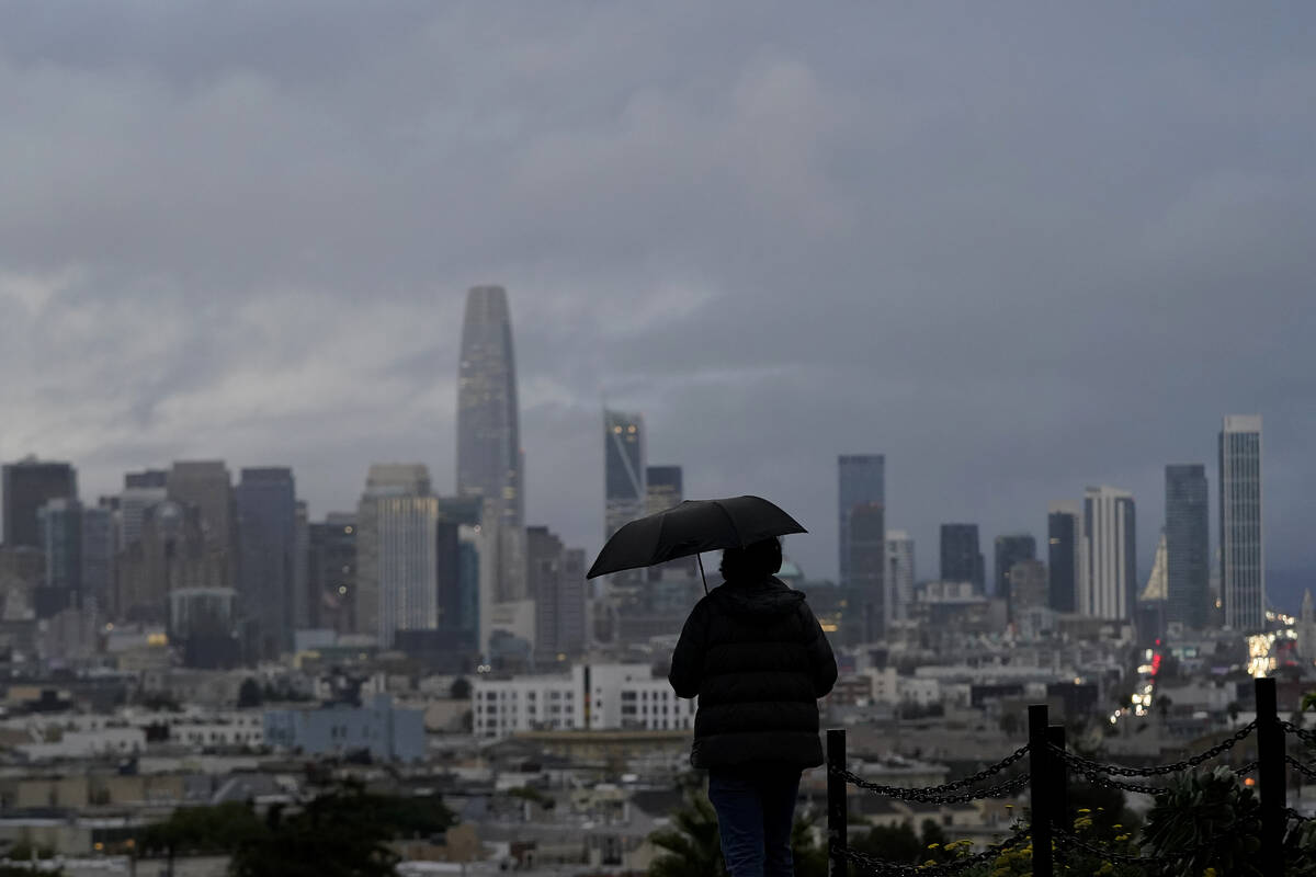
California prepares for week of storms, likely travel troubles
LOS ANGELES — Drought-stricken California is facing a week of heavy mountain snowfall and widespread rain from another series of the kind of storms that were not expected to be likely this fall and winter due to La Nina conditions in the Pacific Ocean.
Successive waves of precipitation moving into Northern California from Tuesday — the first day of winter — through Sunday afternoon will coat parts of the Sierra Nevada with 1 to 5 feet of snow and possibly up to 8 feet at some higher elevations, the National Weather Service said.
The mountain range, where ski resorts had struggled to open this fall, is already sporting glistening peaks after recent storms. The snowfall is important because the Sierra’s winter snowpack normally is a significant source of California’s water.
In October, the National Oceanic and Atmospheric Administration announced that a the Pacific Ocean was showing signs of a new La Nina, the flip side of the El Nino ocean-warming pattern, that tends to cause changes in weather worldwide.
Forecasters said much of California would have a 33% to 50% chance of below-normal precipitation, while only the state’s far northern tier had equal chances of above- or below-normal precipitation.
But the storm track has trended farther south than usual during La Ninas. After a series of mid-December tempests, California’s overall snow-water equivalent — a measurement of how much water is in the snowpack — jumped from 19% of normal to date on Dec. 10 to 76% of normal on Dec. 17, according to the latest U.S. Seasonal Drought Outlook.
Wet winter?
While the current wet trend is positive, it is too early to know if it will last through January and February. The snowpack normally doesn’t reach its maximum until April and last spring there was minimal runoff because much of the water was absorbed by the drought-parched landscape.
Forecasters noted that this week’s storms will also have potential for significant low-elevation snow, including over Interstate 5 north of Redding, the northern region where last week’s storms shut down the vital highway for nearly 24 hours.
Little break in snowfall is expected after Tuesday and major travel difficulties are anticipated the mountains, the weather service said.
“Gusty winds will further reduce visibilities during this event with local whiteout conditions possible,” forecasters said. “Holiday travelers should prepare for winter driving conditions by packing chains, warm winter clothes, and extra food and water.”
The wet weather pattern will begin to affect Southern California late this week.
The Los Angeles weather office said water vapor imagery over the Pacific shows an atmospheric river developing as moisture streamed from an area east of Hawaii.
Atmospheric rivers suck up water from the Pacific and dump it in the form of snow and rain when they arrive at the West Coast.
Rain and high-elevation snow will likely occur Wednesday through Thursday, followed by unsettled and showery weather through the weekend, forecasters said.


