
Northern Nevada bracing for blizzard, zero visibility


RENO — A Sierra snowstorm temporarily shut down part of Interstate 80 north and west of Lake Tahoe on Tuesday and forecasters warned worse weather was on its way, including possible blizzard conditions.
The Tahoe area is under a winter storm warning through 4 p.m. Thursday. The worst conditions were expected late Tuesday night and early Wednesday with gusts up to 85 mph (136 kph) over ridgetops and up to 2 feet (61 centimeters) of snow above elevations of 7,000 feet (2,130 meters).
“A period of blizzard conditions with zero visibility is possible,” the National Weather Service in Reno said.
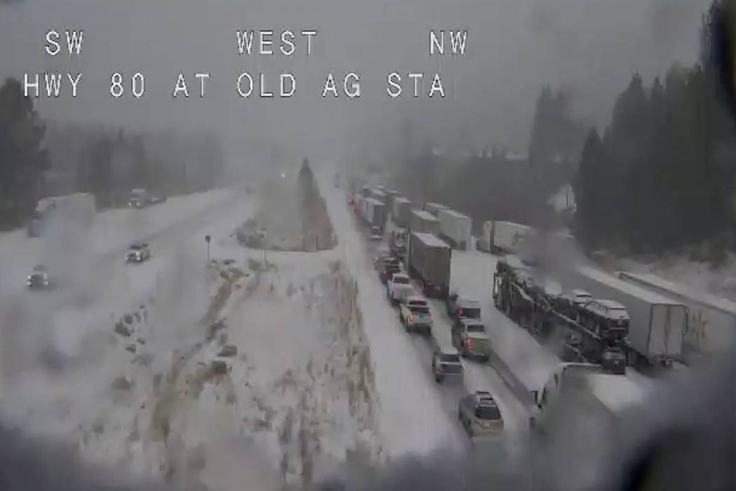
A 40-mile (64-kilometer) stretch of I-80 was closed in both directions over Donner Pass west of Truckee, California, for about five hours Tuesday before the eastbound lanes reopened about 5 p.m. and the westbound lanes followed about an hour later.
The California Highway Patrol said the closure was necessary so crews could clear the roadway after numerous collisions and spin outs. There were no immediate reports of any serious injuries.
Chains were required Tuesday night except four-wheel-drive vehicles with snow tires from the Nevada-California line to 3 miles (5 km) east of Gold Run, California.
A winter weather advisory continues until 4 p.m. Wednesday for the Reno and Carson City areas, where up to 5 inches (127 millimeters) of snow is expected with winds as high as 55 mph (88 kph).
In eastern Nevada, the weather service issued a winter storm warning effective from 4 a.m. Wednesday to 4 p.m. Friday for northeastern Nye County and White Pine County on the Utah line, where 6 to 10 inches (15 to 25 centimeters) of snow is possible. Winter weather advisories have been issued for parts of Elko, Lander, Eureka and Humboldt counties.


