
Flood danger: There’s a new app for that


One of the dumbest things I’ve ever done behind the wheel of a car occurred just outside Death Valley National Park in California many years ago.
A classic flash-flood rainstorm that only desert dwellers like us can appreciate was coming to an end, but lightning was still dancing across the peaks surrounding the area.
As I cleared the crest of a hill on a lonely state highway, I saw a creek that wasn’t on any map flowing across the pavement.
As a newcomer to the region, I wasn’t familiar with what a motorist is supposed to do when that happens. So, I blasted through the water.
Was I ever lucky.
Not only did my car safely hydroplane across the unexpected waterway to land, but I didn’t pitch out of control, hit a rock or anything else and the force of the flowing water didn’t push me downstream to a worse fate.
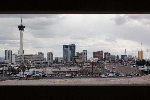
It was an extremely irresponsible move — just like the dozens that seem to occur regularly whenever the clouds dump most of Southern Nevada’s annual rainfall in an hour or less.
One year ago, when water cascaded down Kyle Canyon Road weeks after the Carpenter 1 fire on Mount Charleston, 18 swift-water rescues were made in one day. Fortunately, in the July 28 encore rainstorm performance, there was only one.
I like to think that people are getting smarter and taking warnings issued by the Clark County Regional Flood Control District more seriously and that the National Weather Service’s “Turn Around, Don’t Drown” campaign is sinking in.
Longtime Las Vegans know that in the past, the two worst places in town during a downpour were the Charleston Boulevard railroad overpass near Interstate 15 and the parking garage at the Quad, formerly the Imperial Palace.
Thanks to work by the Flood Control District, Southern Nevada’s streets are becoming more manageable when the monsoon season turns local roads into waterways.
After last week’s deluge, I asked Kelsey Hand, a spokeswoman for the district, how flood-control projects under construction had weathered the latest storms.
Just about everyone living in northwest Las Vegas was concerned that all the work that had been done on flood mitigation in the vicinity of Grand Teton Drive and U.S. Highway 95 had been ruined by flooding, especially after all the reports about access issues in the Rainbow neighborhood of Mount Charleston.
But Hand said everything worked as planned. The only problem is that the project isn’t done yet.
“There was someone in a helicopter flying over the area who said all the water flowed into the underground pipes west of Highway 95, just as designed,” she said.
But east of U.S. 95, not so much. Flood control pipelines have yet to be built east of the highway so there’s still street flooding in those neighborhoods. Work isn’t expected to be completed until next year.
Hand said many people apparently don’t realize that streets are a part of the flood-relief network — they’re supposed to carry water.
“Streets are built to slope toward the curb so that water flows to the gutters before finding its way to the pipeline and channel system,” she said.
So that means some streets will continue to be waterways — hopefully creeks and streams and not rivers — whenever it rains hard in a localized area.
Hand said it will continue to be a characteristic of our desert environment.
The worst locations for potential flooded streets is anywhere that sporadic development is occurring.
Hand said when there are neighborhoods under construction and vacant lots between development, there’s going to be a potential for flooded streets.
But there is a way to check on flooding before you get into your car.
About a year ago, the Flood Control District unveiled a smartphone app called Flood Spot. It’s available for free through the Apple App Store and the Android Play Store.
The key feature of the app is a real-time traffic map of the Las Vegas Valley that identifies locations of flooded streets for motorists to avoid.
In a year, there have been 3,000 downloads of Flood Spot; on the Monday of our most recent street flooding, 200 were downloaded.
The app has an interactive side to help the Flood Control District.
A tab called “Report Flood” enables a motorist to photograph abundant water on the street with comments to the district so that it can consider fixes to the current system.
The app also stores flood facts, safety tips, the current weather forecast, information on flood insurance and details on keeping harmful substances out of flood channels since all water eventually flows into our drinking water supply of Lake Mead.
Get it. It’s a free and easy download.
If I would have had it years ago, I probably wouldn’t have tried crossing the flowing water in Death Valley.
Questions and comments should be sent to roadwarrior@reviewjournal.com. Please include your phone number. Follow the Road Warrior on Twitter @RJroadwarrior.
ROAD WORK AHEAD
■ The Grier ramp from Sunset Road to the Airport Spur Connector closed through noon Sunday to repair flood damage.
■ Lane closures and restrictions planned on Harmon Avenue west of Las Vegas Boulevard near Aria, Monday through Friday from midnight to 10 a.m. Eastbound traffic on Harmon will not be able to access Las Vegas Boulevard during those hours.
■ Onramp to southbound Interstate 15 at D Street/Washington Avenue closed through the summer. Closures planned in the D Street and Washington Avenue ramps from 8 p.m. to 5 a.m., Sunday through Wednesday.
■ Traffic diverted to a single lane on Fort Apache Road between Elkhorn Road and the 215 Beltway beginning Monday. The 1-mile project will continue a block at a time from 7 a.m. to 4 p.m. through mid-November.
■ Traffic altered on Flamingo Road between Grand Canyon Drive and Jimmy Durante Boulevard through Sept. 12 for a two-year project to relocate utilities, add transit lanes and shelters, upgrade signals and improve pedestrian crossings on Flamingo.
■ Traffic delays on Lake Mead Boulevard between Hill Center and Rancho drives through mid-August.
■ Sahara Avenue near Sloan Lane closed over Desert Rose Golf Course through September.
■ One-lane closures on Kyle Canyon Road from mile marker 15 to mile marker 21 through summer.
■ Disruptions on Interstate 15 near Silverado Ranch Road and St. Rose Parkway through fall.
■ Intermittent lane closures on Rancho Drive between Sahara Avenue and Rainbow Boulevard through November.
■ Eastbound lanes on Rue de Monte Carlo near Las Vegas Boulevard South closed through Dec. 31.
■ Intermittent lane closures planned on Whitney Ranch Drive from Russell Road to Arroyo Grande Boulevard through December.
■ Intermittent lane closures planned on Eastern Avenue from Coronado Center Drive to Silverado Ranch Boulevard in Henderson through December.
■ Intermittent lane closures planned on Warm Springs Road from Arroyo Grande Boulevard to Boulder Highway in Henderson through December.
■ Traffic delays likely on 26 miles of northbound and southbound Interstate 15 between mileposts 69 and 95 through early 2015.
■ Lane closures on Main Street to turn Main and Commerce streets into one-way pairs through the end of 2015.
■ Lane restrictions on Rainbow Boulevard from Ann Road to Tropical Parkway through end of year.
■ Lane restrictions on Grand Teton Drive between Durango Drive and Rainbow Boulevard through May 2015.
GASOLINE PRICES
The average gasoline price Friday in the Las Vegas Valley was $3.74 per gallon. It was $3.78 in Nevada. The national average of $3.47 is down 4 cents from a week ago, down 19 cents from a month ago and down 12 cents from a year ago.
Las Vegas Review-Journal


