
Traffic light signals have Las Vegas Valley motorists seeing red
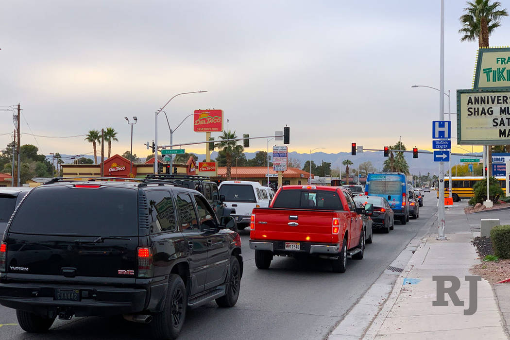


Las Vegas Valley drivers are seeing red, judging by the emails sent to the Road Warrior’s inbox each week.
Motorists want to know what’s up with traffic signal timing and why they’re stuck at certain traffic lights for so long.
The timing of traffic signals across the valley is pre-programmed based on various factors, according to Christine Lu, Regional Transportation Commission of Southern Nevada spokeswoman.
The time of day, the day of the week and travel demand at intersection locations are all factors in light timing, which may adjust because of the following factors:
■ Sensors (video detection, magnetic loops in the pavement or infrared technology) detect vehicle flow and can expedite a green light for opposing traffic.
■ Pedestrian activity. For example, a pedestrian crossing Flamingo Road will extend the green light on the side street (such as Lindell Road) to allow for the pedestrian to cross safely.
■ Public-sector emergency response vehicles like fire trucks and police vehicles have special equipment that speaks to traffic signals, enabling those lights to turn green for the safety of everyone on the roadway.
John L., a Henderson resident and California transplant, wonders why he was waiting so long for a green light on a stretch of St. Rose Parkway.
He said he was fed up with signals at St. Rose Parkway and Las Vegas Boulevard and on Eastern Avenue after he returns from California in the late-night hours.
“I return usually about midnight or 1 a.m. and the traffic signals are still timed for what I assume is regular traffic hours,” he said in an email. “It is not uncommon to sit for 30 to 45 seconds and see no traffic moving through these intersections while waiting for a green light.”
The RTC said many valley traffic signals operate based on vehicle detection overnight from midnight to 5 a.m.
One of the traffic signals in question, at St. Rose Parkway and Las Vegas Boulevard, was recently adjusted for a construction project. That had extended the northbound light at that intersection, the RTC said. That traffic plan has been removed, so motorists should see improved traffic signal timing in the area.
Commuters with traffic light concerns can report those directly to the RTC via Waze, the traffic-navigation app. The app is available for free download in the iTunes app and Google Play stores.
New I-515 to the 215 Beltway configuration
The way motorists travel on Interstate 515 to the 215 Beltway westbound in Henderson will change starting this week, according to the Nevada Department of Transportation.
The changes are the result of a three-month restriping project aimed at improving safety and reducing the heavy congestion that occurs during peak traffic hours and is caused by motorists entering I-515 from Auto Show Drive and entering the 215 Beltway at Gibson Road to a single exit-only lane.
Motorists will now exit I-515 at Lake Mead Parkway, just north of Auto Show Drive, where two lanes, separated by barrier walls, will lead them to the 215 Beltway westbound.
Those who exit toward Lake Mead Parkway will see the onramp reduced from two lanes to one, with access to the Gibson Road offramp eliminated, NDOT said.
Signs will be in place as the new configuration opens to traffic to allow motorists to adjust to the new route.
Neon to Nature app
Local officials want to remind Southern Nevada residents who enjoy the thousands of miles of trails in the valley that there’s an app for that.
The Neon to Nature app provides details of where residents can bike, walk or play around the valley, with options for pedestrians and cyclists of all ranges.
“It highlights all the trails throughout the entire valley,” said Johanna Murphy, principal planner for North Las Vegas. “Potential trail users can go to the app and look at the type of walking and cycling experiences they would have. If you’re more experienced with our trails, you can use the app to find new trails to explore other than those within (your) own neighborhoods.”
Each trail listing includes info, photos and a detailed map with the trail’s location, length and other features.
The app is available free in the iTunes app and Google Play stores.
Escape. Explore. Enjoy.
Questions and comments should be sent to roadwarrior@reviewjournal.com. Please include your phone number. Follow @RJroadwarrior on Twitter. Contact Mick Akers at makers@reviewjournal.com or 702-387-2920. Follow @mickakers on Twitter.


