
Exploring Death Valley’s lesser-known areas


Day trippers ready to move beyond Death Valley’s greatest hits should consider less popular tracts like the national park’s sand dunes, badlands and Star Wars backdrops.
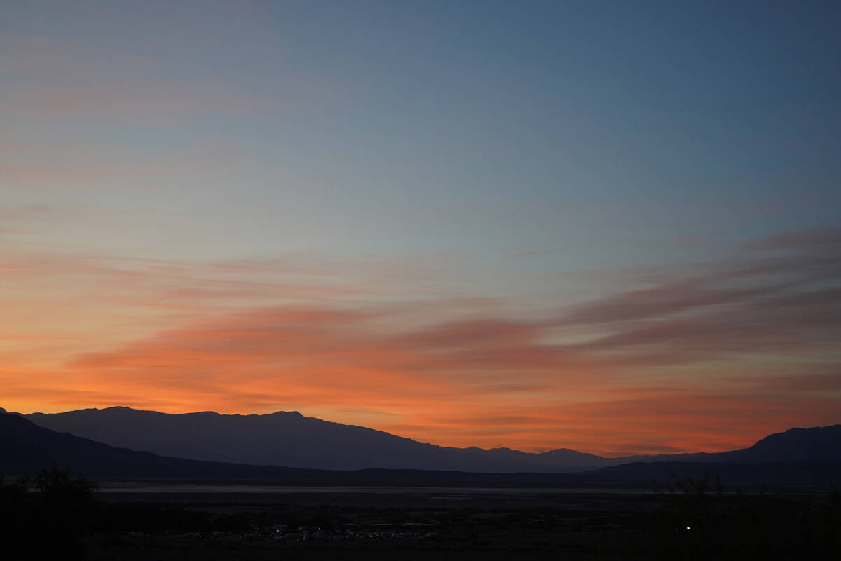
This geologic wonderland, about two hours from Las Vegas, is larger than any other national park in the Lower 48. Death Valley has enough adventure potential to keep hikers on their feet for several weekends in a row, especially now that jacket weather has again made desert wandering a pleasure.
National Park Service managers recently reopened the busiest stretch of Badwater Road south to Badwater Basin after damage from flooding in September and November cut off access to the popular spot where tourists get to walk on a path that’s 282 feet below sea level. Several other park routes and the continuation of Badwater Road farther south remain closed because of flood damage. Access to the much-admired Artists Drive is not expected to reopen until February. However, the park’s main road, California Route 190, remains open, so visitors can still reach lesser-known Badlands hiking trails beneath Zabriskie Point and meander through Mesquite Flat Sand Dunes.
Check for updated road conditions and park advisories on Death Valley National Park’s website, nps.gov/deva. Officials advise caution and urge visitors to avoid driving through areas affected by the flooding.
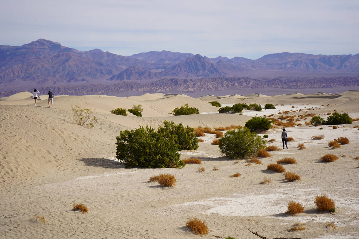
Zabriskie Point, Badwater Basin and the Furnace Creek visitor center are extremely popular stops for first-timers and multiple-timers showing off the park to visiting family and friends. Each of those iconic spots stands out for its beauty and peculiarity (Badwater Basin is the lowest point in North America). But if you’ve been there and done that, it’s worth driving an extra half-hour northwest on California Route 190 to explore Mesquite Flat Sand Dunes.
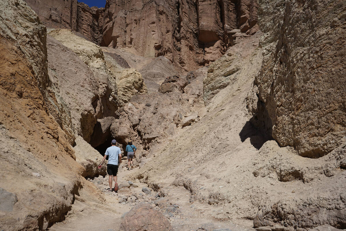
It’s also worthwhile to cast Zabriskie Point in a different role. Instead of simply using the crowded perch to take in one of Death Valley’s most spectacular views, hikers can use the park’s overlook for strategy and inspiration as they scout out how many challenging miles beneath Zabriskie Point they’d like to spend in the labyrinth of Golden Canyon, Gower Gulch, Badlands and Red Cathedral.
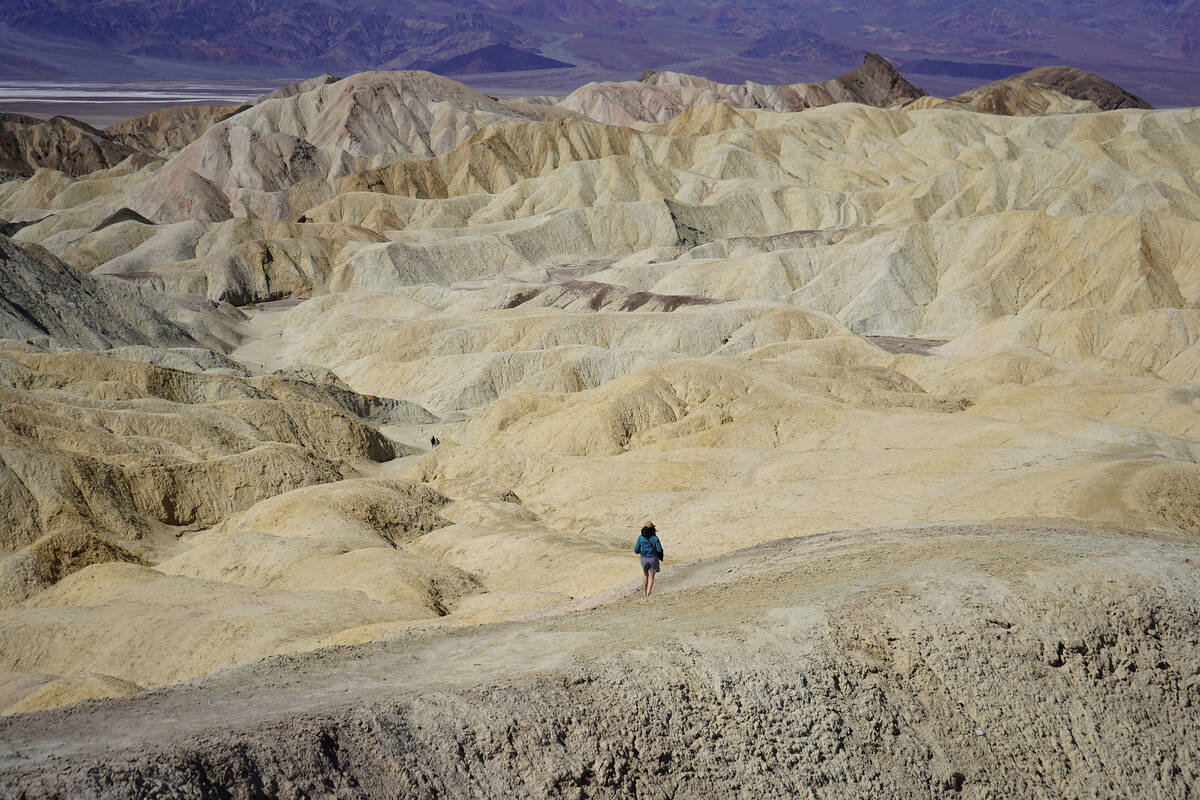
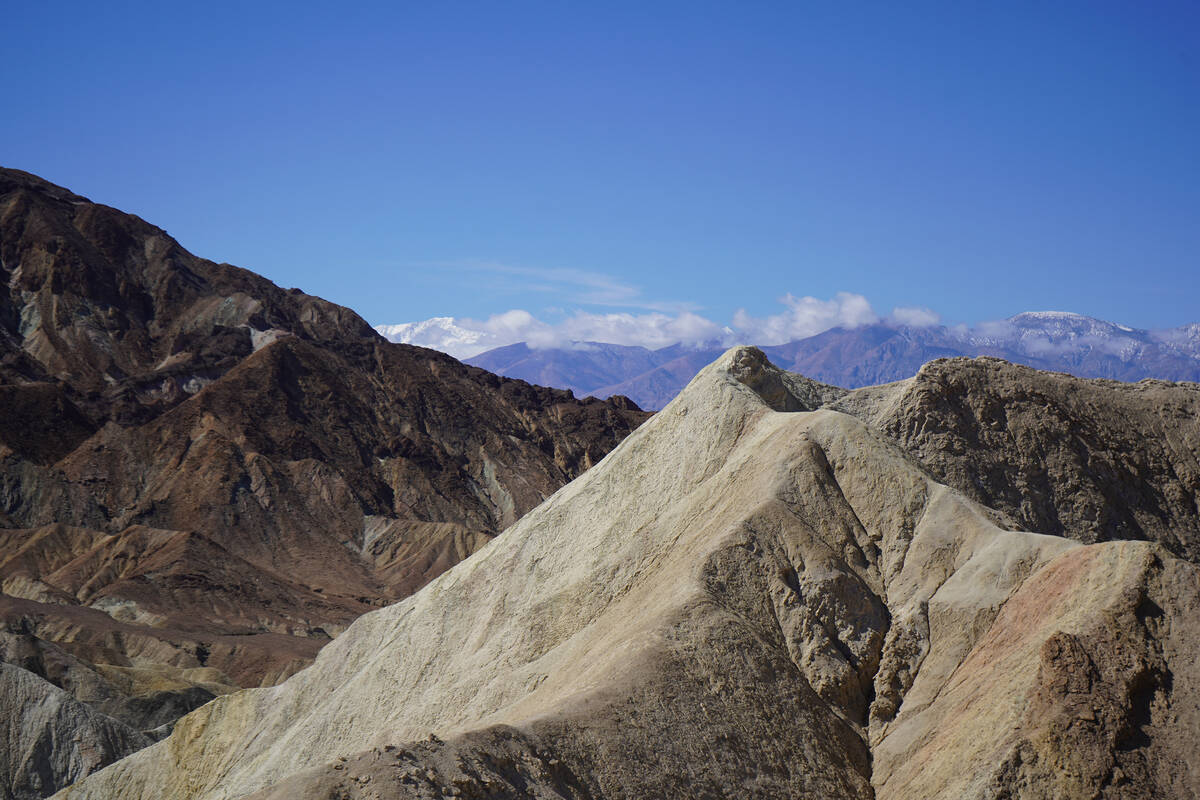
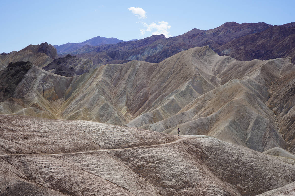
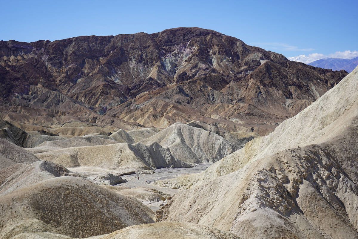
A short hike, or a strenuous slog? There are several variations when it comes to hiking these hills and canyons composed of ancient lakebed and colored in gold, chocolate, purple, red, black and cream that magically light up in the late-afternoon sun.
Bonus: This area’s wrinkled, multi-hued landscape and the ever-shifting Mesquite Flat Sand Dunes were backdrops for scenes from Luke Skywalker’s home planet of Tatooine in the original “Star Wars” and “Return of the Jedi.” In the popular films, C-3PO ambles through the dune field in search of R2-D2. In lower Golden Canyon, R2-D2 gets captured and carried away by Jawas.
Today’s visitors won’t see abandoned “Star Wars” sets or informative panels describing action on Tatooine, but it’s easy for movie fans to imagine those scenes and to tap into a “Star Wars”-specific audio tour available for download on the National Park Service app.
Badlands, Red Cathedral, Gower Gulch, Golden Canyon
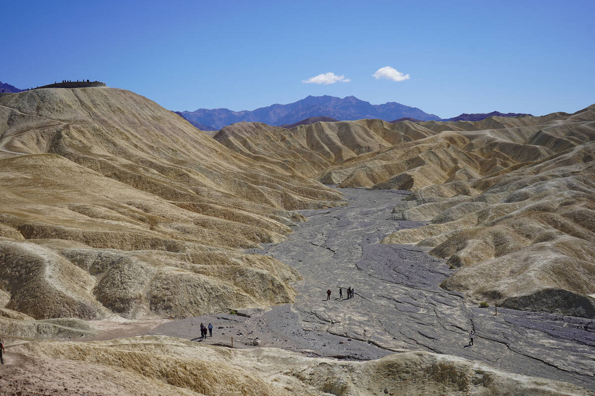
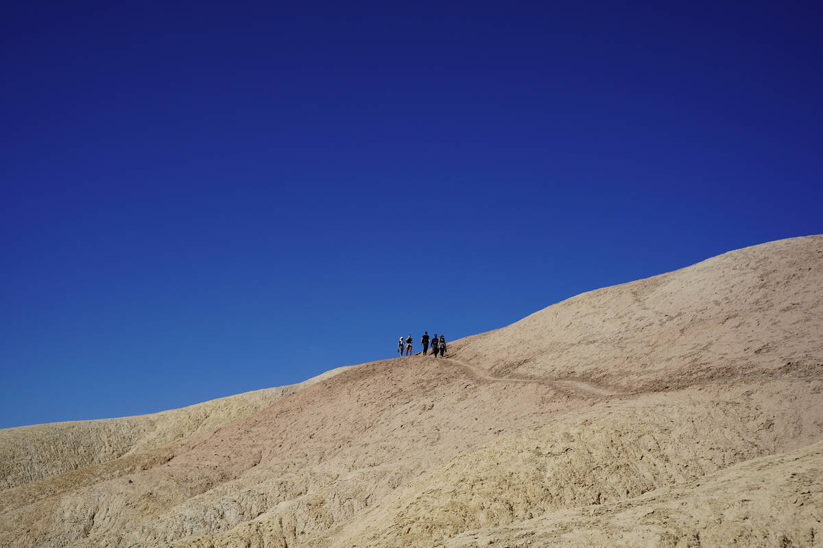
After traveling from Las Vegas through Pahrump to Death Valley’s east entrance, visitors will continue on California Route 190 to the frequently jam-packed Zabriskie Point parking lot. Climbing a paved path from the parking lot up to Zabriskie Point, hikers will be rewarded with an overview of the Badlands Loop and Gower Gulch. They will be able to spy other walkers making their way through washes and over hills. From there, hikers will head downhill and begin traversing challenging routes that require careful footing, no matter how many miles are logged. Parts of the trails are narrow, steep and cut into the hillside.
The choice of routes depends upon hikers’ desired activity levels. If hikers follow part of the Badlands Loop down and toward the right to reach Golden Canyon with a side trip that leads to the 400-foot-tall walls of Red Cathedral, they will have walked about 3½ miles; a grueling uphill return trip to Zabriskie Point adds another 3 miles for a trip total of about 6½ miles. A shorter hike might have a turnaround point near the base of Manly Beacon, which looks like a giant striped shark fin prominent in so many stunning photographs taken from Zabriskie Point. That round trip would total about 3 miles and still pose a challenge because of the uphill return.
Some hikers might choose a different route back to Zabriskie Point via Gower Gulch for a trip totaling at least 6½ miles. Visitors in larger groups can park one car at Golden Canyon parking lot and another at Zabriskie Point to start on one end and finish at the other, cutting the mileage in half. Here’s a map of the area, which hikers should have on hand.
Mesquite Flat Sand Dunes
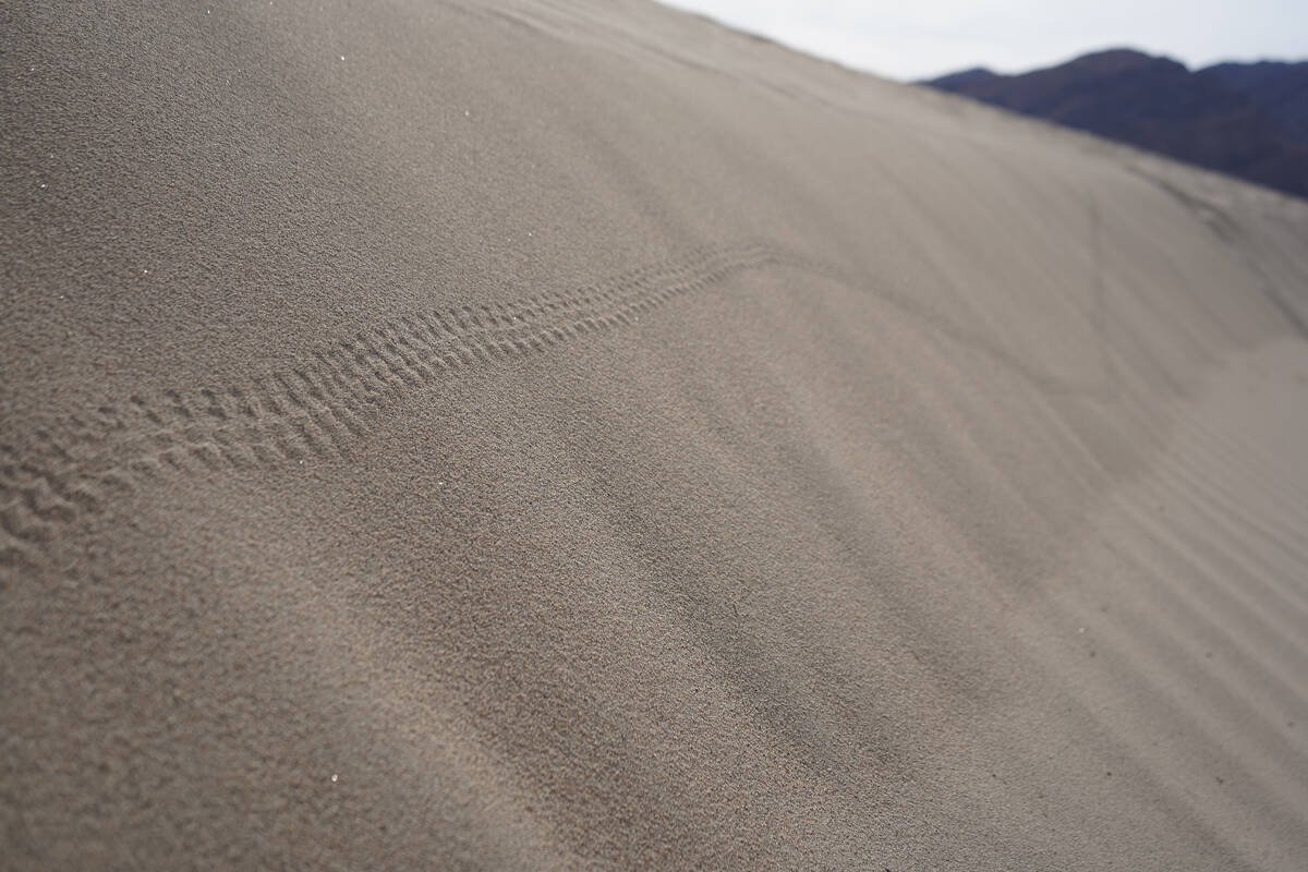
Follow California Route 190 beyond Furnace Creek, the park’s most reliable source of food and gas. Travel a half-hour west toward Stovepipe Wells. The dunes will become visible before travelers arrive at a large parking lot with informational panels describing the scenery, geology and remarkable adaptations of mostly nighttime critters — sidewinder rattlesnakes, desert iguanas, beetles and kangaroo rats — surviving in the country’s hottest and driest environment.
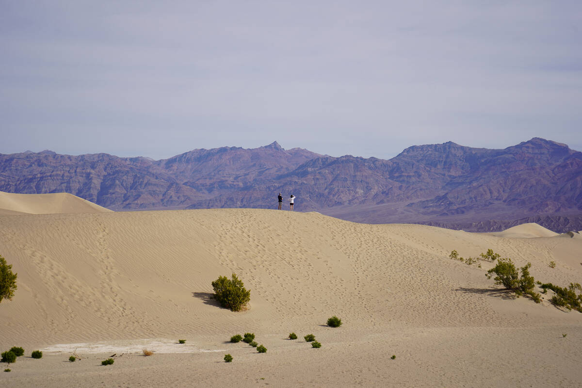
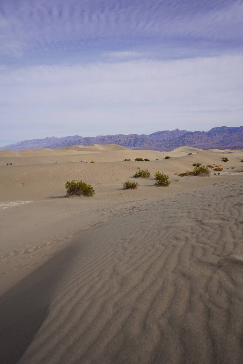
Death Valley’s largest dune field sits between the Panamint and Amargosa mountain ranges. The mesquite-studded dunes remain standing yet shifting because of a combination of erosion’s massive donation of sand, plentiful winds and surrounding mountains that keep the sand corralled in the valley.
There are no official trails at Mesquite Flat Sand Dunes. Rather, visitors wander where they wish, often toward some of the taller dunes or in the wake of other walkers. A mile out and a mile back is enough distance to feel an admiration for the dunes, surrounding mountains and big skies.
Sunrise is the best time of day to see sand patterns undisturbed by human foot traffic and to glimpse the tracks of night-crawling insects, reptiles and mammals. Sunrise and sunset offer the greatest shadows for dramatic photographs. Ripples, curls and edges in the sand are sculpted by the wind.
Keep in mind there’s little reprieve from the sun and limited cellphone service in the dune field, on badlands trails and in most of the rest of the park. No matter the season, bring plenty of water, food and sunscreen to Death Valley National Park.


