
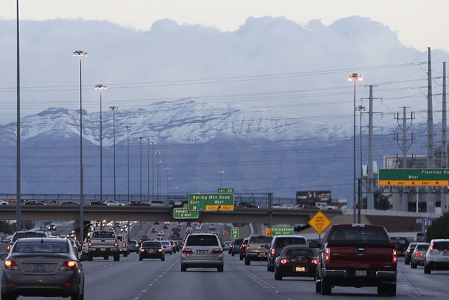
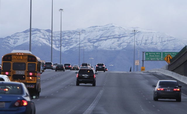
Las Vegas Valley to start drying out Tuesday


The last of the three-part storm system that invaded the Las Vegas Valley starting Thursday will trickle out Monday evening, the National Weather Service said.
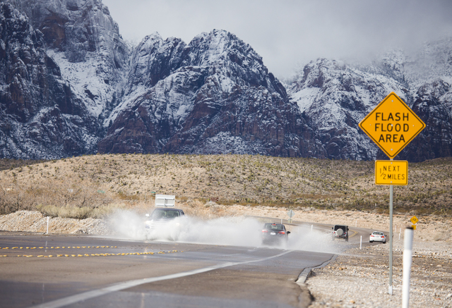
Lee Canyon turned visitors away Monday because of the recent heavy snowfall and extreme weather but plans to reopen Tuesday, Lee Canyon spokeswoman Leslie Salguero said. Heavy snowfall and strong winds over the past four days caused problems with the canyon’s electrical systems.
The last 12 days brought more than 80 inches of snowfall to Lee Canyon, Salguero said. The area had not seen this much snow accumulation in a 12-day system in 12 years.
All day Monday, crews worked to remove the snow, she said. Ski patrol focused on avalanche control. Their efforts should allow visitors back in again Tuesday.
In the Las Vegas Valley, the chance of rain should decrease to 10 percent by Tuesday morning, the National Weather Service said. During the three-storm series, most of the valley saw around an inch of rain.
The valley should remain dry and mostly through the rest of the week, the Weather Service said.
Tuesday’s temperature high will reach about 50 degrees; Wednesday’s forecast high is 49 degrees. Forecast highs for the week should linger in the low to mid-50s, but nighttime lows will hover near freezing. Monday night will dip to 37 degrees, the Weather Service said.
Contact Rio Lacanlale at rlacanlale@reviewjournal.com or at 702-383-0381. Follow @riolacanlale on Twitter.


