Utah’s Capitol Reef home to orchards, spectacular landscapes
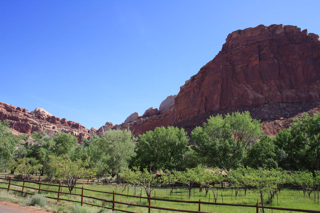
Southern Utah’s Capitol Reef National Park is probably best known for its main geological feature, the Waterpocket Fold, a wrinkle in the Earth that extends nearly 100 miles.
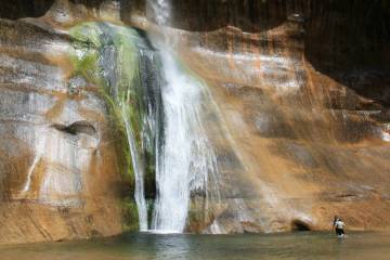
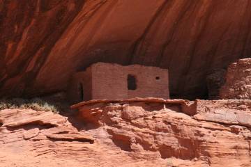
But the park also boasts wonderful hiking opportunities on about 150 miles of trails that access slot canyons, natural arches, bridges and petroglyphs.
Elevations in the park range from 3,800 to 8,200 feet, but the hub of the park, Fruita, is located at around 5,500 feet.
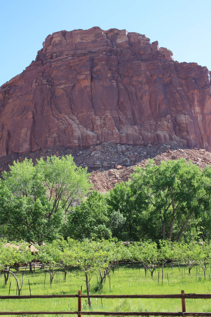
Many people are surprised to discover the park is also home to the largest holdings of fruit and nut orchards in the National Park Service.
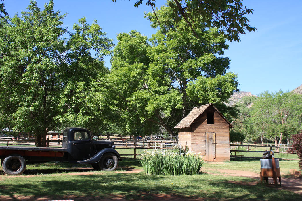
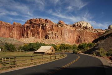
Thank the pioneers who settled Fruita in the early 1880s, taking advantage of the Fremont River to irrigate their fruit and nut tree orchards. They used the orchards’ bounty not only in their own homes but for bartering and as cash crops.
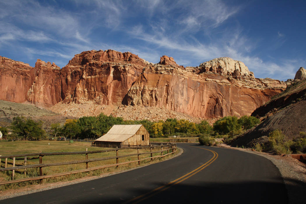
First-time visitors might want to start with the seven-mile scenic drive that travels south from the visitor center. The road takes you by the Gifford Homestead, worth a stop just for the homemade ice cream and fruit pies. After that, the road travels along the Waterpocket Fold down to the Capitol Gorge Trail.
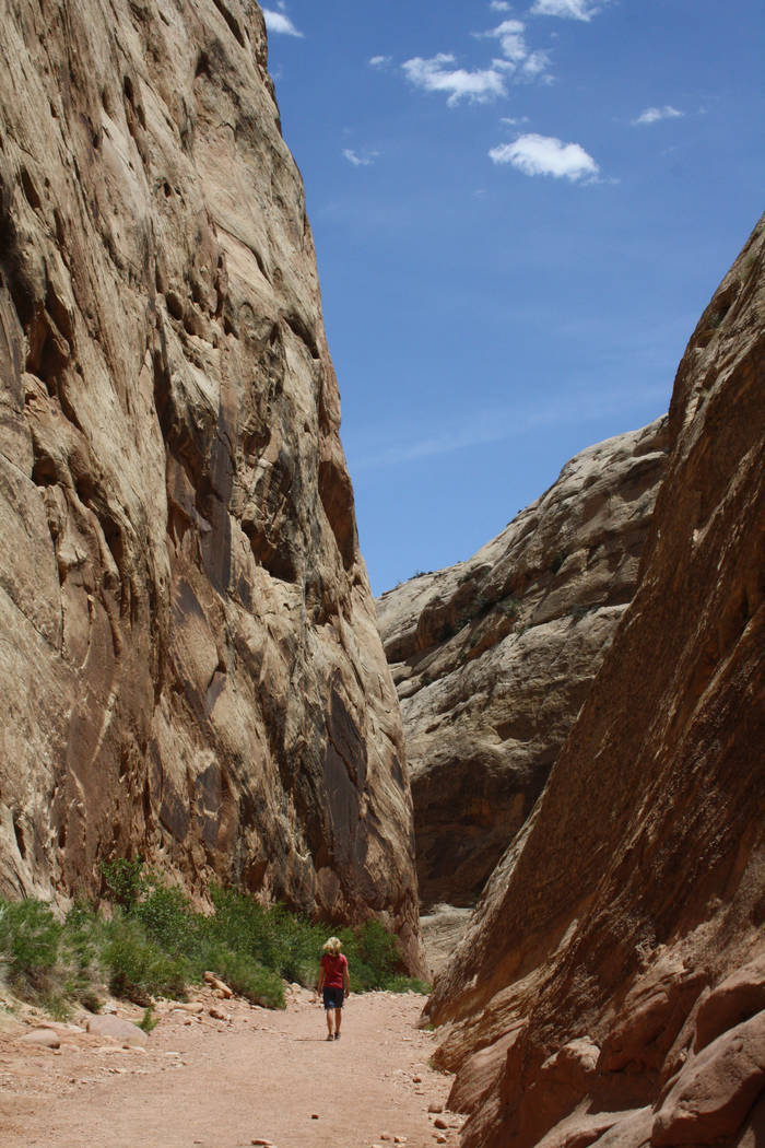
This easy trail was the main east-west road until 1962, when Utah Route 24 was constructed. The trail is about two miles round-trip and travels through a sandstone canyon with prehistoric and historic inscriptions and many natural tanks and water pockets.
Another fine trail is the 1.8-mile round-trip Hickaman Bridge Trail, which leads past petroglyphs and then up to the 133-foot natural stone bridge. Then there’s the Fremont River Trail, a 2.6-mile, moderately strenuous round-trip with great views of the Waterpocket Fold.
There are some 3,100 fruit and nut trees, including favorites such as peach, cherry, apricot, plum, pear and apple. From now until mid-October, various trees will either be in spectacular bloom or ready to harvest.
Visitors can benefit from the bounty for a small fee and a little hand-picking. This is all made easier with ladders, hand-picking tools and self-serve pay stations. While you’re in the orchards, feel free to eat as much as you want.
Of course Mother Nature doesn’t adhere to a firm timeline, but here are some expected harvest dates: cherries, the first to second week of June through early July; apricots, from late June through the third week of July; pears and peaches, from early August through early September; and apples, from early September through Mid-October.
For more information on the park and updated harvest dates, call 435-425-3791 or visit nps.gov/care.
If you go
Directions: There are many routes to Capitol Reef, but if you have the time, this one is the most scenic. From Las Vegas take Interstate 15 north and drive 162 miles to exit 57: Cedar City, Utah. Go north on Utah Route 14 for about 2 miles to historic Main Street. Go right to continue on Route 14 and drive about 40 miles. Go left onto U.S. 89 for about 20 miles and go right onto Scenic Byway 12. Follow 124 miles to Torrey, then go right on state Route 24 and drive 8 miles to the visitor center.
What to pack: Average daily high temperatures in May and June are in the high 70s and low 80s, with nights dipping down into the 40s and 50s. Dress in layers for the cool mornings, bring a hat, sunscreen, hiking boots or sneakers with good tread. Bring a few dollars for self-serve fruit picking.
Length of stay: Plan on at least two nights camping or in nearby lodging. Find more information at recreation.gov or capitolreef.org. Restaurants, cafes, a market and gas stations can be found in Torrey, eight miles west of the park.


