
Thunderstorms expected through Thursday in Las Vegas Valley

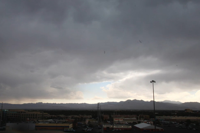
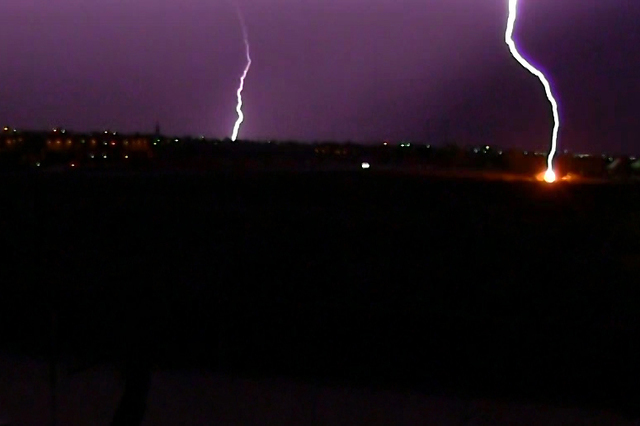
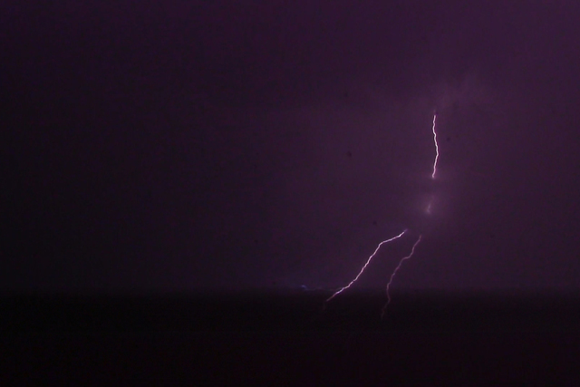


Thunderstorms are expected in the Las Vegas Valley on Wednesday and Thursday and a flash-flood watch is in effect, the National Weather Service said.
The flash-flood watch expires at 5 a.m. Friday, the weather service said.
Wednesday had 1.5 inches of “precipitable water,” the moisture available to make rain, National Weather Service meteorologist Caleb Steele said.
“It would be like the atmosphere was a sponge and if you squeezed it out, it would make an inch and a half of water in a glass,” Steele said.
Storms developing in the Spring Mountains and Sheep Range, near Mountain Pass and the Mojave National Preserve, pose a risk of flash flooding Wednesday, the weather service said on Twitter. When storms reach the valley, about 2 inches of rain an hour can be expected, officials said.
Additional storms from Utah and Arizona are expected to move into southeast Nevada on Wednesday afternoon and evening, bringing heavy rainfall, the weather service said.
Wednesday’s high was 106 degrees; its low was 85 degrees, according to the weather service.
Thursday’s forecast high is 99 degrees and the forecast low is 83 degrees, which is about 5 degrees below normal, National Weather Service meteorologist Stan Czyzyk said. The chance for thunderstorms increases to 50 percent during the day Thursday.
Drier air is expected to move into the valley Friday, when a 103-degree high is forecast, Czyzyk said.
Contact Lawren Linehan at llinehan@reviewjournal.com or at 702-383-0381. Find @lawrenlinehan on Twitter.


