I-11 footprint to grow in Southern Nevada


Interstate 11’s official footprint is about to get larger in the Las Vegas Valley.
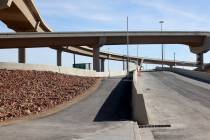
Originally designated as 15 miles of freeway when a $318 million project was completed in 2018, which runs between the Nevada-Arizona border to near the Henderson Interchange, I-11 signage soon will be added to the stretch of U.S. Highway 95 running from the Henderson Interchange to Kyle Canyon Road northwest of Las Vegas.
That equals to roughly 30½ miles of highway from the Nevada-Arizona border to Kyle Canyon, according to NDOT director Tracy Larkin Thomason.
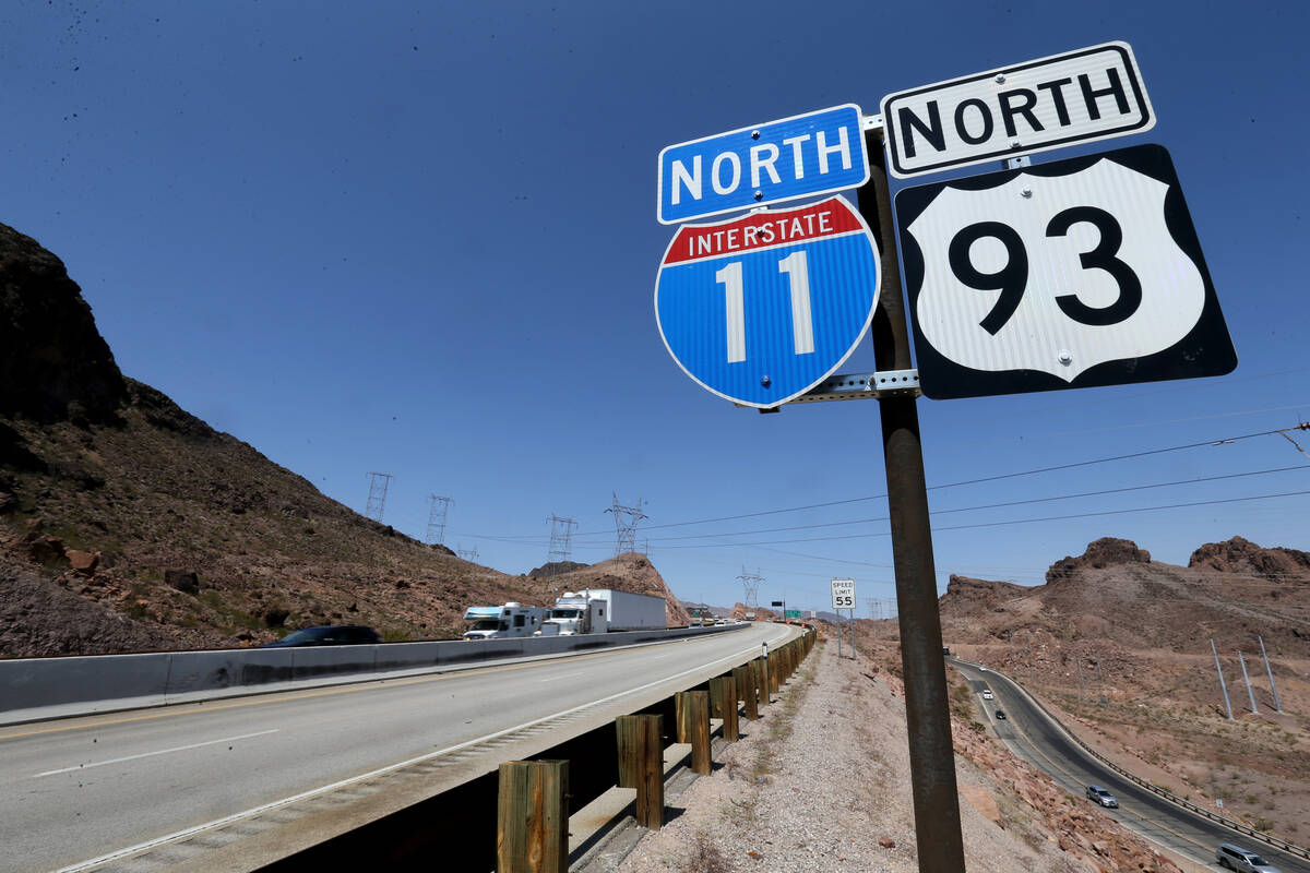
Signage installation is expected to occur sometime next year. The stretch has many designations including U.S. Highway 95, U.S Highway 93 and Interstate 515. The I-515 designation will be no more once the I-11 signage is installed, but the U.S. 95 and 93 ones will remain, according to Justin Hopkins, NDOT spokesman.
The next segment planned to be designated part of I-11 is U.S. 95 from Kyle Canyon to Mercury. A virtual public hearing regarding the feasibility study for that area wraps up Friday.
“This is where we look at potential alternatives on how we actually bring it up to standards there,” Thomason said last week during the NDOT Board of Directors meeting. “Also we have to get control of access along the property boundaries.”
To bring that stretch of U.S. 95 to interstate code, any at-grade on-and-off-ramps must be reconstructed to have what will be I-11 below the ramps, according to Hopkins.
The U.S. 95 alternative was chosen over another option that would have used a portion of the 215 Beltway from the Henderson Interchange to the northwest Las Vegas Valley.
Ultimately, I-11 is planned to connect Las Vegas and Phoenix, with a larger goal of the interstate running between Mexico and Canada.
There is no timeline to when those plans might come to fruition. Phoenix has been determining where I-11 will run in the Grand Canyon State.
The I-11 Tier 1 Environmental Impact Statement from Nogales to Wickenburg was completed in Nov. 2021, with the record of decision from that establishing the selected corridor, which is 2,000 feet wide, according to the Arizona Department of Transportation.
Subsequent Tier 2 environmental studies would narrow the corridor down to 400-foot-wide alignments, or routes. A Tier 2 EIS has been programmed for study from Buckeye to Wickenburg.
“There is no projected start date for that study at this time,” according to Laura Douglas, public information officer for the Arizona Department of Transportation. “A The 400-foot wide alignment will be refined from the initial 2,000-foot wide corridor. The Tier 2 study, once it begins, is expected to last approximately three years.”
The funding for the design and construction of I-11 in Arizona has yet to be identified, according to Douglas.
Contact Mick Akers at makers@reviewjournal.com or 702-387-2920. Follow @mickakers on X. Send questions and comments to roadwarrior@reviewjournal.com.