
Heavier bursts of rainfall and thunderstorm risk for Las Vegas Valley

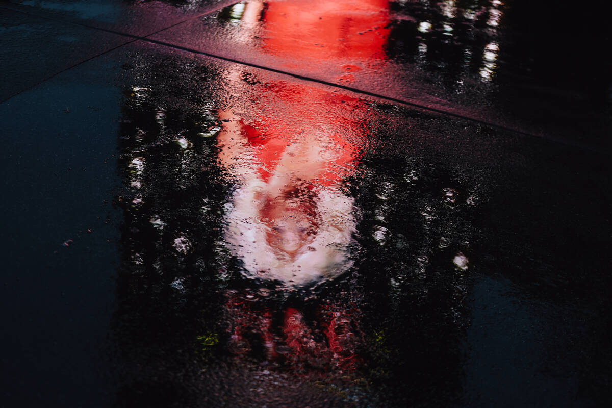

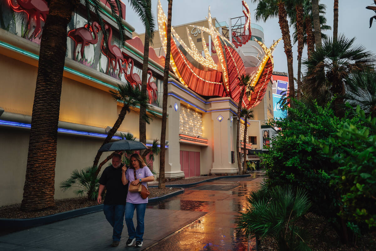
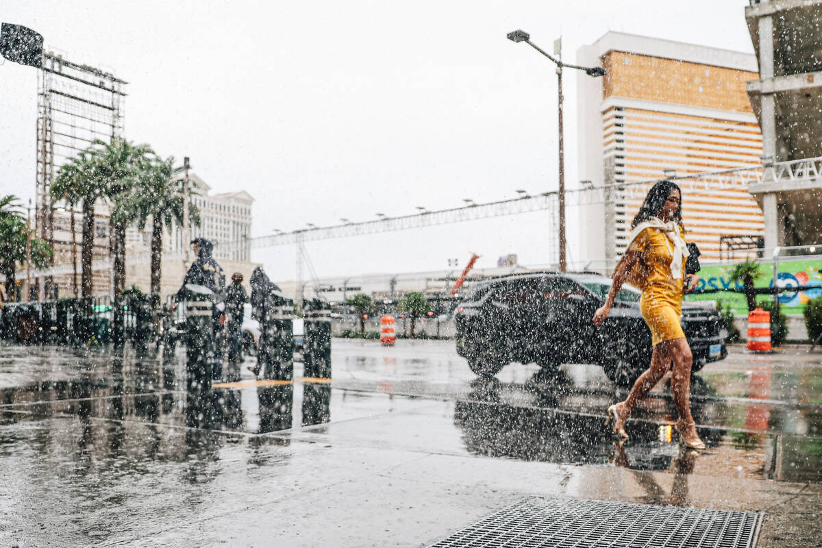

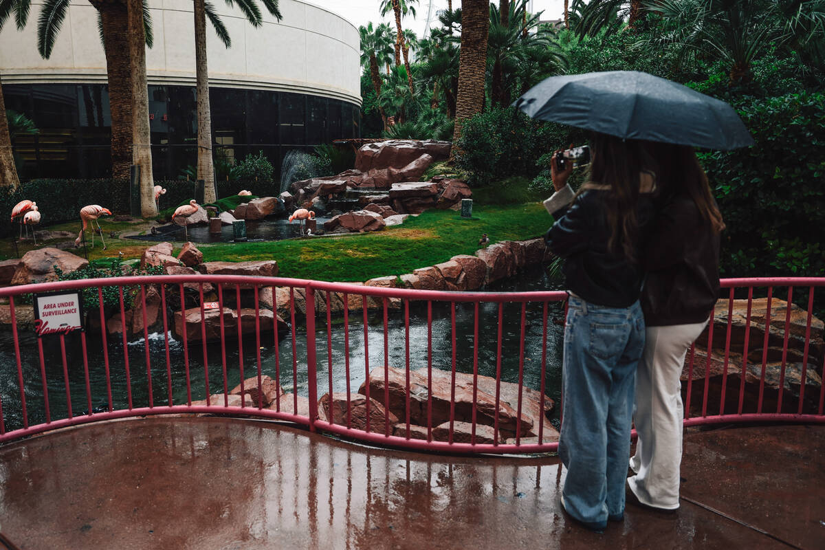
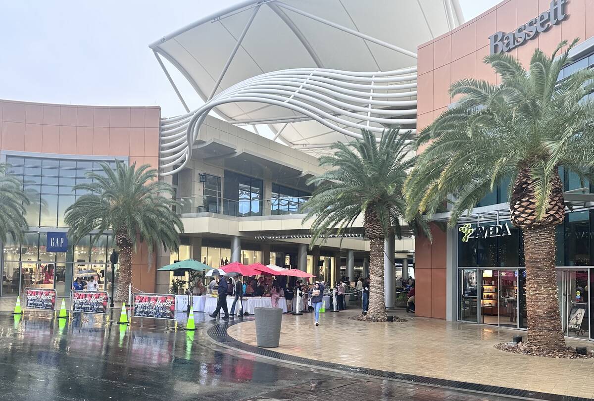
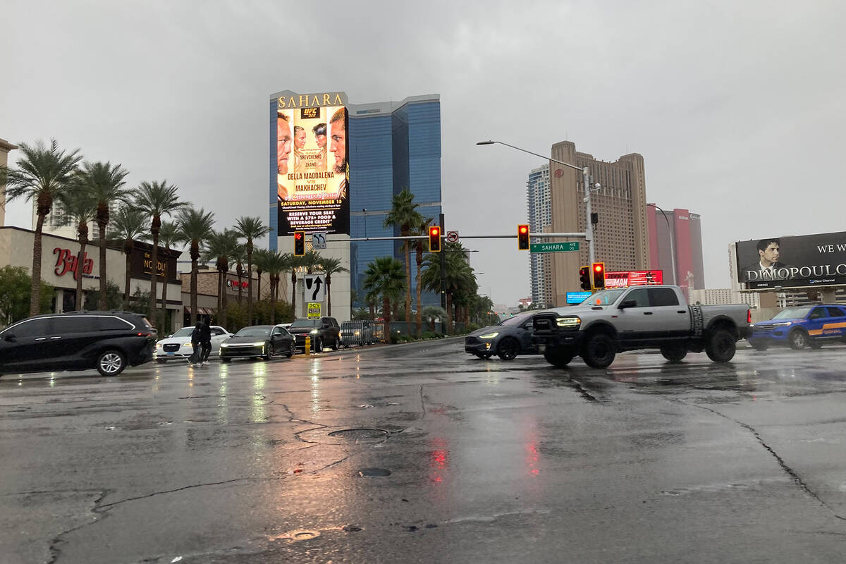
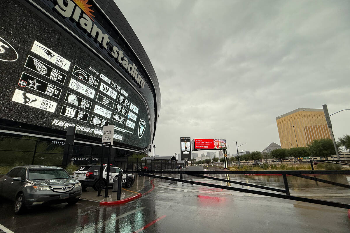


Rain has already begun in the Las Vegas Valley as the National Weather Service forecasts heavier bursts and the possibility of thunderstorms before 11 p.m. The weather service said rainfall rates will increase as the storm system settles over Southern Nevada, raising the risk of localized flooding and hazardous driving conditions.
Early rainfall totals across the valley vary widely, according to the Clark County Flood Control District gauges. Most of the valley is seeing 0.12 to 0.20 inches of rain, with slightly higher amounts of 0.24 to 0.28 inches in parts of Summerlin, Spring Valley and the southwest. The west valley has seen the most significant early totals, including 0.25 to 0.41 inches near Calico Basin and over half an inch at Red Rock Canyon. Rainfall in Henderson is lower, generally between 0.08 to 0.16 inches. The NWS said, in a post to X Saturday evening, that Harry Reid International Airport had logged half an inch of rain, approaching the daily record of 0.52 inches set in 1964.
The valley is under a “rain and slight chance of thunderstorms” outlook with cooler daytime highs near 68 degrees and lows around 55 later tonight.
Previous story
Multiple rounds of rain — some moderate to heavy — were expected across the Las Vegas Valley Saturday, according to the National Weather Service.
Showers were forecast to develop in the early morning hours Saturday were expected to intensify later in the day, with thunderstorms possible. Heavier bursts of rain were also expected in the afternoon and evening, the weather service said.
The NWS’ Excessive Rainfall Outlook placed Southern Nevada under a slight risk for flooding on Saturday, with possible impacts including ponding on roads, rockslides and an increased number of traffic accidents.
In a social media post Friday, the NWS Las Vegas office warned that low-lying areas and normally dry washes may see water flowing quickly as rainfall increases. Roads could become slick, and drivers were urged to allow extra time and avoid flooded areas.
Multiple rounds of rain (at times, moderate to heavy) are expected across the area tonight through early Sunday. Low lying areas & washes will be quickly impacted, with wet roads becoming slick. Allow extra time if driving, & remember - turn around, don't drown! #cawx #nvwx #azwx pic.twitter.com/5AGKYzJUCt
— NWS Las Vegas (@NWSVegas) November 15, 2025
Temperatures will fall into the low 60s during the day and 50s at night. Scattered showers may linger Sunday morning before conditions gradually improve.
Contact Kevin J. Barr at kbarr@reviewjournal.com.


