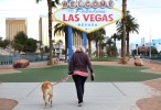
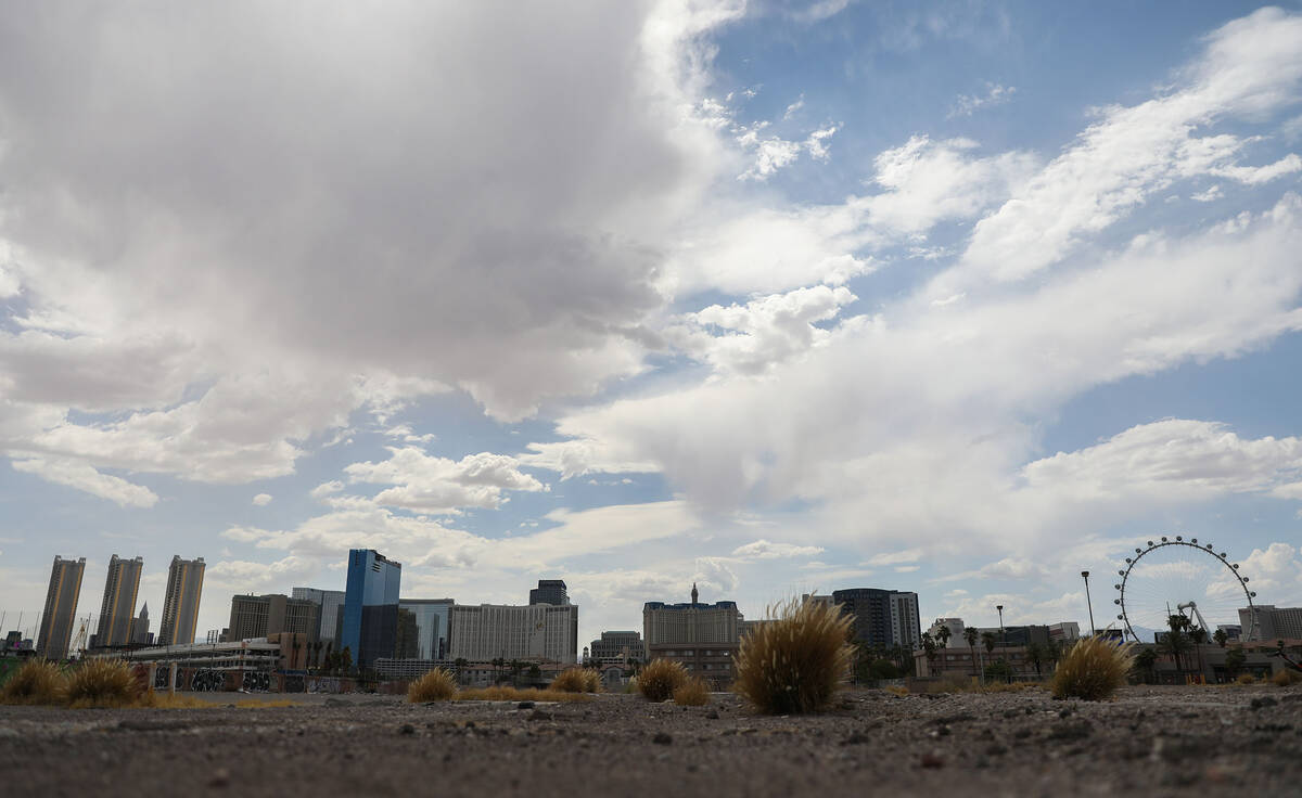
Vegas ties record of 110 or higher at 10 days; day ends with stormy conditions


Las Vegas has tied the 1962 record for consecutive days with a high temperature of 110 or higher.
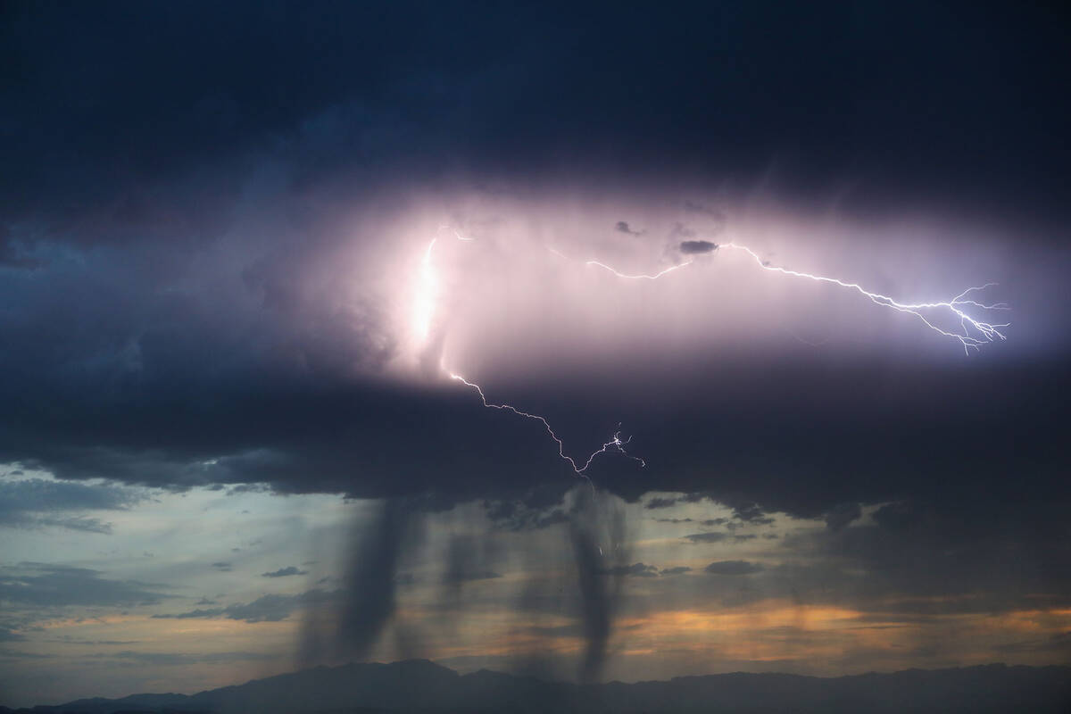
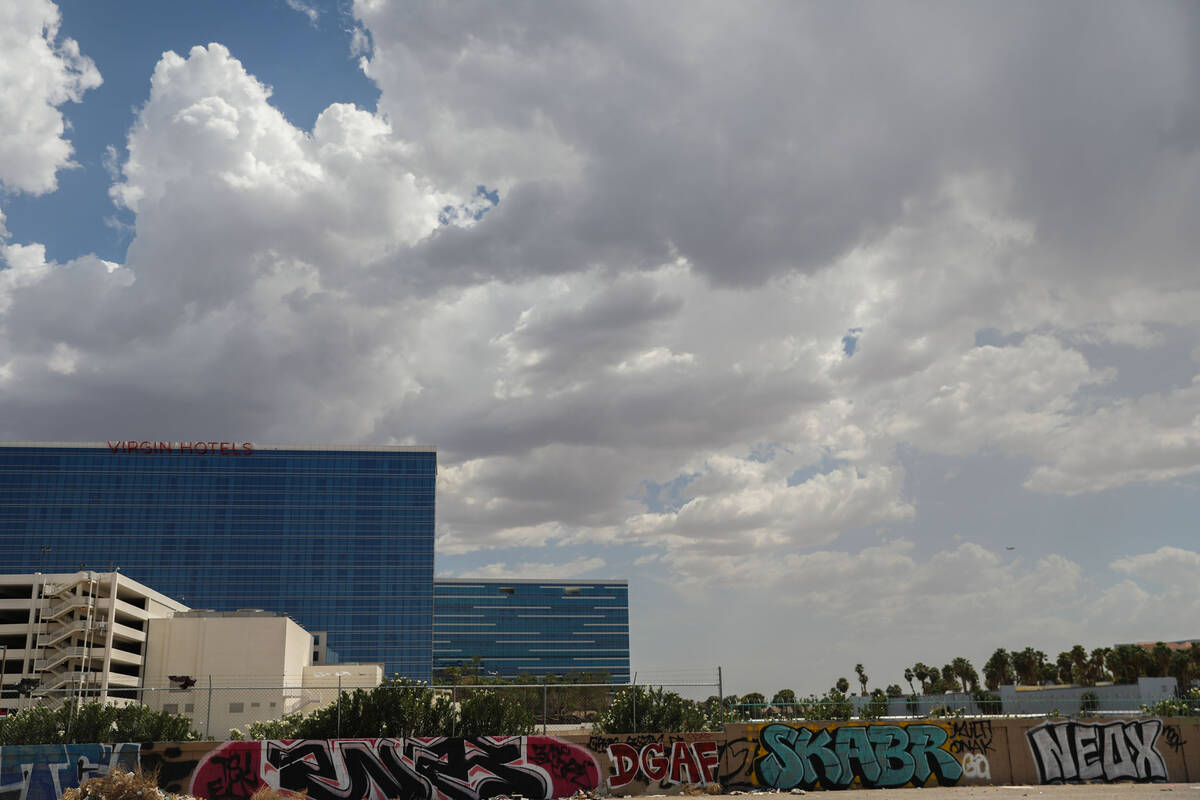
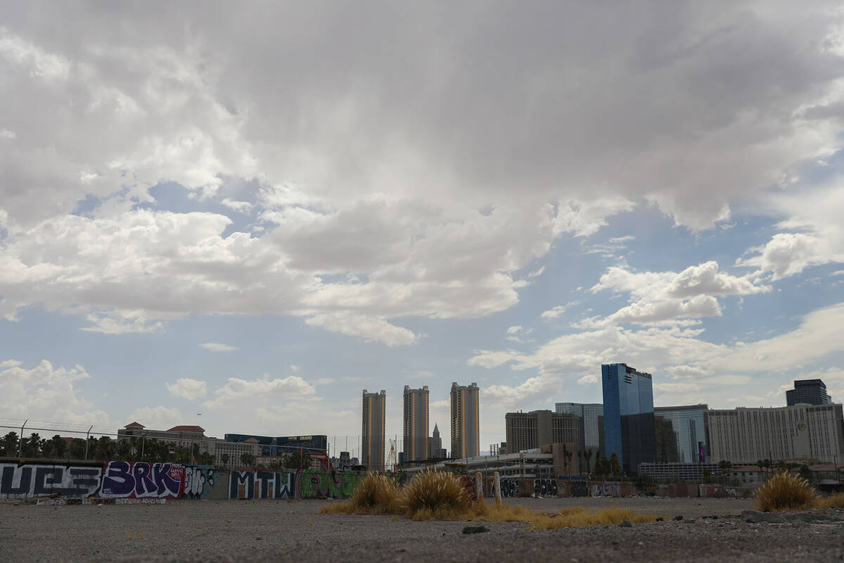
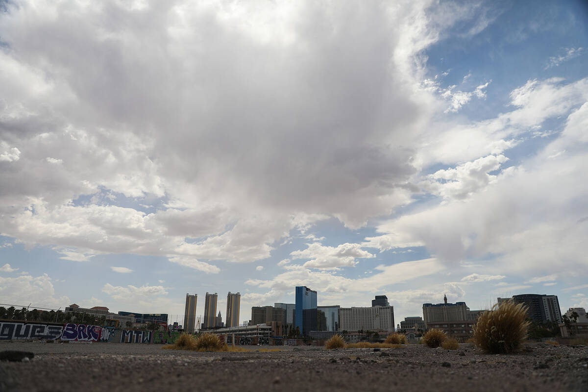
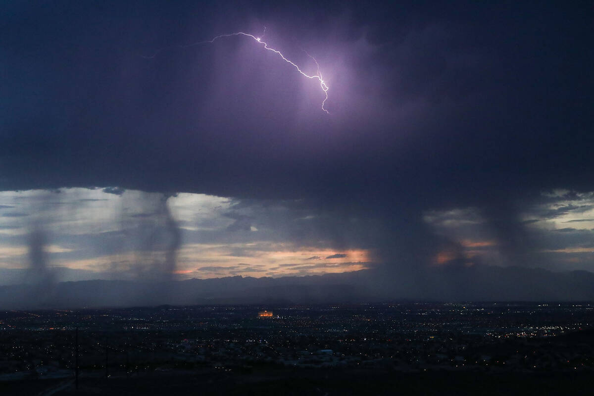
And a bit of storm action capped off the day.
The official measuring station at Harry Reid International Airport reached 110 at 2:40 p.m.
🥵10 Days of 110+°F
🌡️At 2:40 pm PDT, Harry Reid
Intl. Airport hit 110°F, making today the 10th day in a row with high temperatures ≥ 110°F for the #Vegas area.🏆This ties the record for consecutive days with high temperatures ≥ 110°F. #VegasWeather #NVwx pic.twitter.com/ZRo8PIcark
— NWS Las Vegas (@NWSVegas) July 23, 2023
But it’s possible the streak may not reach 11 days.
The National Weather Service forecast calls for a Monday high of 108 as rain and thunderstorms move into the valley for a next few days.
“Tomorrow is looking less promising (for reaching 110) with all this moisture and cloud cover,” said weather service meteorologist Morgan Stessman. “But it could be close.”
A 30 percent chance of showers and thunderstorms, mainly between 2 p.m. and 3 p.m., is forecast. Conditions will be mostly sunny and hot. South winds of 5 to 14 mph are expected with gusts as high as 22 mph.
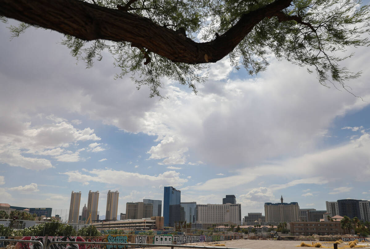
After Monday, the forecast highs return closer to 110 for much of the work week.
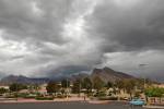
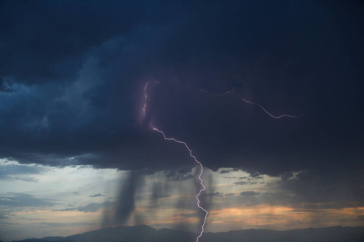
Rain along west side
Clouds dropped up to two-tenths of an inch in Summerlin west of the 215 Beltway on Sunday evening. Rain was also seen in Skye Canyon as well as other areas.
Depths in Regional Flood Control District gauges showed .20 of an inch in the Grand Park basin and lesser amounts in a line down to Sloan where .08 of an inch was measured.
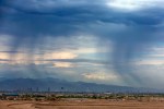
Earlier Sunday, storms had been expected to move into the Las Vegas Valley in the afternoon, according to the weather service.
Scattered storms dotted the east, central and south sides of the valley until about 11 p.m., but only an area near Black Mountain received much measurable rain at .08 of an inch.
“It was over the Valley of Fire and it will settle down after an hour or so,” Stessman said Sunday evening. “We’ll be clear for the rest of the night after that.”
Contact Marvin Clemons at mclemons@reviewjournal.com. Follow @Marv_in_Vegas on Twitter.