
What parts of Las Vegas saw the most rain this monsoon season?

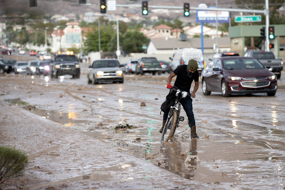


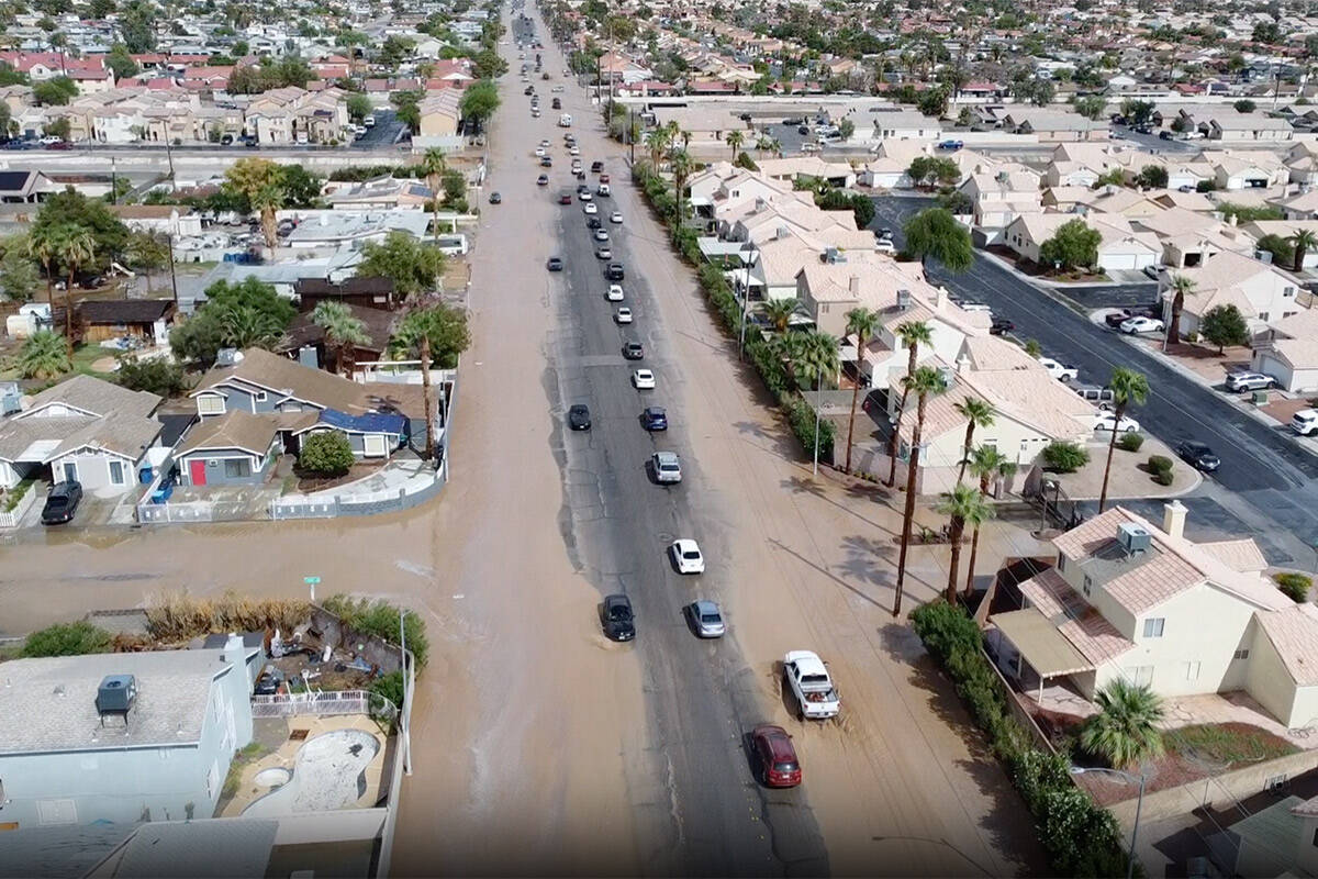


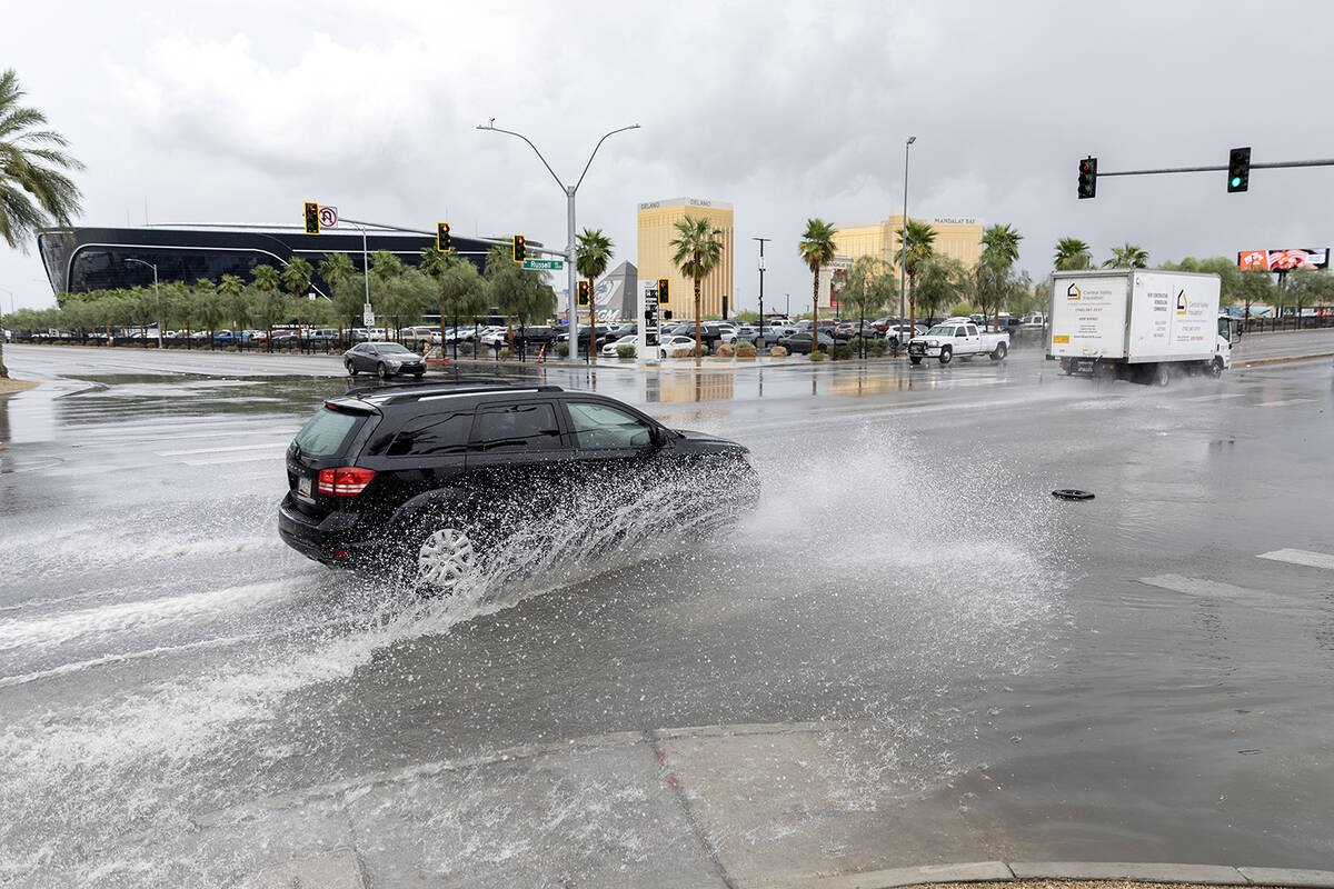
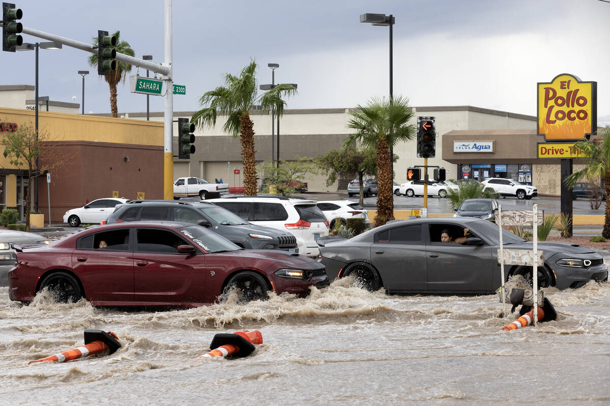
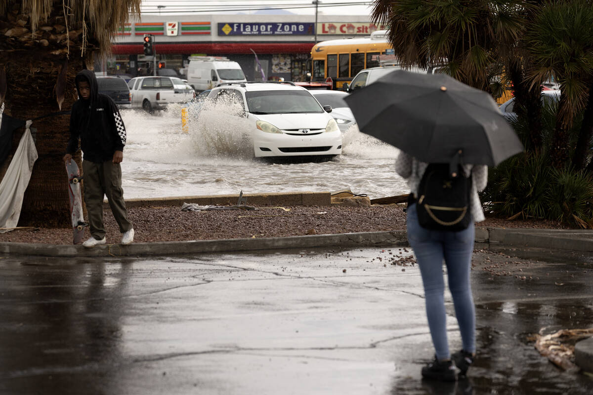


Las Vegas’ monsoon season is officially over, and the rainfall totals are in for which parts of the valley got the heaviest rainfall.
The season, according to the National Weather Service, begins June 15 and ends Sept. 30.
Here are the winners and losers of this year’s monsoon season in the Las Vegas Valley:
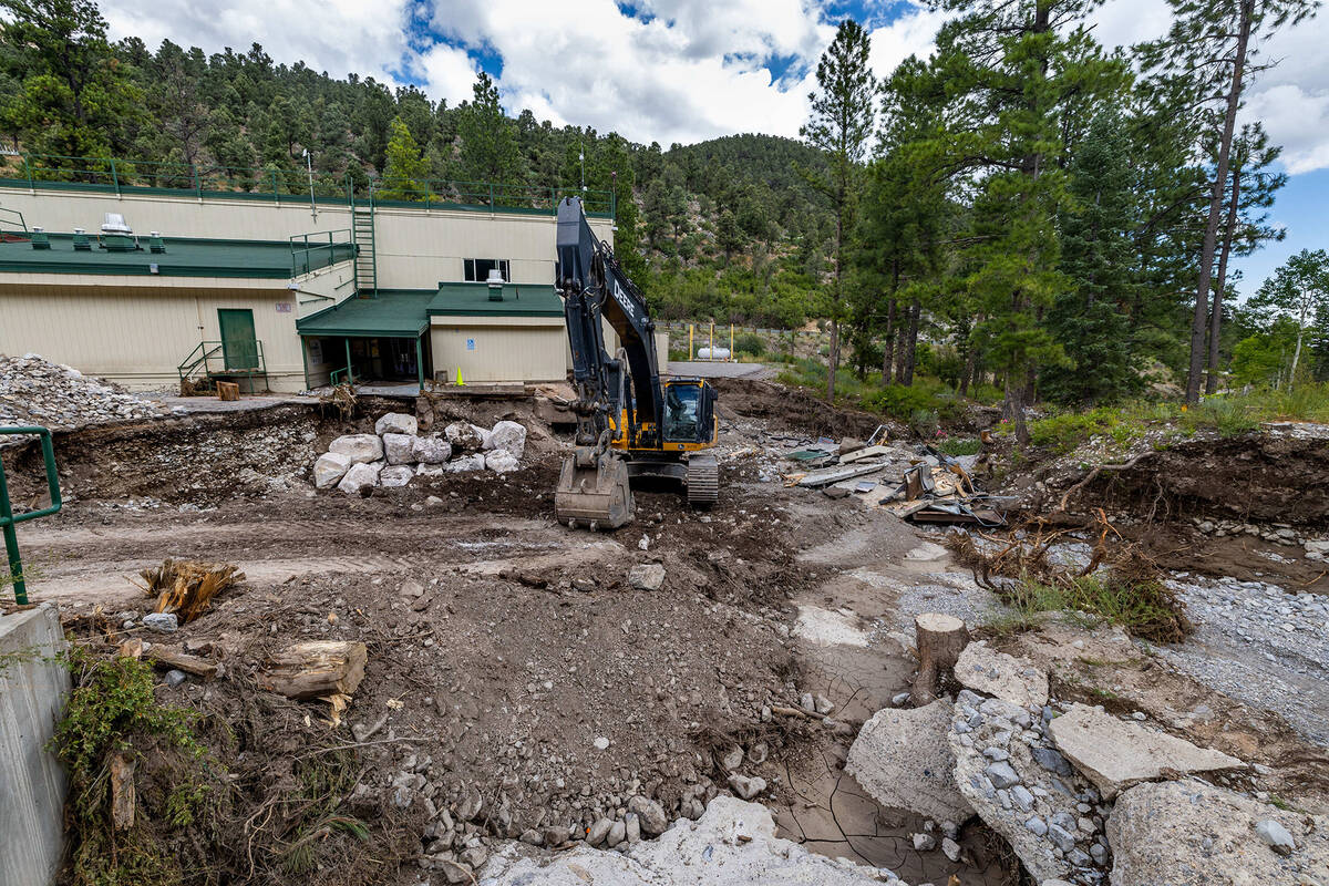
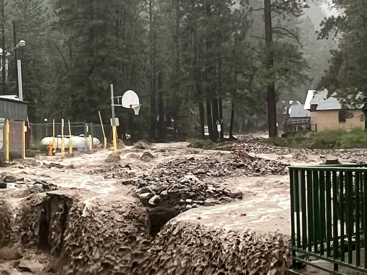
1st place: Mt. Charleston, Spring Mountains
After Kyle Canyon, Lee Canyon and Deer Creek roads were washed out and left without running water, it’s no surprise that the Spring Mountains came in first for the highest rainfall totals this summer.
Mt. Charleston got a combined 12.64 inches of rain over the 107-day period ending on Sept. 30 at 11:59 p.m., according to rain gauge recordings from the Clark County Regional Flood Control District.
Another gauge southeast of the mountain recorded 13.62 inches of rain this summer.
There are no flood control district gauges in Lee Canyon, but the Lee Canyon Ski and Snowboard Resort reported 9.8 inches of rain over the weekend of Tropical Storm Hilary, alone.
Mt. Charleston recorded 7.87 inches over two days from Tropical Storm Hilary — making up a large portion of its rainfall total in the 107-day period.
2nd place: Jean
A flood control district gauge recorded 9.17 inches of rain over monsoon season.
Jean was hit by heavy monsoon rainfall on Sept. 2, over Labor Day Weekend, when a flood control district gauge recorded 3.19 inches of rain in 2 hours, with about 2.14 inches falling within 45 minutes alone.
Rain runoff flooded Interstate 15 and closed southbound lanes for several hours.
One of the lowest gauges in the Las Vegas Valley was located west of this gauge, recording just 1.02 inches.
3rd place: Desert National Wildlife Refuge
Two gauges in the valley between the Sheep Range and Las Vegas Range in the Desert National Wildlife Refuge recorded rainfall totals of 8.66 and 6.85 inches this monsoon season.
The valley is in a remote area north of Las Vegas, with only a single road — Mormon Wells Road — passing through it.
High clearance and four wheel drive is still required on the rough road due to storms, the U.S. Fish and Wildlife Service said on its website.
Honorable Mention: Red Rock Canyon
Two gauges in Red Rock Canyon National Conservation Area recorded a little over 7 inches of rain across the 107 day-period.
The area received 2.60 inches of rain over Labor Day Weekend. Over the weekend of Tropical Storm Hilary, the Red Rock Canyon Fee Station recorded 2.91 inches, and Red Rock Canyon Visitor Center recorded 3.23 inches.
Biggest loser
A flood control district sensor on the north end of the runway at Nellis Air Force Base only recorded 0.04 inches of rain for the entire monsoon season.
Other low gauges:
— Belway Channel at Aliante, located on the 215 Beltway a quarter-mile west of Aliante Parkway: 0.71 inches.
— Jean SE3, 7.4 miles south-southeast of Jean: 1.02 inches.
— McCullough Hills DB, 0.36 miles northeast of Anthem Parkway and Reunion Drive: 1.10 inches.
— East Henderson 1, south of Burkholder Boulevard, east of Magic Way: 1.10 inches.
— Duck Creek above Mountain Vista, southwest of Russell Road and Mountain Vista Street: 1.19 inches.
— Headworks DB, located near Democracy Drive and Nawghaw Poa Road near Sloan Canyon National Conservation Area in Henderson: 1.26 inches.
Contact Taylor Lane at tlane@reviewjournal.com.


