
Thunderstorms prompt flood watch in Las Vegas Valley


The National Weather Service issued a flash flood watch for Clark County through Monday morning.
“Prepare for some stormy weather,” meteorologist Chris Outler said.
Two thunderstorms battered portions of the southern Las Vegas Valley on Thursday afternoon. The weather service issued severe thunderstorm warnings for Henderson with winds clocked at 59 mph south of the Henderson Executive Airport and the southwest valley with gusts topping out at 48 mph, the weather service said.
There were reports of pea-sized hail in Henderson, Outler said.
The flash flood watch for all of Clark County is set to expire 5 a.m. Monday.
The flood watch accounts for a 60 percent chance of storms during the day on Friday and Saturday, with chances dipping to 40 and 30 during the evening. Meteorologist Alex Boothe said to expect a 30 percent chance of storms on Sunday morning and afternoon and a 20 percent chance of storms during the evening.
“We’re in a pretty active weather pattern,” Outler said.
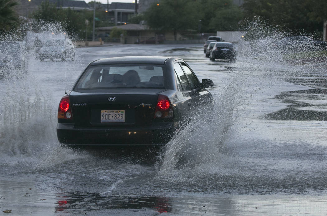
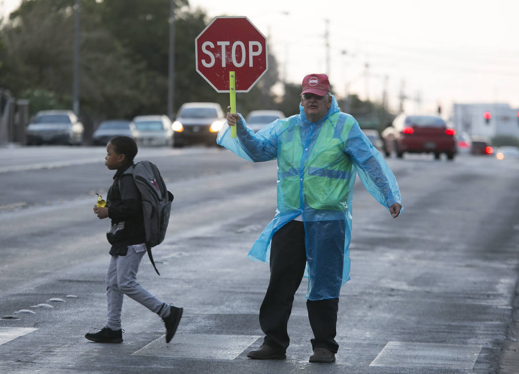
Boothe reminded motorists not to drive into floodwater, as it could prove deadly.
“It could be a lot deeper than you expect it to be,” he said.
Thursday’s high topped out at 99 degrees as partly cloudy skies keep a lid on temperatures, the National Weather Service said. Cloud cover should dampen temperatures throughout the weekend, with highs of 90, 87 and 94 predicted for Friday, Saturday and Sunday.
Monday will begin to heat up again, with a forecast high of 100 degrees. Lows of 80 and cooler are expected throughout the weekend.
Contact Blake Apgar at bapgar@reviewjournal.com or 702-387-5298. Follow @blakeapgar on Twitter.
Review-Journal staff writer Mike Shoro contributed to this story.


