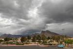
Flash flood watch issued as ‘monsoon season’ arrives in Las Vegas
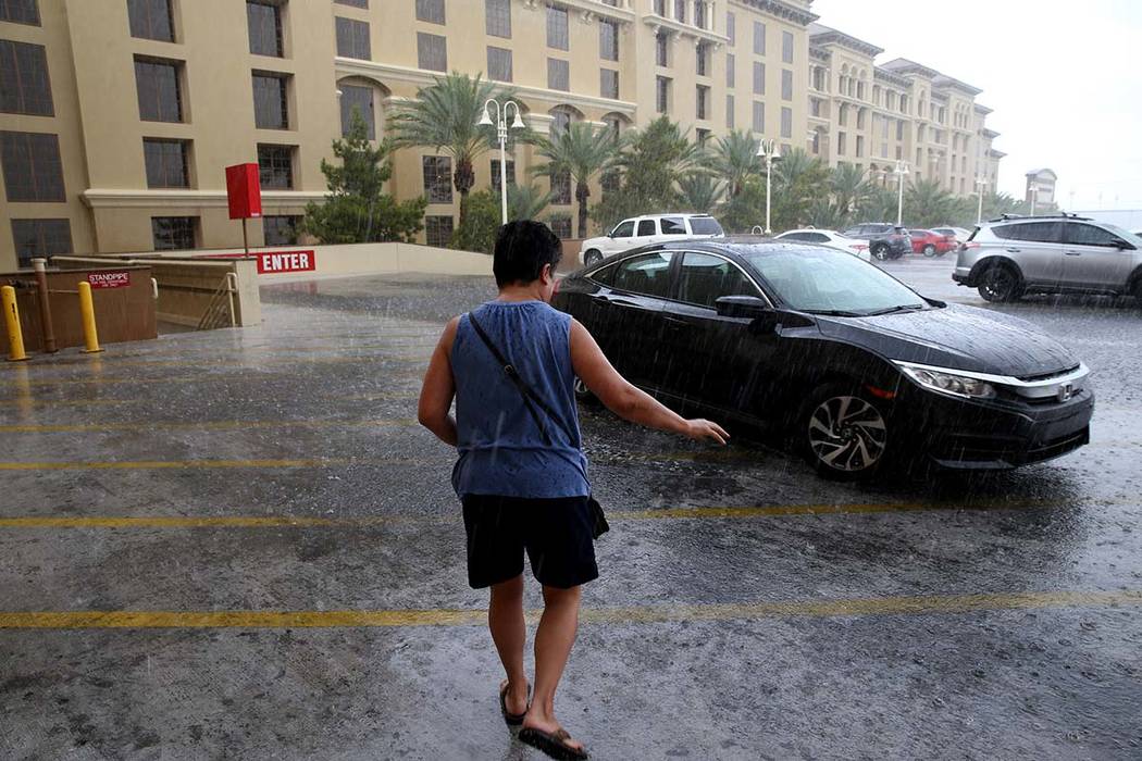
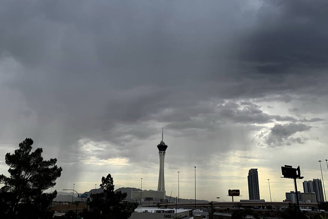


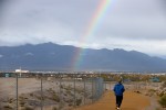
The Las Vegas Valley got its first taste of monsoon season Wednesday, prompting authorities to issue a flash flood watch for Clark County.
The watch was issued at 12:30 p.m. and was in effect until 11 p.m., according to the National Weather Service.
A severe thunderstorm warning was issued at 6:45 p.m. for areas around Boulder City and Lake Mead, the weather service tweeted. Winds of 40 to 50 mph are expected.
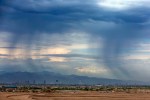
Storms dumped rain in parts of the southern valley and triggered a flash flood warning near Primm.
The storms made for an interesting morning commute for some, with reports of heavy showers over Henderson beginning at 8 a.m., and about 0.87 of an inch recorded at the Arroyo Grande Sports Complex by 7 p.m., according to the Regional Flood Control District’s website.
About three-fourths of an inch had fallen near the Fiesta Henderson, and 0.63 of an inch had fallen near Horizon Ridge Parkway and Stephanie Street.
Meteorologist Jenn Varian said no rain was recorded at the weather service’s station at McCarran International Airport, but sections of the north valley saw between 0.12 and 0.04 of an inch of rain.
No major flooding had been reported as of 10:30 a.m., according to Henderson Fire Department spokesperson Kathleen Richards.
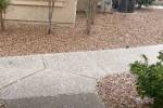
However, students at Touro University Nevada in Henderson were forced to navigate the parking lots carefully after a running stream formed on American Pacific and Auto Mall Drive around 9 a.m.
“Some of our parking for students is across that street. We now have one of our security guards helping students,” said Melody Crickman, director of marketing and public relations for the university.
Crickman said most of the water had receded by late morning, leaving “just a tiny little stream.”
The storms had mostly cleared out of the area by midday but forecasters were expecting more to develop in the afternoon, prompting issuance of the flash flood watch.
The weather service issued a flash flood warning at 11 a.m. for an area between Nipton and Mountain Pass, south of Primm, where heavy rain began falling about 10:30 a.m. The warning remained in place until 1:30 p.m.
“A watch is issued for the potential of flash flooding,” weather service meteorologist Stan Czyzyk explained. “A warning is issued where flash flood is either ongoing or expected to occur.”
Wednesday night should see a 20 percent chance for thunderstorms and a low of 86, Varian said.
The threat of more thunderstorms and heavy rain will persist through Thursday, with a 20 percent chance for storms in the morning and a 30 percent chance in the afternoon, the weather service said. The rain will begin to clear out by Thursday night, which should see a 10 percent chance for precipitation.
Parts of the valley also could also experience winds up to 30 mph “with any one of the thunderstorms,” the weather service said.
Meanwhile, temperatures will increase approaching the weekend as the valley dries up and the cloud cover thins out. Wednesday’s high of 100 is expected to be followed by highs of 103 on Thursday and 106 on Friday, while Saturday and Sunday will jump to 110 and 109, respectively. Monday should see a high of 109, the weather service said.
Overnight temperatures will hover between 84 and 88 this week.
Contact Sabrina Schnur at sschnur@reviewjournal.com or 702-383-0278. Follow @sabrina_schnur on Twitter. Review-Journal staff writer Katelyn Newberg contributed to this report.