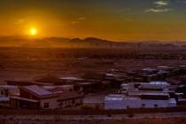
August begins with a bang as storms hit Summerlin, western valley
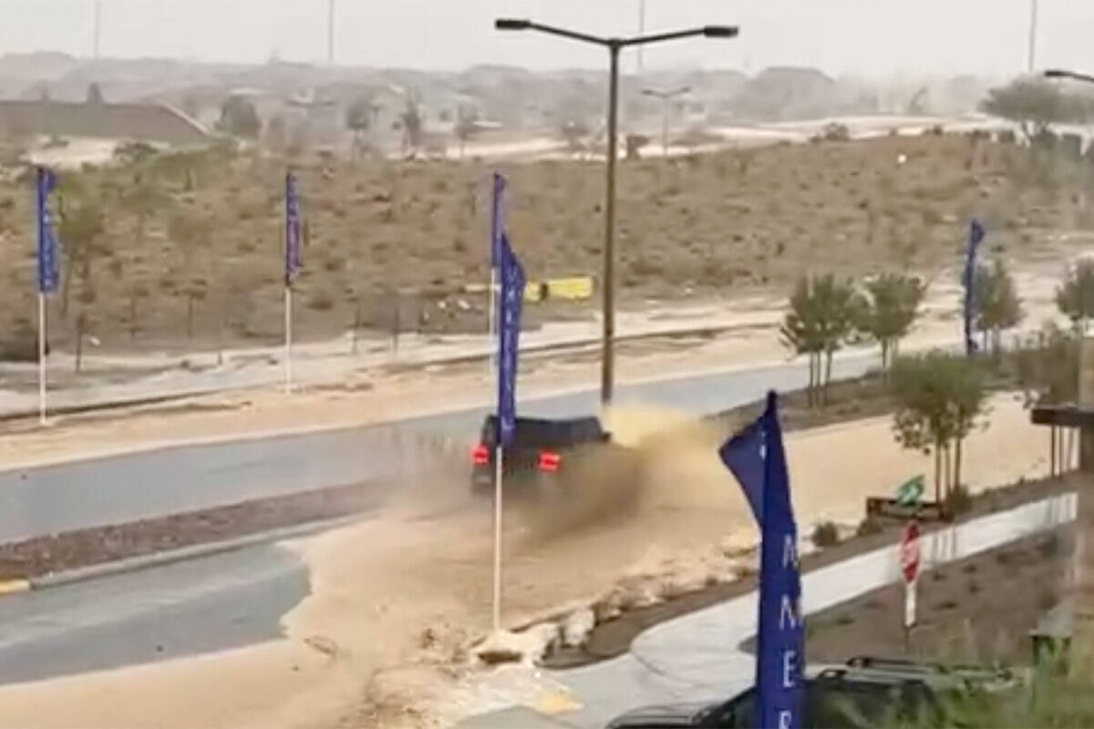
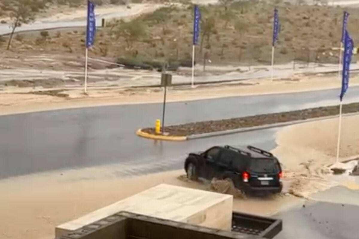
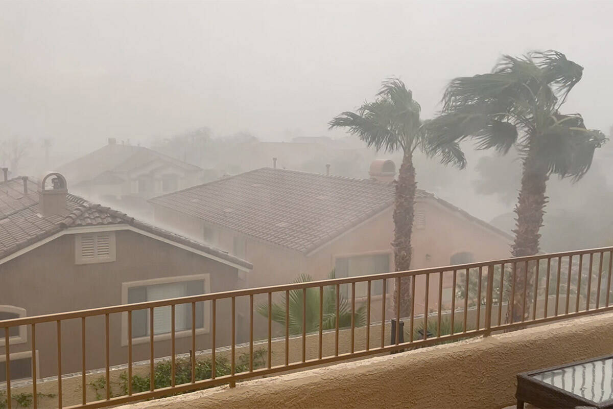
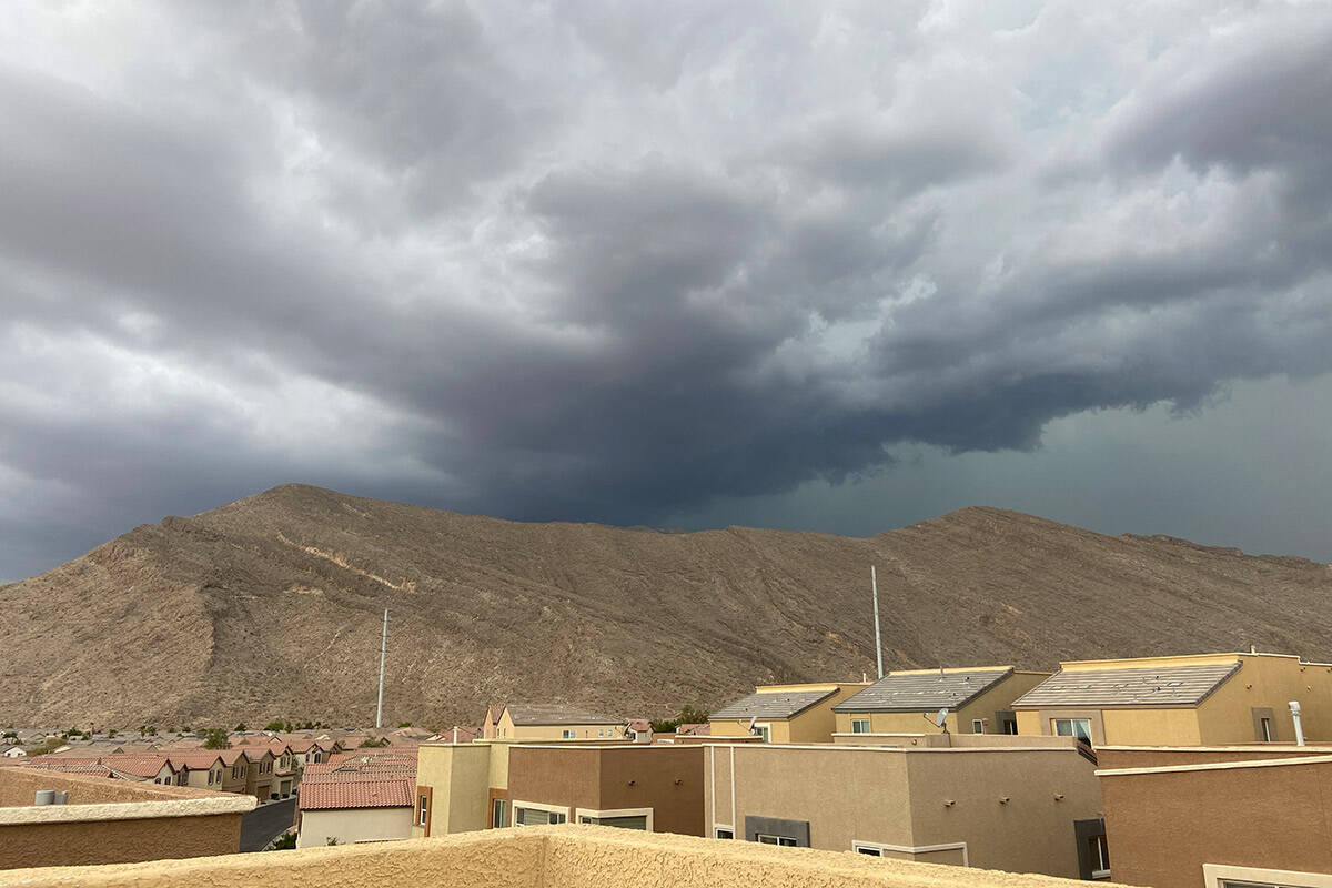
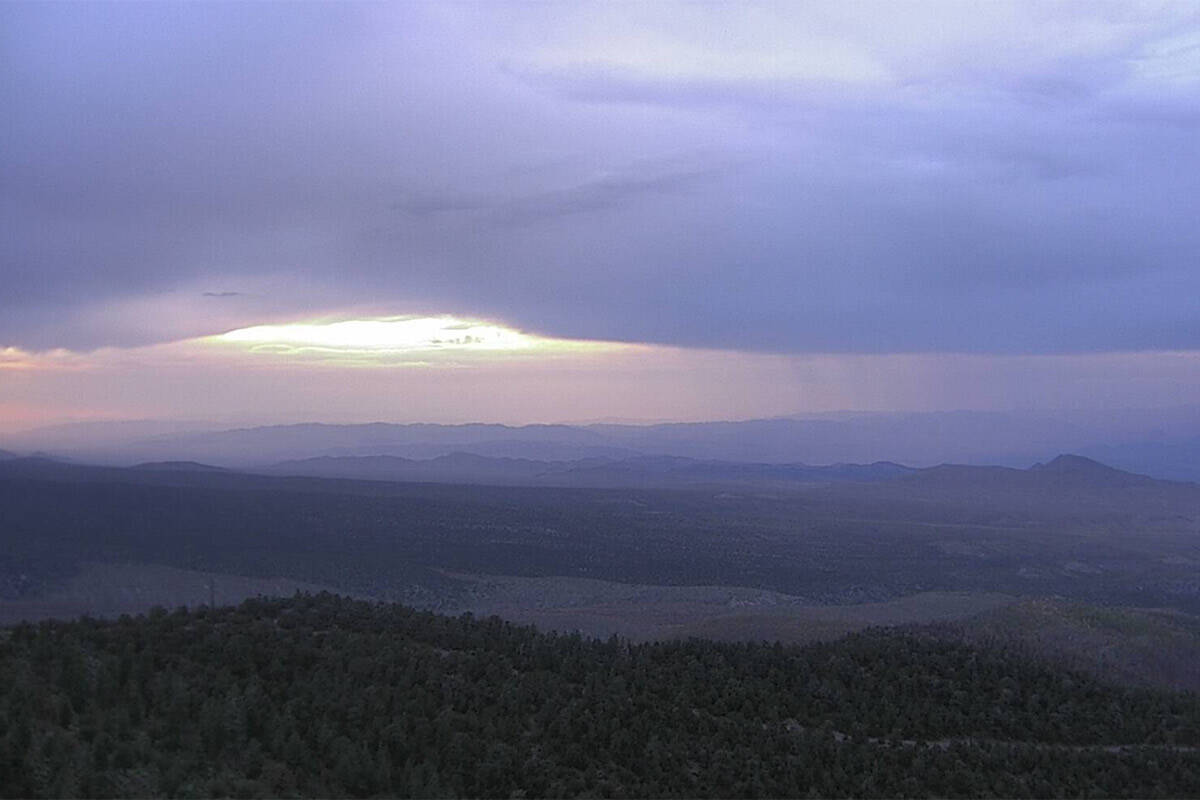
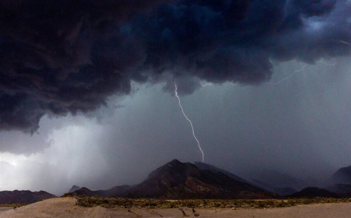
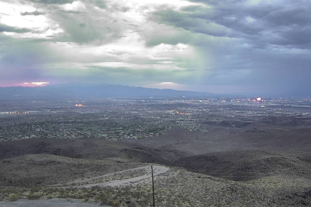


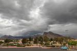
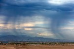
Summerlin, Red Rock Canyon and parts of the west and northwest Las Vegas Valley were slammed by a severe thunderstorm Tuesday evening, filling streets and channels with floodwaters from sideways showers.
A severe thunderstorm warning quickly turned into a flash flood warning for the west valley. The rain was heavy and unrelenting in parts of the valley for about a half hour before it moved on to other areas.
The National Weather Service said at 6:45 p.m., heavy thunderstorms were producing an inch of rain or more in the Summerlin and Centennial Hills areas.
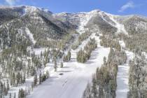
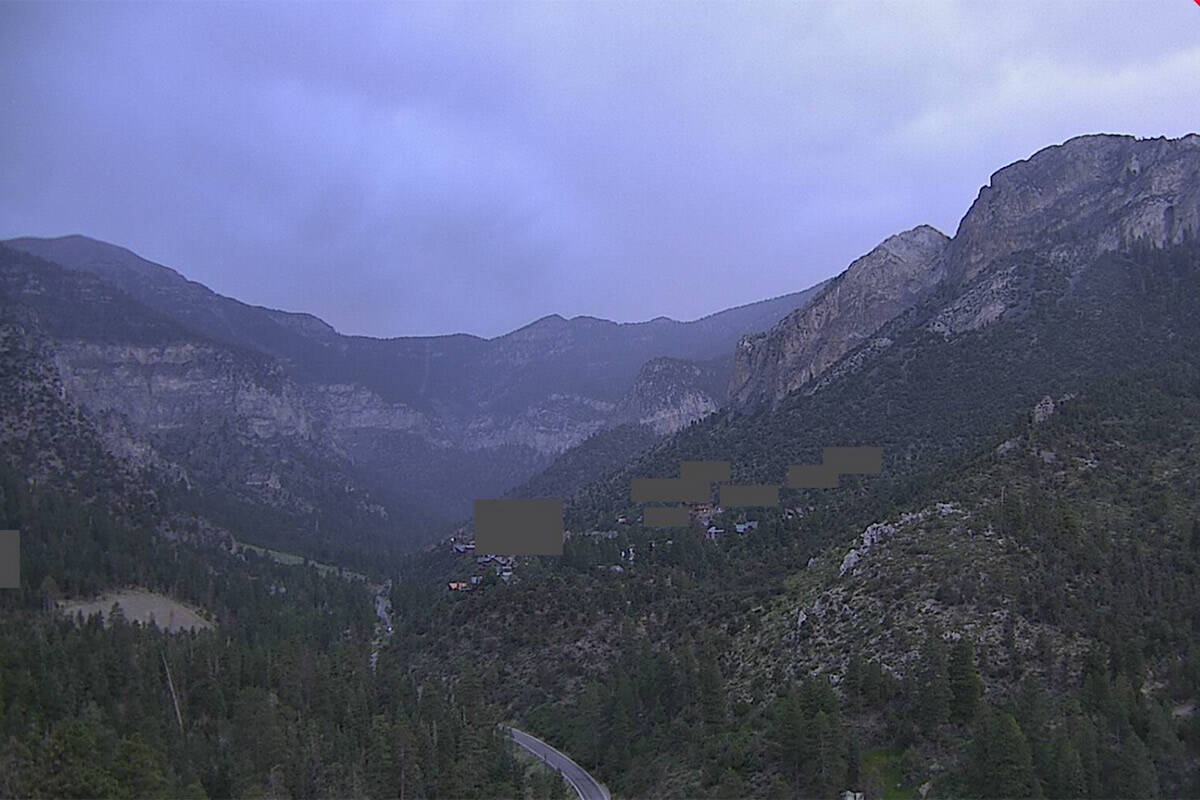
Flash flood warnings were issued for the Mount Charleston area and Red Rock Canyon National Conservation Area, including Kyle and Lee canyons, Spring Mountain Ranch State Park and Blue Diamond.
The weather service said in a post that rain gauges at Mount Charleston measured over an inch of rain in less than an hour around 5 p.m.
Clark County Regional Flood Control District’s rain gauges showed areas near Red Rock Canyon and west Summerlin received between half an inch to over an inch and a half of rain Tuesday evening.
The weather service said some gauges in Summerlin and Centennial Hills picked up over half an inch of rain in 15 minutes. One gauge near Cheyenne Avenue and the 215 Beltway showed the area received over an inch of rain within an hour and a half.
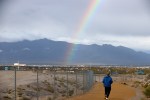
Las Vegas has a 40 percent chance of thunderstorms Wednesday morning, but that chance drops to 10 percent later in the day. Winds could reach 18 mph, the weather service said.
Wednesday’s forecast high is 100 degrees, with a low of 82 degrees.