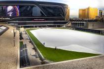
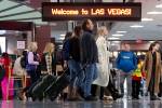
Satellite system may modify routes for Las Vegas airports


Airplanes might soon glide into Las Vegas via a satellite system that would likely make jobs easier for pilots and air traffic controllers.
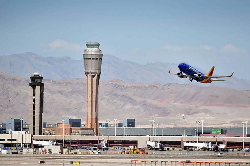
The Federal Aviation Administration wants to track aircraft more accurately by creating a series of new satellite-based routes for arrivals and departures at McCarran International, Henderson Executive and North Las Vegas airports, along with Nellis Air Force Base.
Las Vegas is the last of 12 regions adopting the FAA’s Metroplex projects, which call for a move away from a decades-old, beacon-based navigation system to a satellite-based procedure capable of creating more precise flight routes.
“As we move toward satellite-based navigation, it’s going to be like going from paper maps to using GPS on your smartphone,” said Tamara Swann, the FAA’s deputy regional administrator overseeing the Metroplex project.
The FAA will soon study route modifications, starting with a series of community meetings this week to explain its plans and gather input about flight route modifications.
The agency will spend about a year drawing up ideas that will be presented during another round of meetings, followed by an environmental assessment. New routes could be implemented as soon as December 2019.
“We are optimistic that this Las Vegas Metroplex study will result in an understanding of the safest and most efficient manner in which to operate McCarran and all Southern Nevada airports by utilizing the best available technologies and taking into consideration all community and environmental impacts,” Rosemary Vassiliadis, Clark County aviation director, said in a statement.
Even though the FAA is exploring new flight paths, officials said they don’t expect too many drastic changes because of several existing limitations.
Smoother flight paths
Flight paths are limited by a mix of tour helicopter routes, rugged mountain terrain circling the valley and restricted military airspace running as far south as the Spaghetti Bowl interchange in downtown Las Vegas.
Requirements that aircraft must maintain specified distances from one another and the existence of three airports close to an Air Force base further limit the FAA’s options.
“What seems like a large chunk of airspace gets very small very quickly,” said Brad Mayhugh, the FAA’s project manager for the Las Vegas Metroplex. “It becomes a small piece of real estate that we have to work with.”
Existing arrival and departure routes have been in place for decades but pose challenges, which include converging flight paths and inefficient climbs and descents that require aircraft to level off for significant periods of time — almost as if they are taking a long stairway.
Additionally, air traffic controllers usually issue complex commands to pilots landing at McCarran.
Those issues generally result in longer flights, increased use of fuel and the potential for pilots to misunderstand difficult instructions from air traffic controllers.
The new satellite system would let the FAA create a smooth path that allows planes to glide into a landing, resulting in shorter flights, saved fuel and reduced carbon emissions. It would also heighten safety by automatically keeping planes separated from one another and decreasing a pilot’s need to constantly communicate with air traffic controllers.
“Basically, we want to build a formal departure and arrival route that will be repeatable and predictable to make it easier for controllers, pilots, airlines and passengers,” said Chris Thomas, an air traffic controller at McCarran International Airport who is assisting with the Metroplex project.
“If we can do this across the country, it sets us up for a more efficient national airspace system,” Thomas said. “Everyone benefits in the end.”
Contact Art Marroquin at amarroquin@reviewjournal.com or 702-383-0336. Follow @AMarroquin_LV on Twitter.
FAA Community meetings
Tuesday, 4-8 p.m.: Henderson Convention Center, 200 S. Water St., Henderson
Wednesday, 4-8 p.m.: North Las Vegas Airport's Grand Canyon Room, 2730 Airport Drive, North Las Vegas
Thursday, 4-8 p.m.: Clark County Government Center, 500 S. Grand Central Parkway, Las Vegas