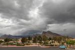
Mount Charleston roads still closed, update expected next week


Although the repair work on two of the main storm-damaged roads on Mount Charleston is expected to be completed by early October, there is still no timeline on when the roads will be reopened, but a news conference next week may shed some light, officials said.
“A joint news conference with Clark County and participating agencies and stakeholders is being planned for next week,” U.S. Forest Service spokesperson Patricia Ryan said in an email.
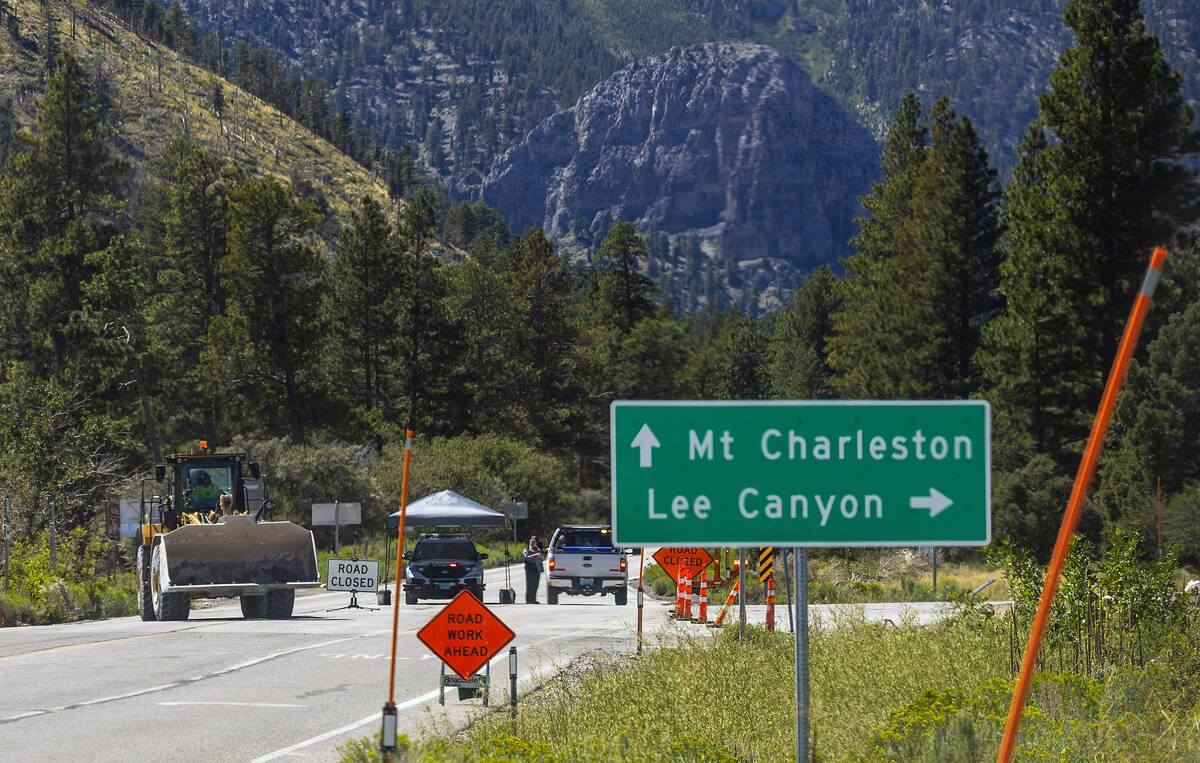
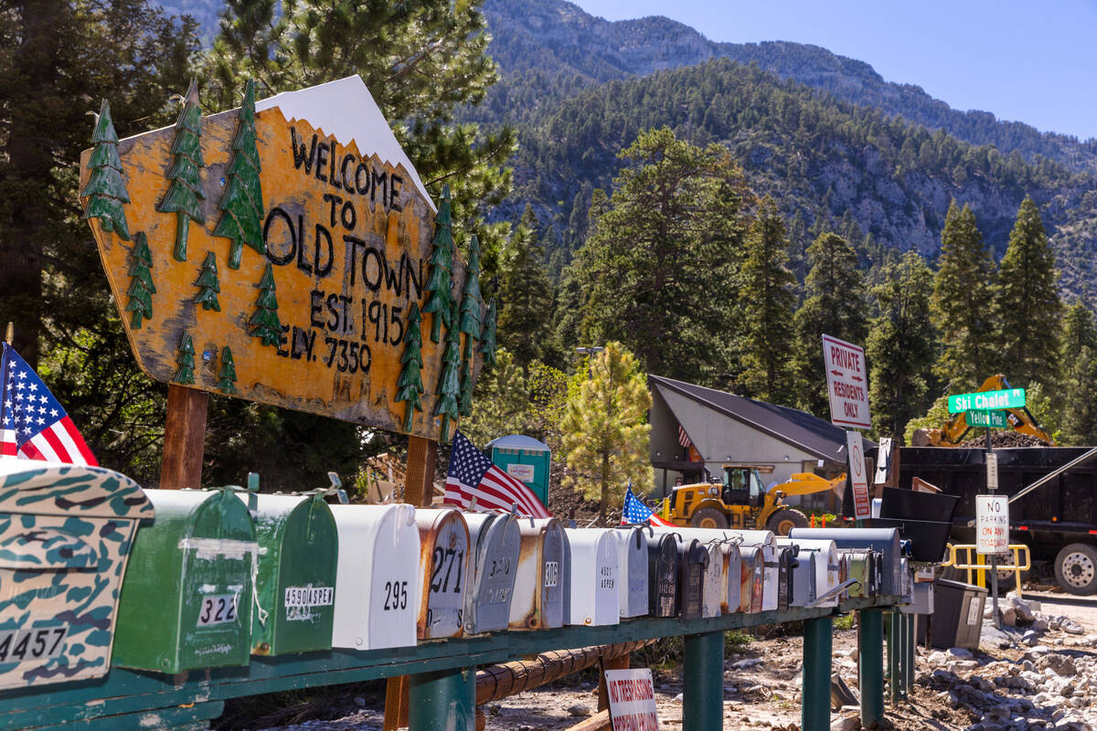
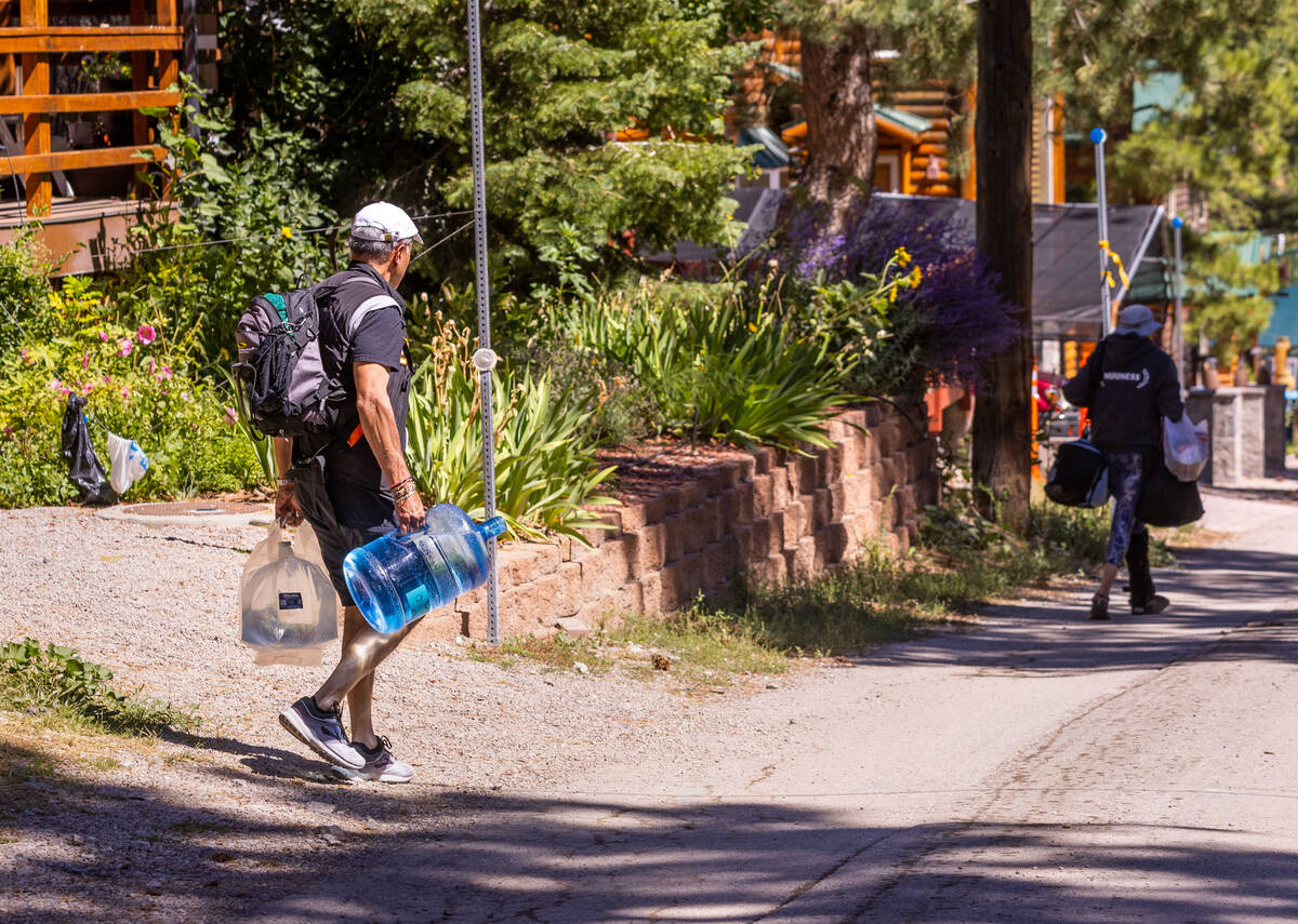
The roads are still closed to the general public over five weeks since the remnants of Tropical Storm Hilary battered the mountain. Only mountain residents, emergency responders and workers involved in the repair work are permitted to drive the roads into and out of the mountain.
A Nevada Department of Transportation spokesperson said crews are “making great progress” and are “on track” to complete repair work being done on State Route 157, also known as Kyle Canyon Road, and State Route 156, also known as Lee Canyon Road, by early October, which is next week.
“There’s a lot at stake for different agencies in different ways,” NDOT spokesperson Justin Hopkins said on Friday morning. “And so we all have to — everybody is working together really closely behind the scenes trying to make this as safe and efficient as possible for everybody.”
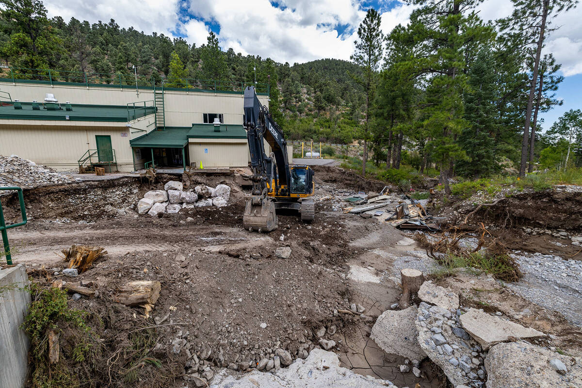
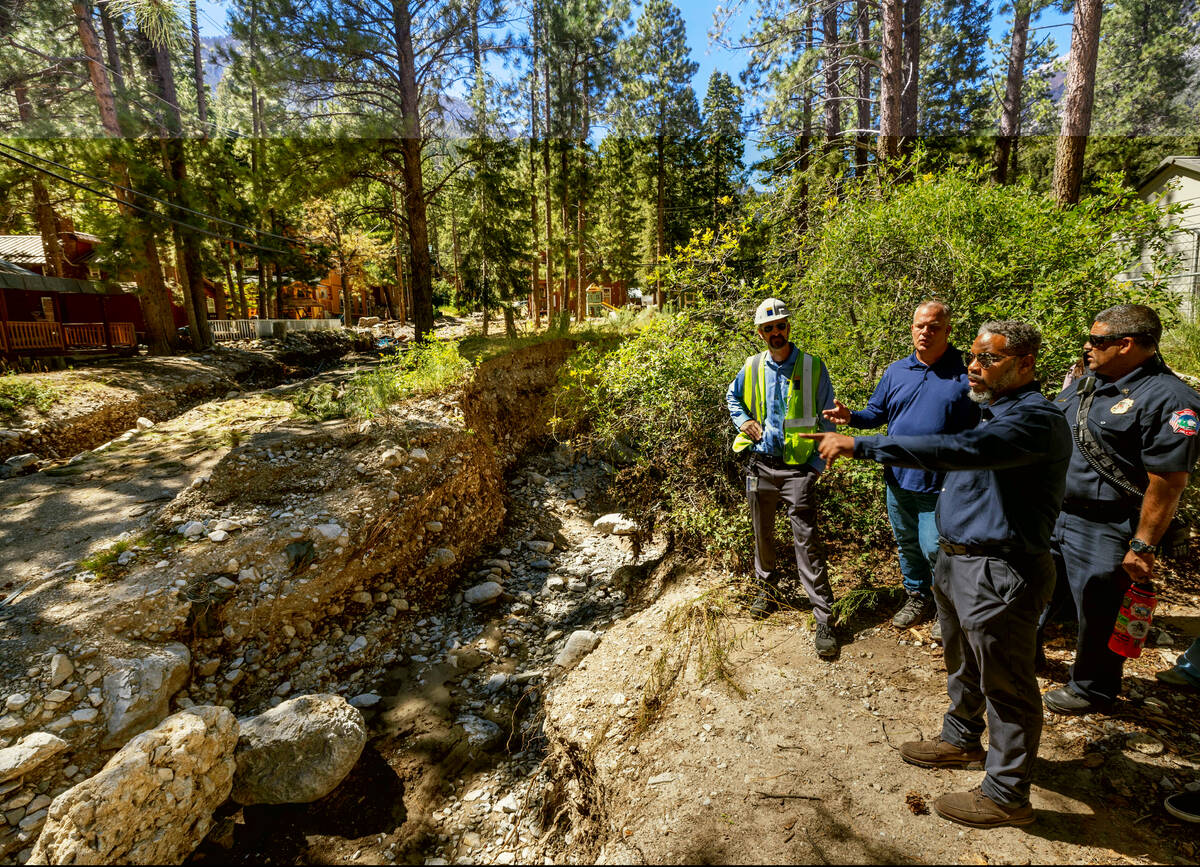
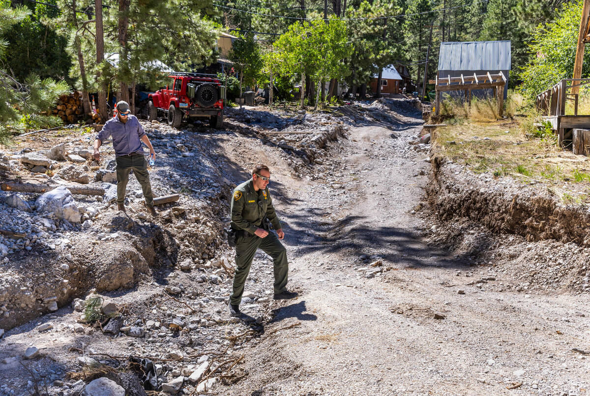
Hilary’s remnants rolled in on Aug. 20 and drenched Mount Charleston into Aug. 21, dropping 8 inches of rain on Kyle and Lee canyons and sending what looked like rushing rivers of water down parts of the mountain, leading to extensive road damage.
Ryan also said the U.S. Forest Service expects to release further information on Friday in the form of a news release and social media posts, while Hopkins and Clark County spokesperson Stacey Welling also indicated an update would be forthcoming.
“I anticipate having much more information for you next week,” Hopkins said in an email.
“The work is progressing, the area remains closed,” Welling said. “And we will keep you posted on an update.”
‘Ambitious goal’
State Route 158, also known as Deer Creek Road, which connects Kyle Canyon Road to Lee Canyon Road on the mountain, was more substantially damaged, Hopkins said in an email Thursday.
“We have an ambitious goal of getting that roadwork completed before winter,” Hopkins said in the email, adding that because the damage was so severe, that timeline could change.
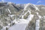
Asked if the storm damage and road closures could possibly impact the upcoming skiing season at Lee Canyon, Jim Seely, the marketing director for Lee Canyon, said that if the roads were opened by then, the ski slopes and facilities would be ready.
“Our typical opening day for skiing and snowboarding is early December, right?” Seely said. “So by that time, everything should be good to go.”
Seely said the clearing and removal of debris is basically done and that work is being done to make sure the electrical and water systems will be ready. He said the storm didn’t affect the facilities at the base area, where the restaurants and guest services areas are.
Dump trucks carried out about 240 loads of debris from the base, he said. Most, if not all, of that debris, Seely said, was used to fill areas on the slopes that were eroded by the storm.
Seely said the storm damage and closures are preventing thousands of people who would otherwise be heading to Lee Canyon for mountain biking, hiking and other activities. He said the ski season, which typically lasts until March — although last year’s went through May — results in more than 100,000 visits.
A $7 million capital project announced in August, which includes a new chairlift, a new surface lift that transports skiers while they are still on the ground, and a new 450-space parking lot, is still on track to be ready for this coming season.
“We’re excited for this winter season,” Seely said.
Meanwhile, a post on Facebook Tuesday by the U.S. Forest Service shows significant damage to the popular Cathedral Rock Trail on Mount Charleston. About 70 percent of the hiking route is inaccessible, according to the post.
The photos were taken by the Friends of Nevada Wilderness staff, who went up to the trail on the weekend to survey the destruction, the forest service said in the post.
“They reported the trail is 70% inaccessible with significant gaps, fallen and unstable trees, and feet of rubble piled across the trail — making the trail dangerous for the public,” the post on the U.S. Forest Service-Humboldt-Toiyabe National Forest Facebook page read.
Contact Brett Clarkson at bclarkson@reviewjournal.com.