
Which mountain am I looking at? A guide to Las Vegas’ mountains


Mountains here. Mountains there. Mountains everywhere.
New Las Vegas residents, especially if they’re from east of the Rockies, may not be used to seeing mountains in their front, side and rear windows.
But what are the names of those prominent mountains and mountain ranges?
Here’s a guide to help you figure out which mountain you’re looking at:
Western Mountains
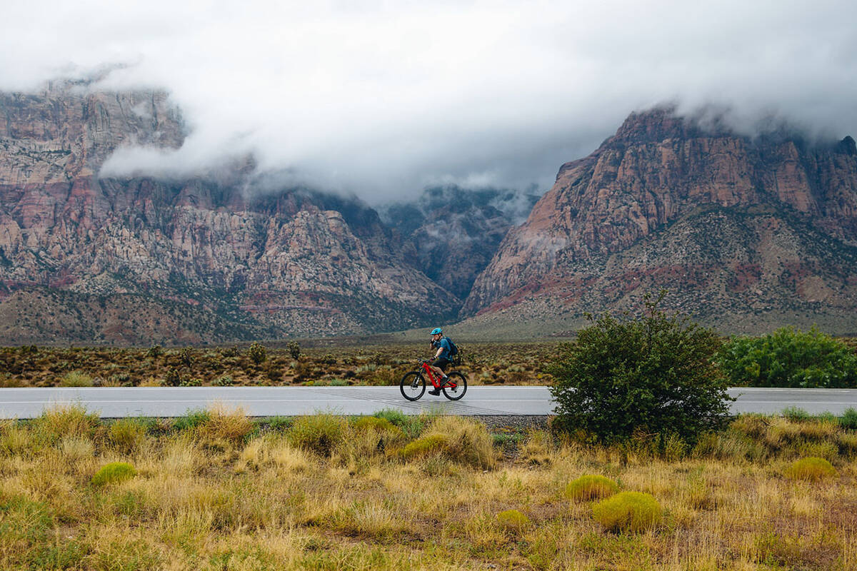
Rainbow Mountains and La Madre Mountain
This mountain range made of bright red and white sandstone cliffs stands on the western boundaries of Red Rock Canyon National Conservation Area and Spring Mountain Ranch State Park.
These mountains, while visible from Red Rock Canyon, are protected within the 24,997-acre Rainbow Mountain Wilderness, managed by the Bureau of Land Management and U.S. Forest Service.
The mountains are a popular spot for hiking, camping and horseback riding. Motorized vehicles are not allowed in the wilderness area.
The tallest mountain in the range is Mount Wilson (7,070 feet), according to the BLM, and is recognized by its bright red rock through the middle of the mountain.
North of the Rainbow Mountains is La Madre Mountain (6,000 feet) and made of dark limestone that has been pushed above sandstone by the Keystone thrust formation caused by tectonic forces, according to the forest service.
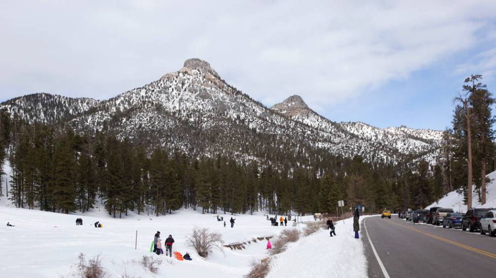
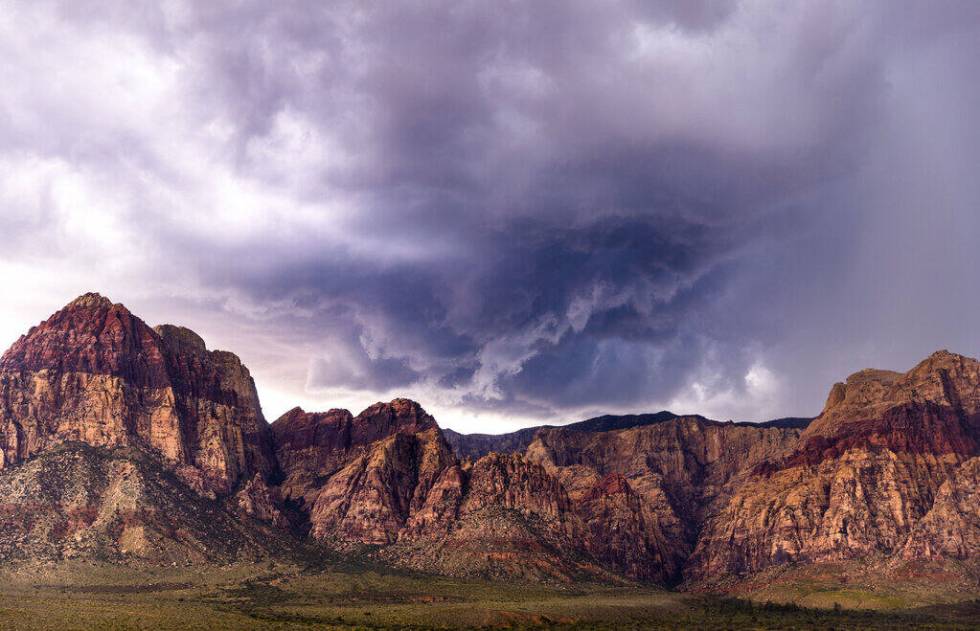
Spring Mountains
West of both the Rainbow and La Madre mountain ranges is the Spring Mountain range — the tallest mountain range adjacent to the Las Vegas Valley. Mount Charleston is the tallest peak at 11,916 feet, followed by Mummy Mountain (11,533 feet) and Griffith Peak (11,059 feet).
The mountains create a “sky island,” meaning that the high elevation of the mountains have led to different plant and animals species living there, like elk and bristlecone pine, than in the desert valley below.
There are 40 miles of trails within the Spring Mountains, according to the forest service, though many trails were destroyed in August 2023 during Tropical Storm Hilary.
The Mt. Charleston Wilderness, where the Spring Mountain range is located, is accessible via Kyle Canyon Road. The wilderness area borders the Spring Mountain National Recreation Area, which is a popular spot for winter sports and for escaping the harsh Las Vegas heat, according to the forest service.
Mount Potosi, near State Route 160, is also a prominent peak on the southern end of the range.
Northern Mountains
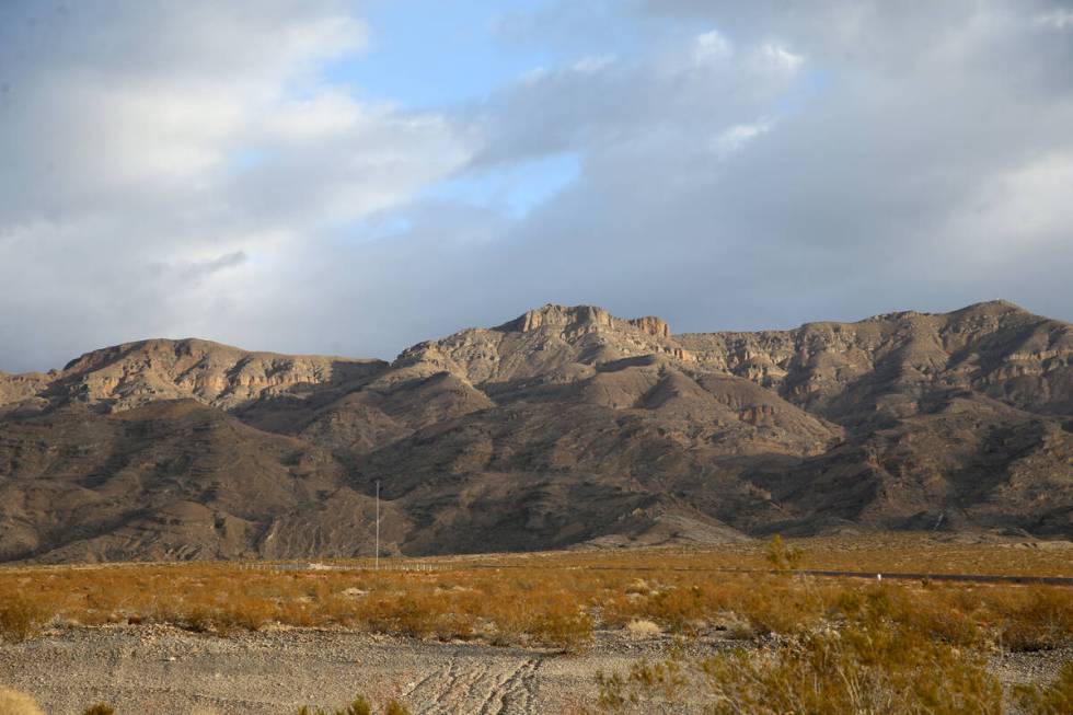
Sheep Range and Las Vegas Range
Both mountain ranges lie directly north of the valley within the Desert National Wildlife Refuge, with the Las Vegas Range closest to the Las Vegas Valley just north of Tule Springs Fossil Beds National Monument.
The Sheep Range is northwest of the Las Vegas Range.
Both mountain ranges can be accessed by taking U.S. Highway 95 to Corn Creen Road, turning onto Alamo Road, and then onto Mormon Wells Road. Mormon Wells Road requires a high-clearance, four-wheel drive vehicle to travel.
Gass Peak (6,937 feet) is the highest peak in the Las Vegas Range, the U.S. Geological Survey states. Hiking to its peak is a 6.3-mile round trip that gains about 2,037 feet to its summit, according to the hiking app AllTrails.
Travel Nevada says visitors can see bighorn sheep and jackrabbits within the wildlife refuge.
Eastern Mountains
Frenchman and Sunrise mountains
Frenchman and Sunrise mountains lay east of Sunrise Manor and sit on either side of Lake Mead Parkway. The larger of the two mountains is called Frenchman, but it is a popular local misnomer to call the mountain Sunrise.
The two mountains make up a geological phenomenon called the “Great Unconformity,” where 1.2 billion years of rock are missing between two layers of stone. Granite and schist about 1.7 billion years old lay next to 500 million-year-old sandstone, as millions of years of stone were previously eroded away, according to Steve Rowland, a professor of Geology at UNLV.
East of Frenchman Mountain is an area with mountain ridges and valleys called the Rainbow Gardens Area of Critical Environment Concern, which managed by the BLM. The area is a popular spot for off-roading.
A movement is underway to turn the entire area, including Frenchman and Sunrise mountains, into the East Las Vegas National Monument.
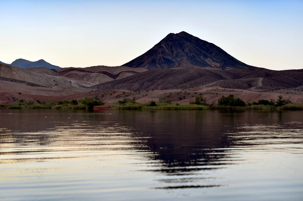
River Mountains
Separating Henderson and Boulder City from Lake Mead are the River Mountains. This range is encircled by the 35-mile River Mountains Loop Trail that runs from southeast Henderson north to Lake Las Vegas, around the western edge of Lake Mead to Boulder City and back to Henderson.
According to the River Mountains Loop Trail website, the mountain range is the product of lava flows from two mountains in the area. One the mountains is called Lava Butte, and is recognized by its darker-colored rock that rises above the nearby, lighter colored mountains.
A few prominent hillside letters in the range are the “B” and “Q” on the range near Henderson, which represent Basic High School nearby and Quinton Robbins, an alum of the school who died in the 1 October shooting. On the Boulder City side of the mountains are the letters “BC.”
Southern Mountains
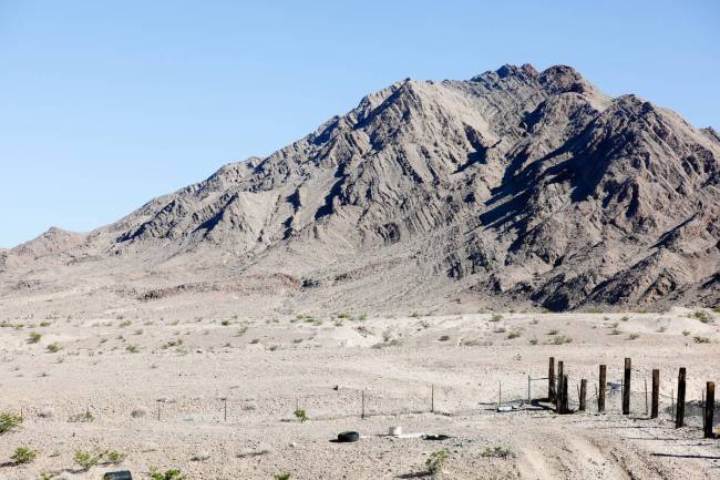
McCullough Hills
The McCullough Hills, also referred to as the McCullough Range, are mountains that run along the southern border of Henderson and extend south to Primm.
The range is largely protected by the BLM as the Sloan Canyon National Conservation Area, and contains hundreds of petroglyph rock art panels.
The McCulloughs, like the River Mountains, have volcanic origins, and several peaks in the range are extinct volcanoes, according to research from UNLV’s Department of Geoscience.
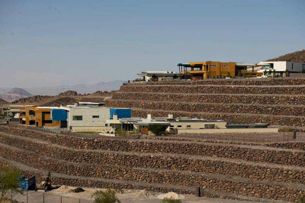
Prominent peaks in the range include Black Mountain, and a unnamed peak with many radio towers located on the northeast edge of the range near Interstate 11. The unnamed peak is often called Black Mountain by locals. Henderson’s Ascaya community is being built into the side of the range.
And, if all of this is still confusing, here’s a map to help:
Contact Taylor Lane at tlane@reviewjournal.com


