Strongest Vegas winds, perhaps 65 mph, expected Saturday afternoon

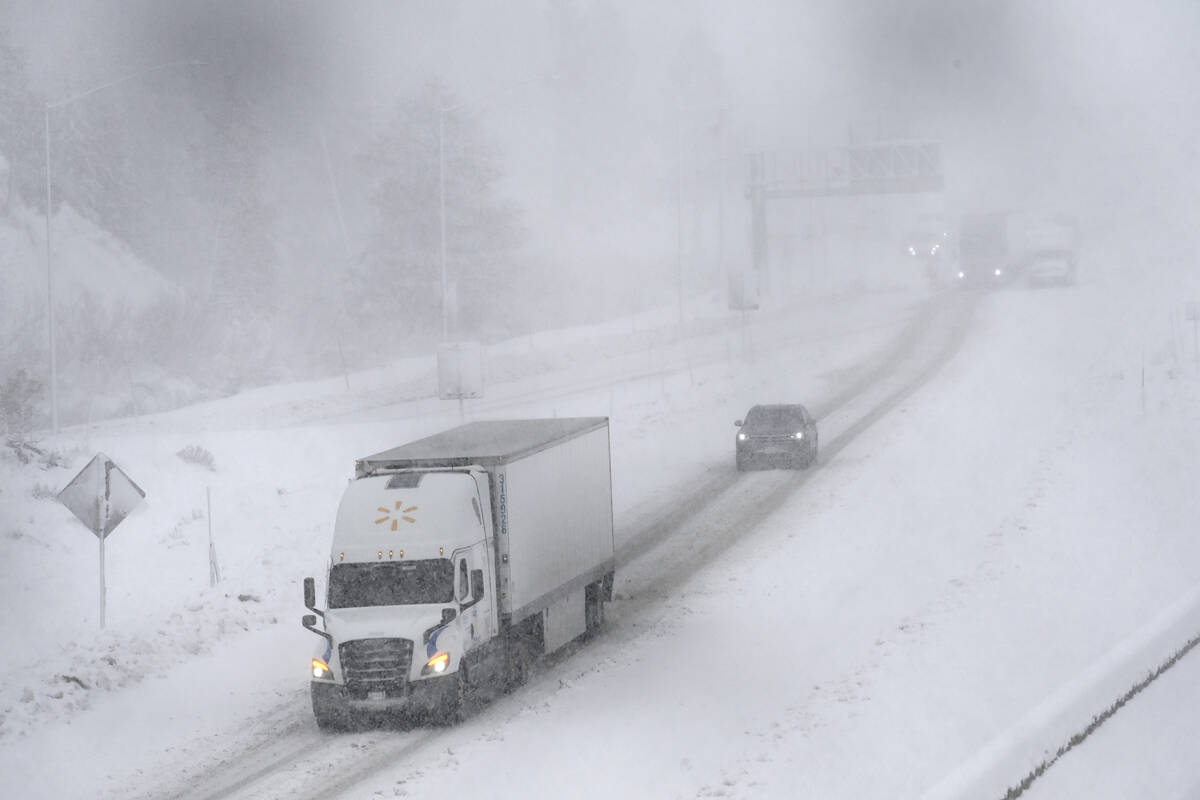
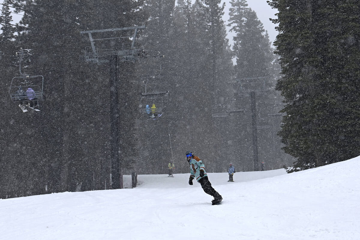
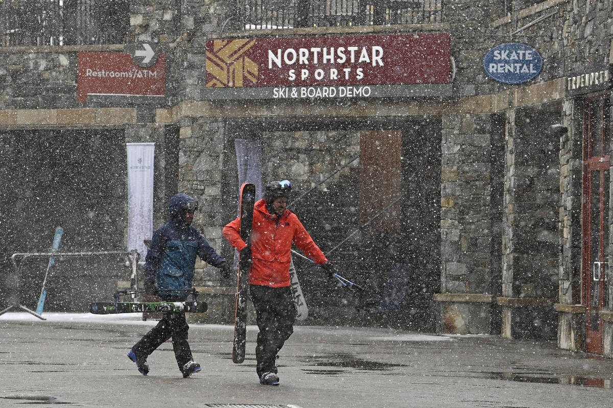
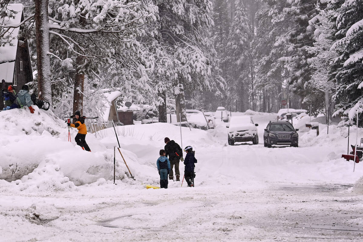
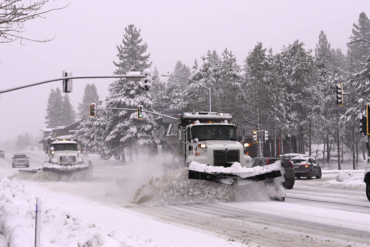


Las Vegans don’t have to deal with up the 5 feet of snow that some Reno-Lake Tahoe residents received Thursday on the first day of a weekend storm.
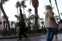
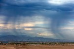
But steady and stiff winds with gusts close to 60 mph were factors Friday and will be even stronger Saturday, according to the National Weather Service. Gusts of 50 to 65 mph are likely Saturday late afternoon.
“It looks like 3 to 7 p.m. might be the strongest gusts,” meteorologist Andy Gorelow said. “The strongest winds are likely to be on the west side and Summerlin, but strong winds will be widespread across the valley.”
Precipitation chances are minimal “with few drops” if any at all.
The March record for a wind gust is 82 mph on March 21, 1984. The all-time strongest wind was 90 mph on Aug. 8, 1989, from a thunderstorm.
Strong winds will continue Sunday morning with velocities dropping to 15-25 mph sometime Sunday afternoon, Gorelow said.
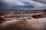
In the Spring Mountains, 4 to 10 inches of snow with wind gusts to 75 mph are forecast from early Saturday through early Sunday. White-out conditions are likely with snow falling down to 6,000 feet.
A winter storm is predicted for the Spring Mountains this weekend. Due to the high wind advisory & potential for blizzard conditions, sites in Kyle Canyon, incl Spring Mountains Visitor Gateway, will be closed 3/2/24
Please avoid travel & check conditions:https://t.co/9eMSqQkGpH pic.twitter.com/AOSrQtZVOG— Go Mt. Charleston (@GoMtCharleston) March 1, 2024
A wind advisory started at 4 p.m. Friday and becomes a high wind warning from 7 a.m. Saturday through 10 a.m. Sunday.
Gusts around the valley ranged from 28 mph to 47 mph by early Friday afternoon. Kyle Canyon had a 12:50 a.m. gust of 59 mph while Angel Peak reached 64 mph. Harry Reid International Airport had a gust of 39 mph. At 4:30 p.m., Red Rock Canyon recorded a gust of 44 mph. The North Las Vegas Airport topped out at 47 mph while Allegiant Stadium had a peak of 46 mph. Late Friday night, Blue Diamond had a gust of 66 mph.
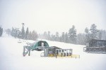
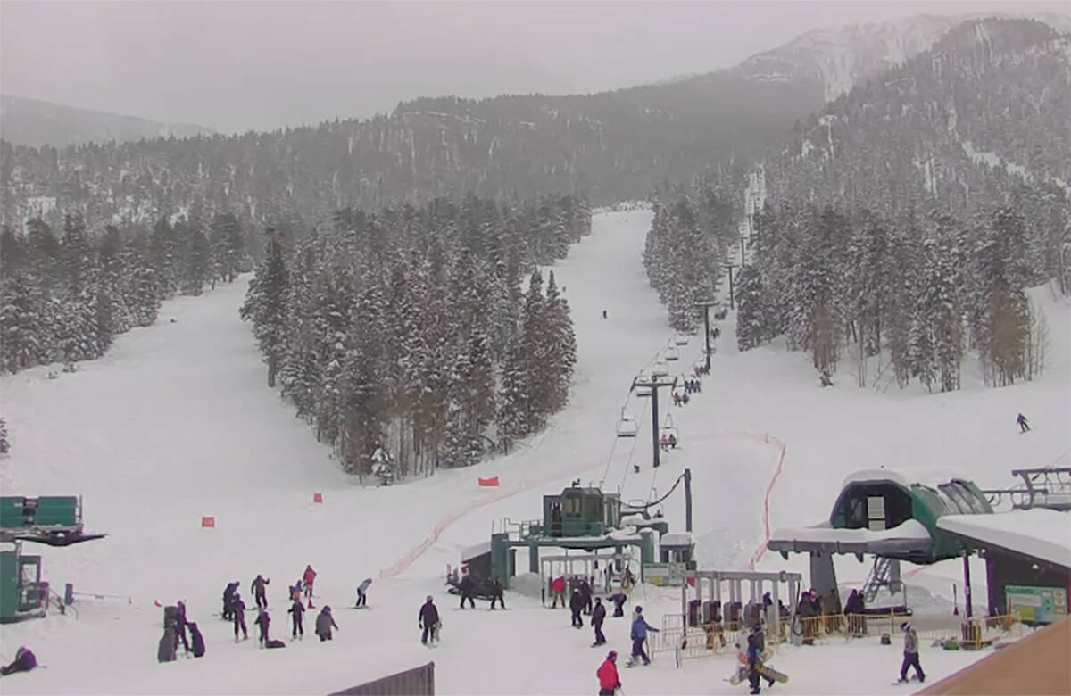
The storm caused the closure of several Saturday events, including the Spring Mountains Visitor Center and a youth skiing event at Lee Canyon.
However, Lee Canyon plans to remain open for the weekend. Officials say they expect about 8 inches of new snow. People should visit nvroads.com before traveling to Lee Canyon.
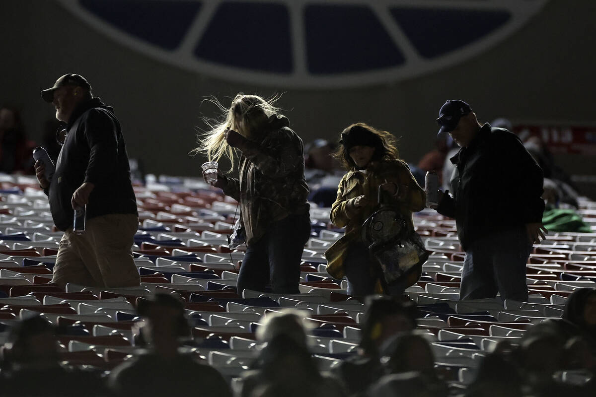
NASCAR officials plan to go ahead with a weekend of races starting Friday night.
The forecast caused the Arts District monthly First Friday event to be rescheduled for March 8. Bark in the Park near Black Mountain has also been scrubbed.
Power out to 850
About 850 NV Energy customers were without power at midnight Friday, more than 700 of them near Indians Springs, according to the outage website.
NV Energy says it has several dozens crews prepared to deal with outages.
NV Energy was advising customers to charge their electronic devices as soon as possible and to update their account with email addresses and telephone numbers to receive alerts.
Safety measures
The city of Las Vegas reminded residents that high winds are a cornerstone of the spring season, and that they are known to uproot trees and knock down power lines, events that should be reported to emergency services.
Safety tips include taking shelter when experiencing particularly high winds, and driving slower with both hands on the steering wheel while keeping a distance from tall vehicles, the city warned. “If the wind makes driving too dangerous, pull over to an area clear of tall objects.”
Residents should also turn off water sprinkler systems, the city said.
Harry Reid International Airport
Flight arrivals were delayed by almost an hour because of weather conditions all of Friday afternoon. Departures averaged 15 minutes late, but were increasing, according to the Federal Aviation Administration.
There were 494 flight delays Friday, but only four flights were canceled.
People planning to fly should check with their airlines for updates.
All state offices were closed early by the governor because of the weather.
⚠Updated snow totals and wind gusts for the Sierra and White Mountains this weekend! Travel will be very difficult, if not impossible, due to snow-packed roads and blowing snow, including Highway 168.#CAwx pic.twitter.com/bNwsQotix4
— NWS Las Vegas (@NWSVegas) March 1, 2024
Saturday morning winds will ramp up to 30-35 mph, increasing to 36-41 mph in the afternoon with gusts to 60 mph. The high will be near 65.
Winds will decrease slightly Saturday night with steady winds of 30-32 mph and gusts to 49 mph.
Sunday will also see southwest winds of 23-26 mph with gusts to 40 mph, perhaps causing issues for NASCAR drivers and fans during weekend races.
Dust advisory
Clark County issued a dust advisory for Friday and Saturday because of the forecast of high winds.
People who are affected by dust in the air should limit their outside activity as well as keeping doors and windows closed, the advisory states, among other precautions.
NV Energy said it has positioned crews around the valley to deal with possible power outages. People can call 911 if they see a downed power line.
Big shoutout to @NVEnergy for sending up trucks to Mt Charleston to be prepared for the high winds.
It’s already getting gusty out there… after being rather windy all day… pic.twitter.com/MFmlqNNkGN
— Mt Charleston Mountain Man (@mountainman_mc) March 1, 2024
Spring Mountains
Friday night calls for a partly cloudy sky and southwest winds at 33 to 41 mph and gusts to 55 mph.
Saturday should be partly cloudy with winds of 43-50 mph and gusts to 75 mph. Snow is a 50 percent possibility. New snow accumulation of 1 to 3 inches is possible.
The winds on Charleston Peak have the already fallen snow blowing straight up into the air. Residents report needing to have both hands on the wheel driving up.
— Mt Charleston Mountain Man (@mountainman_mc) March 1, 2024
There’s a 30 percent chance of snow showers Saturday night. The sky will be partly cloudy, with a low around 23.
Morning snow showers are possible Sunday. The high will be near 37. Southwest winds of 25 to 28 mph, with gusts as high as 44 mph are forecast.
A rare blizzard warning has been issued for Lincoln County this Saturday above 5,000 feet. While snowfall amounts are not expected to be extreme, high winds will combine with the snowfall to make visibility near zero. Avoid travel! #nvwx pic.twitter.com/pZ1OSPQxkH
— NWS Las Vegas (@NWSVegas) February 29, 2024
Rare blizzard warning
The weather service has issued a rare blizzard warning for Lincoln County for Saturday above 5,000 feet. The warning runs from 7 a.m. to 10 p.m. Saturday.
Only a few inches of snow are expected, but it will come with white-out conditions. Travel on U.S. 93 north of Caliente is expected to be “dangerous to near impossible.”
Conditions deteriorating on Donner Pass Road, CA with gusts up to 50 mph as the #LeapDayBlizzard moves in. pic.twitter.com/VxfP2LWlF2
— Colin McCarthy (@US_Stormwatch) March 1, 2024
Northern Nevada
A blizzard warning is in effect until 10 a.m. Sunday for the Lake Tahoe area. “A long duration of high intensity snow and strong winds is expected,” the weather service said, “with periods of whiteout conditions and near-zero visibility.”
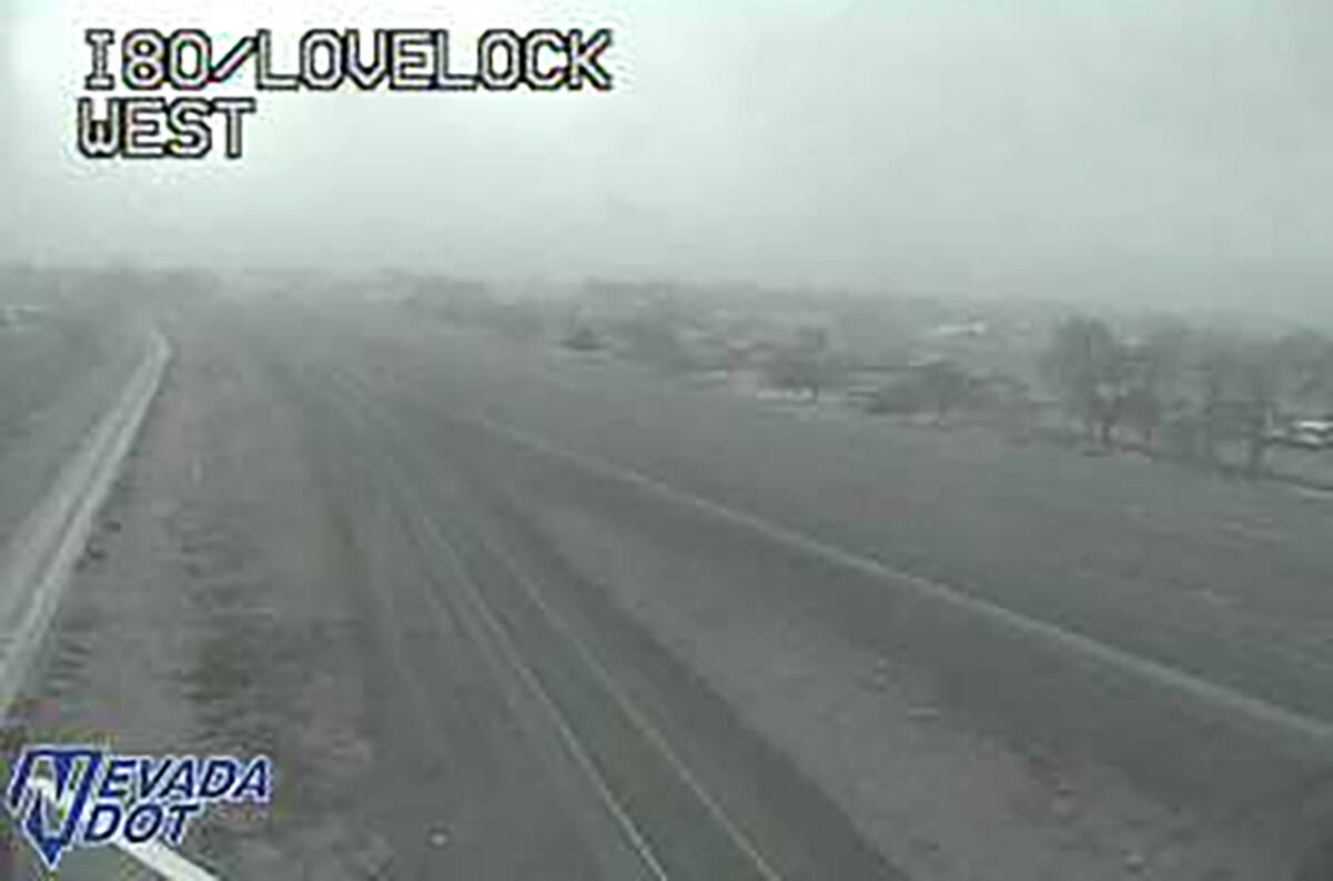
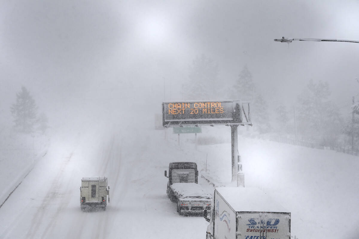
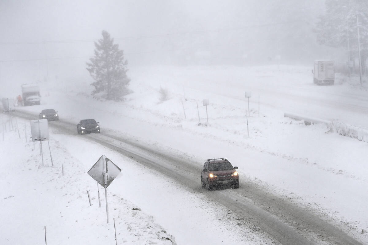
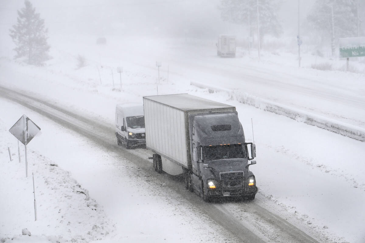
Donner Pass is forecast to receive 96 to 114 inches (nearly 9-10 feet) from Thursday through Sunday. Other parts of the Sierra Nevada will receive up to 10 feet of snow through Sunday.
Snow rates in the upper mountains may be 4 to 6 inches per hour with 3 to 6 feet of snow for Lake Tahoe communities and 6 to 10 feet of accumulation above 7,000 feet.
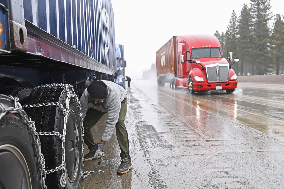
Travel in the region will be treacherous and potentially life-threatening, stated the warning.
Interstate 80 closed
About 100 miles of Interstate 80 was closed in the Sierra in both directions as of 4:30 p.m. on Friday.
All westbound traffic was being held at the Nevada-California state line and all eastbound traffic is being held at Drum Forebay due to multiple spinouts over Donner Summit. There is no estimated time for reopening the roadway.
Travel was highly discouraged over mountain passes this weekend due to a blizzard warning.
Contact Marvin Clemons at mclemons@reviewjournal.com. Review-Journal reporter Ricardo Torres-Cortez contributed to this report. Contact him at rtorres@reviewjournal.com.