Hilary, now a Cat 1, still packs a punch for Sunday arrival in US
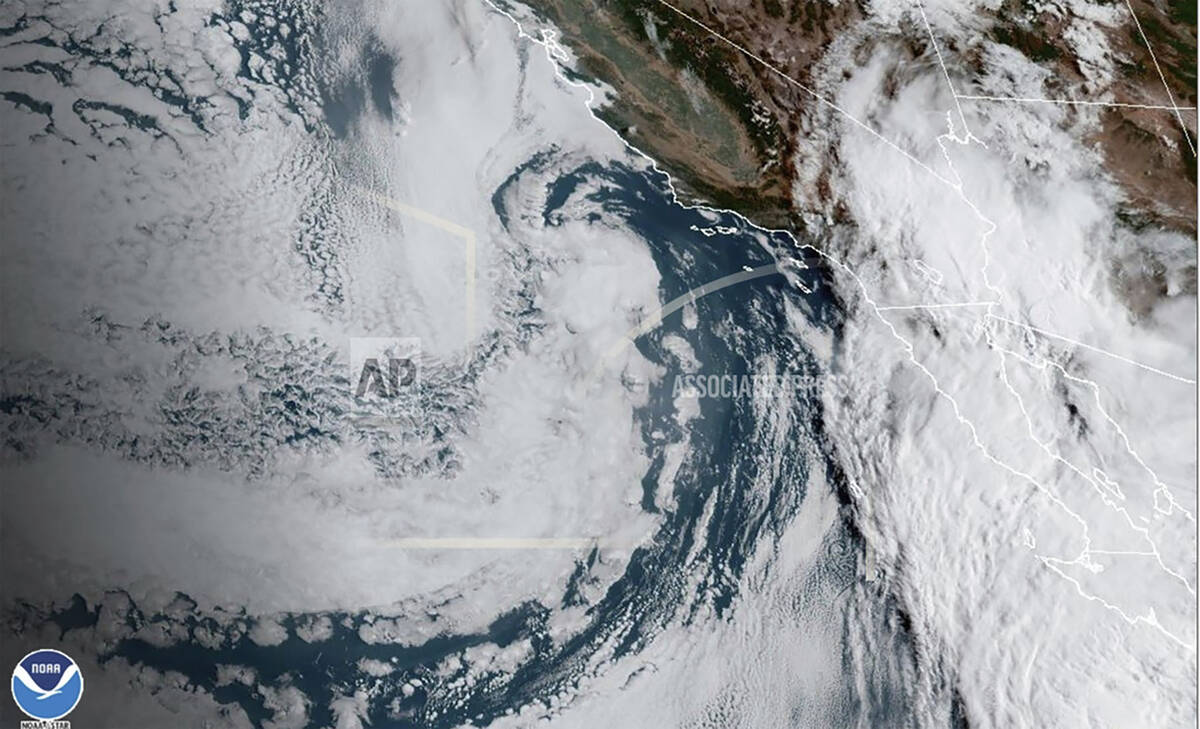


Hurricane Hilary is roaring toward Mexico’s Baja California peninsula as a downgraded Category 1 hurricane that’s still likely to bring “catastrophic” flooding to the region and cross into the southwest U.S. as a tropical storm.
Forecasters said the storm is still expected to enter the history books as the first tropical storm to hit Southern California in 84 years, and bring along high winds, flash floods, mudslides, isolated tornadoes, and widespread power outages. The storm is expected to dump up to 10 inches of rain in southern California and Southern Nevada.
Meteorologists are warning that despite the hurricane’s weakening, the storm’s speed had accelerated Saturday en route to an expect night landfall on Mexico’s coast.
Death in Mexico
Meteorologists warned that despite the hurricane’s weakening, the storm’s speed had accelerated Saturday and remained treacherous. One person drowned Saturday in Mexico’s town of Santa Rosalia, along the peninsula’s eastern coast, when their vehicle was swept away in an overflowing stream. Rescue workers managed to rescue four other people, according to Edith Aguilar Villavicencio, the mayor of Mulege township.
While it was not immediately clear whether officials consider the fatality to be related to the hurricane, footage posted by local officials showed torrents of water coursing through the town’s streets.
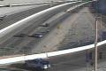
Officials as far north as Los Angeles scrambled to get the homeless off the streets, set up shelters and prepare for evacuations.
Hilary was expected to plow into Mexico’s Baja peninsula on Saturday night and then surge northward and enter the history books as the first tropical storm to hit Southern California in 84 years.
The U.S. National Hurricane Center issued tropical storm and potential flood warnings for a wide swath of Southern California from the Pacific coast to interior mountains and deserts. Officials talked of evacuation plans for California’s Catalina Island.
“I don’t think any of us — I know me particularly — never thought I’d be standing here talking about a hurricane or a tropical storm,” said Janice Hahn, chair of the Los Angeles County Board of Supervisors.
After rapidly gaining power early Friday, Hilary slowed some later in the day but remained a major Category 3 hurricane early Saturday with maximum sustained winds of 125 mph, down from 145 mph.
Forecasters warn the storm could cause extreme flooding, mudslides and even tornadoes. No tropical storm has made landfall in Southern California since Sept. 25, 1939.
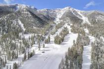
Southern Nevada impact
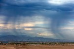
Hilary is forecast to deliver heavy rain, possible flash flooding, windy conditions and much cooler weather to the Las Vegas region this weekend. The Saturday high topped ou at 79 at the Las Vegas airport, the lowest high ever for Aug. 19.
“We are not expecting anything that extreme (5 to 8 inches),” National Weather Service meteorologist Chris Outler said. “The official forecast for the valley is 1 to 2 inches, possibly a bit more for the weekend.”
The weather service issued a flood advisory for much of the Las Vegas area and southern Nye County starting Saturday morning and running through Monday afternoon. It said excessive storm runoff could cause flash flooding in many areas.
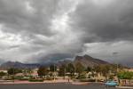
Impacts from Hilary are likely to be highly disruptive, damaging and dangerous, AccuWeather meteorologists warn. Copious amounts of rain, in some places more than would normally fall over the entire year, will trigger tremendous flash flooding.
AccuWeather meteorologists said they are are concerned that a life-threatening flooding disaster may unfold in some of the desert areas east of the mountains in Southern California to Southern Nevada and western Arizona.
A tropical storm has sustained winds of 39-73 mph. However, hurricane-force gusts of 74 mph or greater can occur during a tropical storm. The projected track cone shows the storm heading fairly straight north through the Mojave Desert and entering Nevada west of Las Vegas on its way to dissipating in central Nevada or Idaho.
Some projections show up to 3 inches of rain per hour from Palm Springs south to the U.S.-Mexico border. San Diego could also receive heavy rain.
Several variables
“A lot will depend on the terrain,” meteorologist Morgan Stessman said. “Most likely we will get 1 to 2½ inches of rainfall Saturday through Monday in the valley,” adding that the Spring Mountains and Sheep Range could receive 2 to 4 inches.
The other major factor is the track of the storm. Should it move more westward, Las Vegas and the region would likely feel less impact. However, if it moves most east, the impact might be greater. A projected path released Friday morning shows the centerline moving just west of the Las Vegas area as it moves northward toward Reno.
Death Valley, which suffered major flooding episodes about a year ago, could receive 2 inches or more, Stessman said, again depending on the terrain. Flash flooding could easily occur with that much rain. The fresh York fire burn scar south and west of Searchlight could also be a flash flooding situation as well.
Heaviest rain starts Saturday
Saturday is forecast for a 50 percent chance of rain as the storm moves closer. The day’s high should be around 88, well below average because of heavy cloud cover. Winds again may gust to around 20 mph.
Rain chances Saturday night are listed at 100 percent with Sunday and Sunday night precipitation odds also at 100 percent.
Hilary Cone Copy by Tony Garcia on Scribd
A Sunday high in the upper 70s is forecast, which might break the lowest record high for Aug. 20. In 1957, the high was only 78.
Rain is possible through much of the week, says the weather service. Daily highs will stay below 100 with overnight lows in the upper 70s.
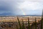
Rare storm for Southern California
Southern California has seen notable tropical cyclone events, including the 1858 unnamed hurricane that affected San Diego. Additionally, the El Niño of 1938-1939 brought four tropical cyclones with substantial rainfall to the region. Hurricane Kathleen in 1976 and Hurricane Linda and Hurricane Nora in 1997 also left their mark with flooding rainfall and gusty winds.
Contact Marvin Clemons at mclemons@reviewjournal.com. Follow @Marv_in_Vegas on X. The Associated Press contributed to this report.
RELATED
Las Vegas weather agency loses radar on eve of Hilary's arrival
Las Vegas sees more monsoon storms as Hilary nears— PHOTOS
100 Nevada National Guard troops activated ahead of Hilary