
Wet week: Las Vegas sees more showers from early June storm — PHOTOS
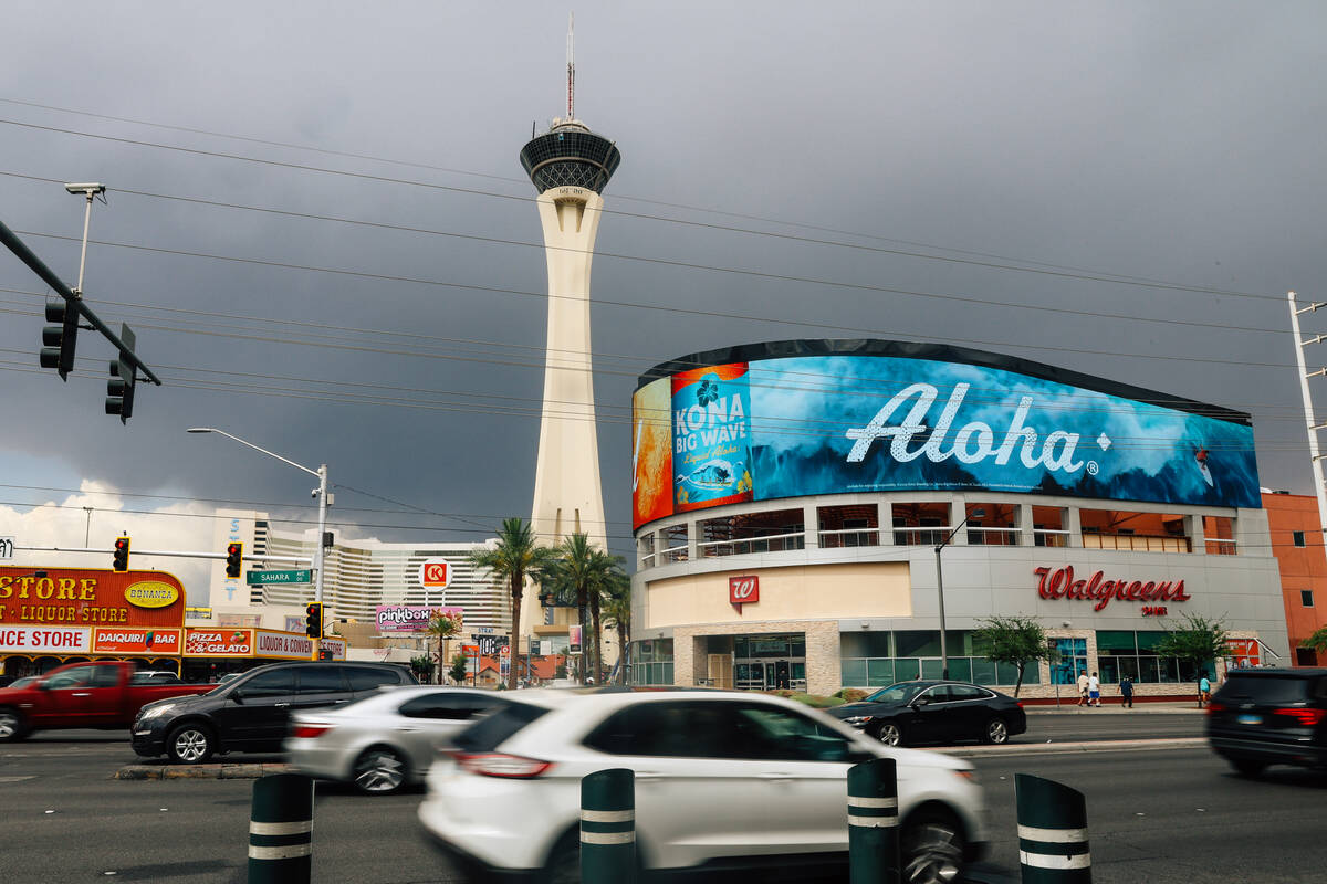
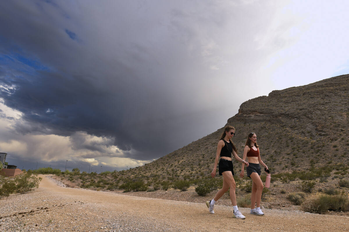
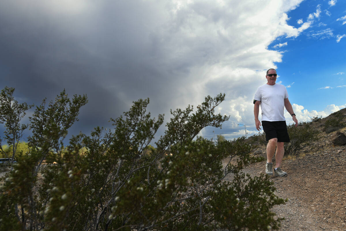


Another round of showers, unusual in early June, caused some disruptions across the Las Vegas Valley on Thursday.
— Severe thunderstorm and flash flood warnings affected Goodsprings, Sandy Valley, Jean and Interstate 15 on Thursday night.
— Harry Reid International Airport experienced periodical delays because of storms, according to the FAA. Storms caused “some arriving flights to be delayed an average of 36 minutes” in the afternoon, the agency said.
— At 4 p.m., the National Weather Service said the Lincoln County Sheriff’s Office was reporting that U.S. 93 between mile markers 70 and 80 in Clark County was “impassable due to flooding.” At least an inch of rain fell in the area. On Monday night, flash flooding temporarily closed all lanes of U.S. 93 just north of Interstate 15.
— Storms brought rain and hail up to one-inch in diameter to the Summerlin area.
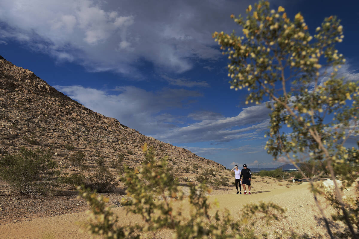
Wet week
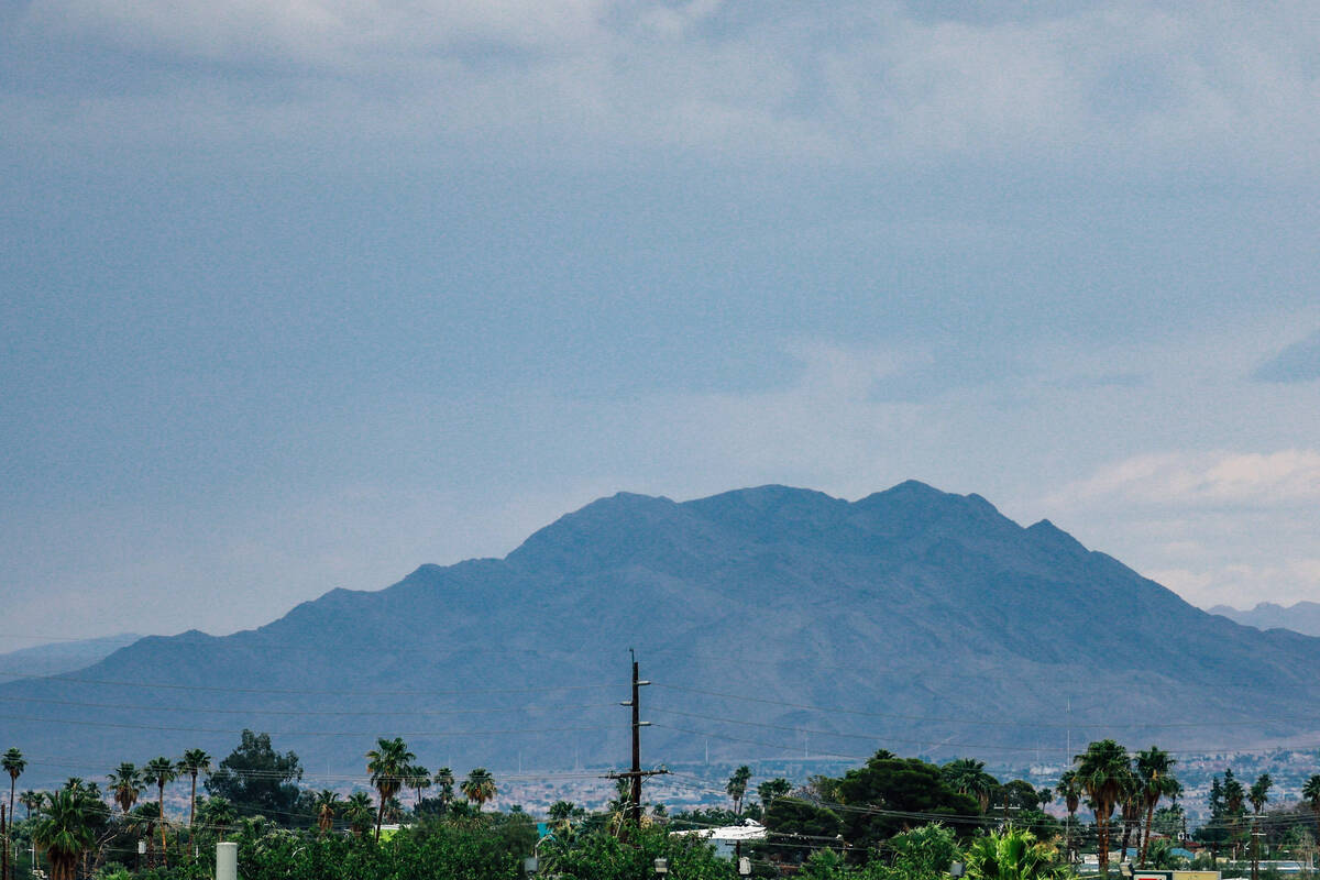
The valley has seen a rare wave of early June moisture this week. But it’s not from monsoonal storms, which typically happen in July through September.
On Monday, strong storms pounded parts of Southern Nevada. On Tuesday, the Strip and downtown Las Vegas saw some significant rain.
Las Vegas is expected to dry out for the weekend, with highs in the low 100s by Saturday.
Wet May
Like this month, the month of May started out on a wet note. And May is normally one of the driest months of the year in the valley.
Thanks to a spring storm during the first week of the month, May 2025 became the wettest May on record for the valley. Harry Reid International Airport recorded 1.44 inches of rain, 1.37 inches above normal.
By the end of the month, the valley was breaking heat records, reaching 105 degrees on May 31 during a two-day “extreme heat” event. It was the hottest day of the month.


