
Monsoon storms return to Las Vegas Valley; thousands lose power


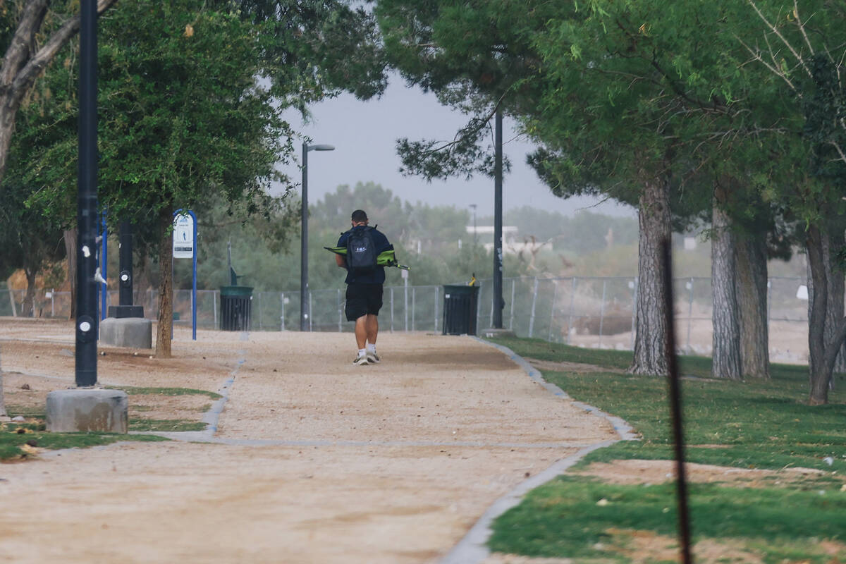
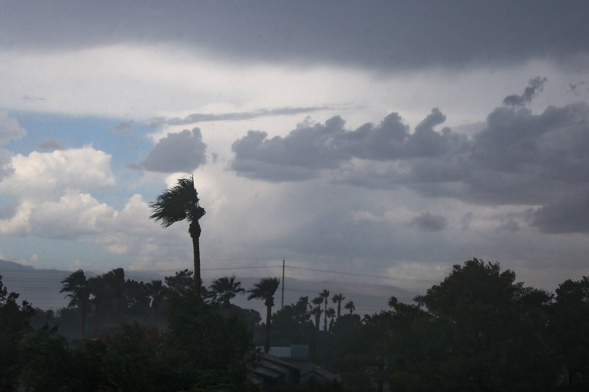


Another round of monsoon storms blew through the Las Vegas Valley on Friday afternoon, ushering in power outages, flash flood warnings and flight delays as heavy rain and high winds pummeled the area.
NV Energy was reporting 88 outages across the valley late Friday night, leaving about 4,370 customers in Clark County without power — though that number was as high as 13,000 earlier in the day. Many of the outages were concentrated in the east valley and parts of Henderson.
At Harry Reid International Airport, the FAA said a ground stop was in effect until 6:15 p.m. Friday. After it was lifted, departing flights were experiencing delays of roughly three hours on average.
According to the National Weather Service, Harry Reid had recorded 0.04 inches of rain as of 3:55 p.m. Friday. The top wind gust in the valley was 65 mph, also recorded at Harry Reid at 3:31 p.m.
Parts of Henderson and the east and south valleys recorded .04 and .08 inches of rain, according to gauges from the Regional Flood Control District.
A flash flood warning was in effect for the Spring Mountains until 7:30 p.m. Heavy rain was “falling over the northeastern side of the Spring Mountains,” the weather service’s Las Vegas office said in a post on X just after 4:20 p.m.
“Over 1 inch of rain fell in 15 minutes,” the post said.
Another flash flood warning for northwestern Clark County expired at 7:30 p.m. The weather service said “at 4:16 p.m., radar indicated thunderstorms producing heavy rain across the warned area. Between 0.75 and 1.25 inches of rain have fallen.”
In a post on X just after 3:10 p.m. Friday, the weather service posted video of a landspout that originated from storms near Cal-Nev-Ari, which is south of Searchlight on U.S. Highway 95. The weather service also reposted an X post that showed hail falling. Other posts showed high winds and heavy rain falling in Henderson.
Seen west of Highway 95, confirming that this landspout came from the Cal-Nev-Ari storm.
Take cover if near thunderstorms today!#NvWx https://t.co/7C199qzYmY pic.twitter.com/EkDjicn0yt
— NWS Las Vegas (@NWSVegas) September 26, 2025
And the rain might not be done with the Las Vegas Valley just yet.
According to the National Weather Service, Saturday’s forecast for Las Vegas was calling for a high near 84 with possible showers and thunderstorms. Sunday’s forecast called for the temperature to reach a high of about 83, with the possibility of showers and thunderstorms.
Much-needed rain
Last week, Harry Reid airport saw measurable rain (0.24 inches) for the first time since July 3, at the beginning of monsoon season.
The airport has recorded 0.3 inches of rain this monsoon season (normal is 0.95), the weather service said. Up until last week, this had been the fourth-driest monsoon season on record. The driest years are 2020 and 1944 (tied with a trace) and 2010 (0.01). The Las Vegas monsoon season runs from July 1 to Sept. 30.
So far in 2025, the airport has seen 2.33 inches of rain (average is 3.02). A normal rainfall year in Las Vegas is 4.18 inches.
2025 rain events
Sept. 18: The valley’s long dry streak ends, thanks to remnants from Tropical Storm Mario.
July 18: A few monsoon storms soaked parts of the valley.
July 3: Some showers fell across the area but a strong dust storm caused widespread power outages in the east valley.
June 5: In a rare event for June, showers caused a few disruptions across the valley.
May 6: An “exceptionally rare” May storm shattered rain records.
March 17: Strong winds and a few showers swept through the valley on St. Patrick’s Day.
March 5: A Pacific storm brought light rain to parts of the valley. The nearby mountains saw snow.
Contact Kevin J. Barr at kbarr@reviewjournal.com. Review-Journal Web Producer Mark Davis and Assistant City Editor Brett Clarkson contributed to this report.


